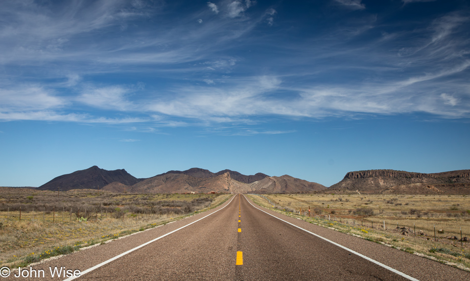
Leaving the hills and canyons of the Alpine, Texas, area for a drive north, we were soon entering the Permian Basin. Maybe we were always in the basin as it stretches in all directions for a total of 86,000 square miles or 250 miles (400 km) wide and 300 miles (480 km) long. Our path is being dictated by roads not previously travelled by us that we had tried to identify by looking at a very low-res image of our Map of America shared here on the blog in 2018. After we get home from this trip, I’ll be posting an updated map of the roads we’ve driven over that includes last year’s trip up the middle of the U.S. and the roads we’ll travel today.
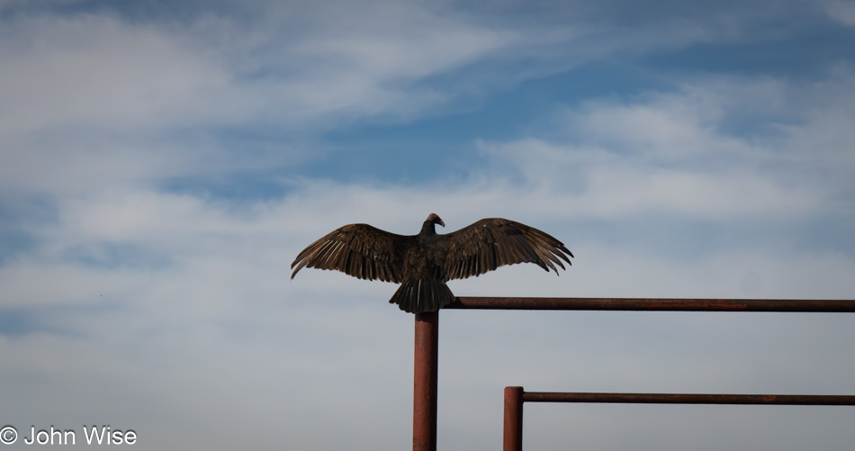
After passing by this “ornamental sculpture,” we needed to turn around to determine if we’d seen what we thought we had. Pulling up after a quick U-turn, the buzzard had pulled its wings in but once again threw them back out. Obviously, it was not a sculpture. A buzzard buddy was also perched nearby, warming his wings in the sun, but I couldn’t fit the two in a single shot, nor could I capture a more detailed image as lazily I had taken only a single lens with us on this trip. As a matter of fact, I didn’t bring my tripod either, which will hurt my ability to take pictures of the main reason we are on this trip; more about that tomorrow.
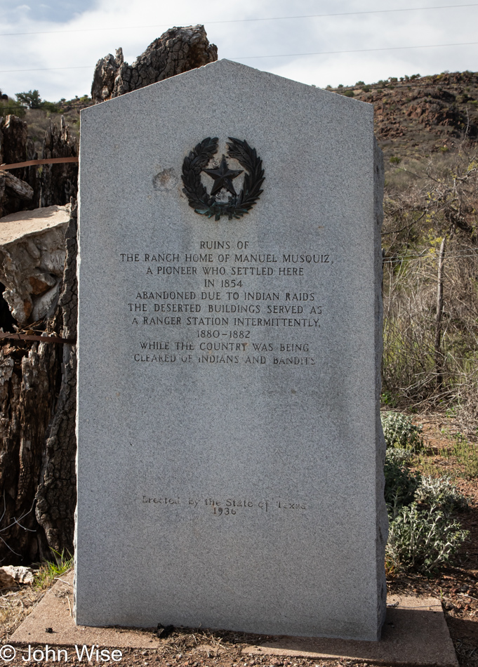
Is that three bullet holes that have chipped into the historical marker that’s making me hysterical? This sign from 1936 celebrates the clearing of Indians and bandits back when the “country” was being cleared of those scourges. The land didn’t need clearing if it wasn’t for the invading hordes that wanted an abundance of free lands that those pesky Indians didn’t hold a title to. Maybe I’m just too woke, but I find it an affront and demeaning to Indigenous Americans to equate them with bandits and the suggestion that they needed to be pushed away in any case.
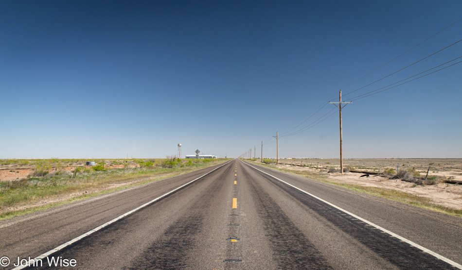
The area we were out traversing from about Saragosa, Texas, to Hobbs, New Mexico, is home to the incredibly monotonous landscape that is nothing but dirt, oil and gas wells, and sellers of brine. Brine is a salt solution used by the mining industry; we had to look that up. This is pretty much what everything looks like in the Permian Basin.
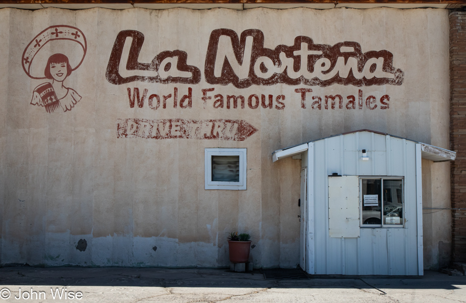
This was a coup that only happened due to the demands of the bladder. After stopping at a gas station here in Pecos, Texas, Caroline was admiring a sign next door and said she wanted to take a photo of it. Often, when I hear that, I’ll also move to take the same image using my DSLR, should her sense of the aesthetic have been correct, and later, I regret not having taken the same photo with a better-quality camera. Good thing I did because after taking this, I wandered to the front of the building believing that La Norteña Tamale Factory was closed due to the open sign being off in the drive-thru, but sure enough, they were open. I ordered a couple of tamales for each of us, one green chili chicken tamale and the other a spicy red beef. Back on the road heading north, we shared one of the green chili tamales and immediately turned around to return to the shop.
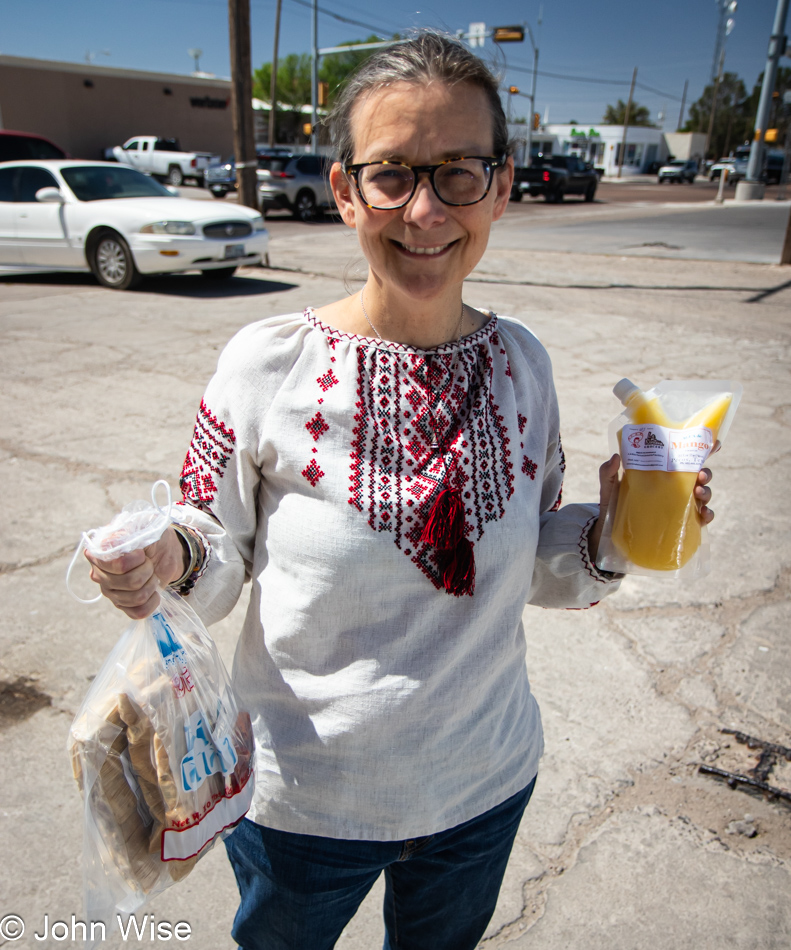
We did not go back to register a complaint; we were not unhappy. On the contrary, we were ecstatic that a $2 tamale should be so amazingly perfect. That’s right, perfect. Our return was to collect a dozen of the green chili chicken and a dozen of the Hatch chile “Rajas” tamales, along with a packet of spicy peach ring candies by Nooshka’s Candies. Beaming with enthusiasm and exclaiming our delight, the owner came out of the kitchen to thank us and explained that the quality of everything they offer is due to the efforts of the amazing staff. Before we left, he generously gifted us with a melon/mango aqua fresca. Good thing we brought the ice chest with us on this trip.
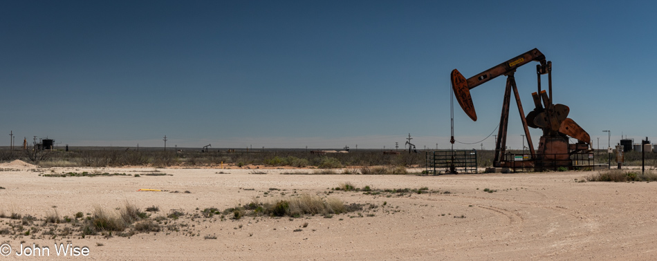 Farther along the road, the smell of gas permeated the area on occasion while we also drove through wafting invisible clouds of more fragrant petroleum. At least petroleum is somewhat interesting smelling, whereas gas is anything but. The eye sees sand, low bushes, discarded and unused equipment, and 10,000 pickup trucks interspersed between countless tankers and various other semi-vehicles, pulling and pushing every manner of equipment across the otherwise barren land.
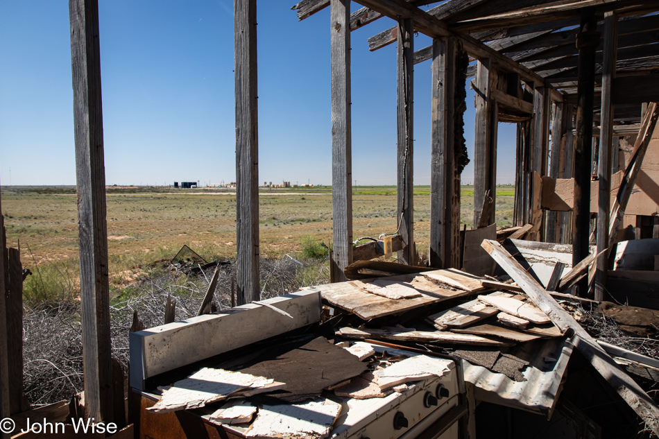
With nearly 150 miles (240km) driving north before turning east for more of the same, the majority of our day was spent in this seeming wasteland with no redeemable qualities other than being an epicenter for economic activity that contributes to an incredible resource wealth for Texas and New Mexico. Well, that stuff and the town of Pecos with those tamales.
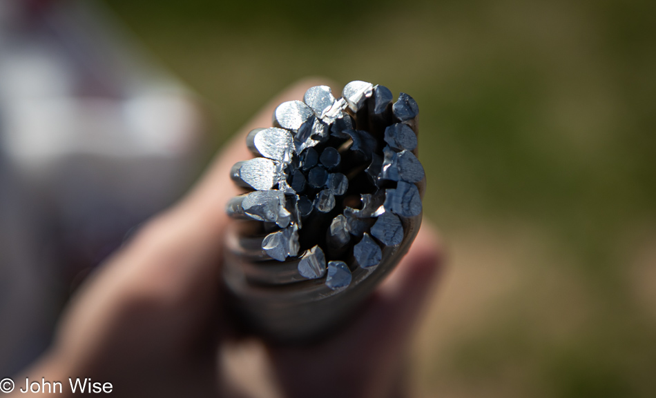
Big-time nerd action was had on the side of one of the roads we traveling when we stopped to watch a crew working on electrical towers putting up high-voltage transmission lines. We kept our distance until I noticed one of the guys starting to cut a cable, and I asked if we could see the cable up close; he said we had to keep our distance, but he then cut off a length of the aluminum and steel cable and brought it to me. Sadly, it was too long to fit in our car, and he’d already moved on, so there was no asking him for a shorter piece. No matter; we were as happy as if we’d spotted wolves in Yellowstone.
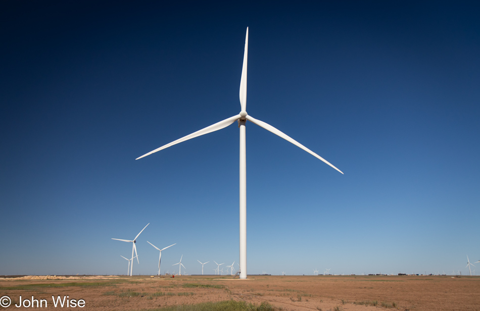
While much of the Permian Basin is this flat, dry environment with sporadic areas that are farmed, the area is big on energy extraction of not only oil and natural gas but of wind too. With about 2 billion barrels of oil produced worth around $150 billion annually and 10.5 trillion cubic feet of natural gas extracted worth about $38 billion, the wind might be a small part of the economy, but still, they are producing about $6 billion of electricity by harnessing this resource.
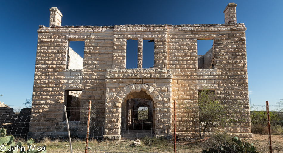
On the side of State Highway 137 near Big Lake, Texas, stands the old Stiles Courthouse which is looking like it won’t be of this world much longer. If this was part of a larger town at some point in the past, evidence of that is hard to see out here. The building was still in use in 1966 by the highway department before being abandoned. In 1999, an arsonist burned it after two previous failed attempts.
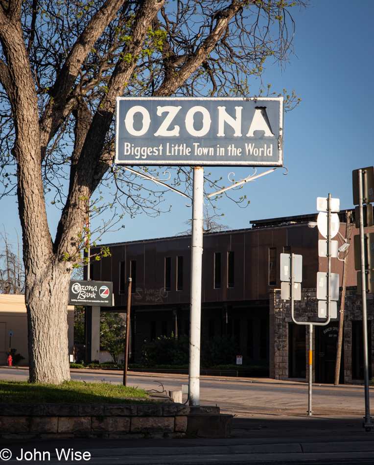
Twenty-four years ago, while returning from our first cross-country road trip, we passed through Ozona, Texas, and took a photo of this sign; you can see it by visiting this ancient page from that trip. Tonight, we are staying here in Ozona. By the way, our original attraction was due to the sound of the name of the town, which reminds us of our home state, Arizona.