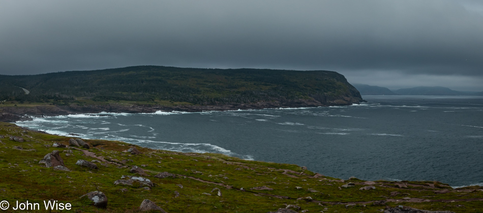
Last night, on our drive to St. John’s, we were moving in and out of rain showers, and while it wasn’t snowing, I wasn’t enjoying anything about it. After getting into the biggest city in Newfoundland, we found parking in a garage across the street from our hotel and were walking in shortly before 10:00. The smell of weed, fried food from the restaurant downstairs, and a hint of cat pee greeted us on our walk up the leaning stairs making for a strange transition from small towns to what is still a small big-city with a population of only about 110,000 inhabitants. When we woke, it was still raining; once back on the street, it had slowed to a light rain, though it was enough that I wanted to skip our planned stop for a hot breakfast and instead rely on the granola we were traveling with.
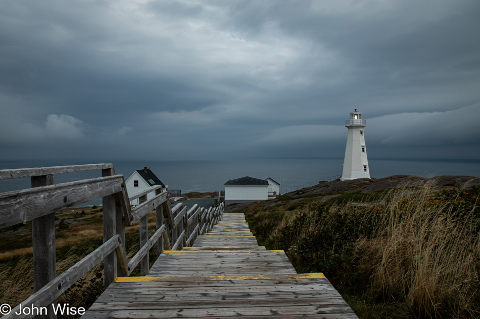
First things first, meaning that the Cape Spear Lighthouse, only ten miles away, will earn a visit. The rain had paused, but we could be grateful for the lingering heavy clouds. I can’t imagine photographing this lighthouse in any more dramatic setting than the one we witnessed this morning.
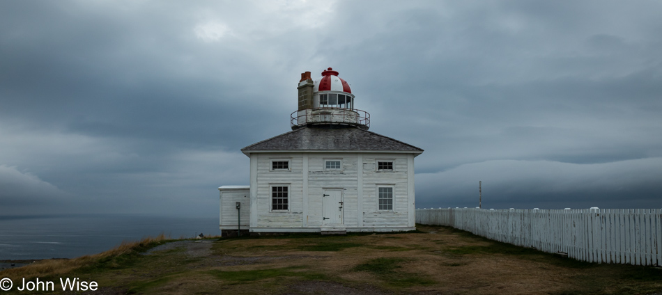
Add another lighthouse to the list of places to come back to. This older lighthouse at the same site was put into operation in 1836 and was still closed while we were visiting this national historic site. I’d wager that should we make that return visit to Newfoundland, which I’ve been suggesting is likely to happen, it will involve flying directly into St. John’s to maximize our time out here. I’ve been reading more about St. John’s as I was learning the story of the Cape Spear Lighthouse, and it became obvious that we shouldn’t have only used the city for lodging; on our subsequent visit to the island, we should not only explore one of the earliest European settlements in all of North America but also take the time to tour the oldest lighthouse in all of North America.
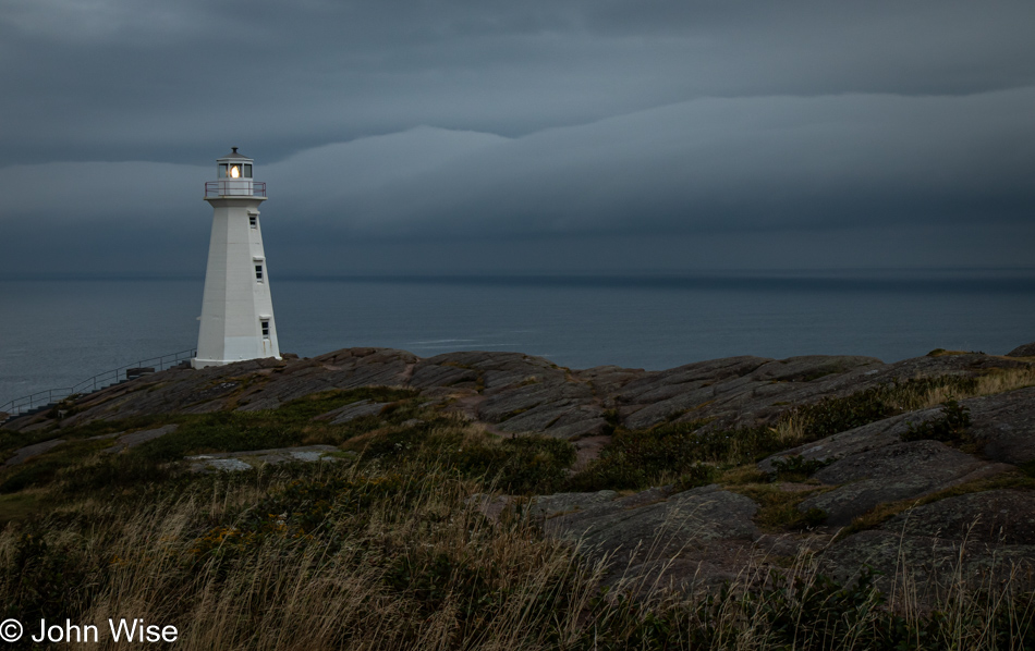
You might notice that this photo of the modern lighthouse is similar to the other shot. Caroline and I were unable to agree on which one was nicer. Her vote was for the first one, while mine was for this photo, which is obviously far superior.
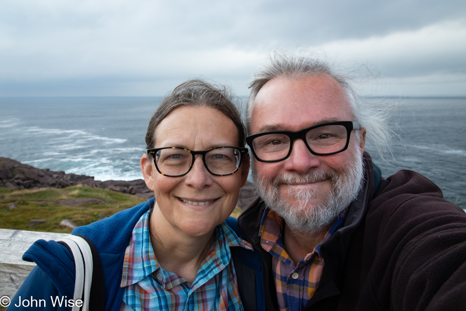
I wonder if anyone has ever recognized that Caroline and I are almost the same height. If you know us, you should have noticed that that’s not true and that I tower a solid five or six inches (12.5 to 15cm) over her. So what’s going on? The truth is, I scootch down to her height, not only so we can stand cheek to cheek, allowing our smiles to be on the same level, but this affords me a better grip on her backside, which is often the motivation she requires to offer a heartier smile for the camera. Now you know one of our secrets I’ve never shared before, and it all happened at the Easternmost Point of Canada, the kind of significant place one should share such things.
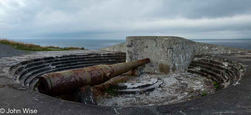
World War II is a distant memory for most, but this battery in ruin is one of the visual reminders that fear of invasion was everywhere, even on the coasts of North America. I wonder how much of my sense of the history of this site is informed by the war footage and subsequent movies focused on war from that era and how the 20 or so men in the crew would be working the turret, aiming, arming, and calculating the trajectory of the projectile? Do others think about how much their memories are informed by specific media exposure? I’ve seen elephants and the Alps of Italy, yet I fail to envision Hannibal leading a herd of nearly 40 elephants over the mountains in Southern Europe for an attack on Rome. Maybe that movie hasn’t been made, or I missed it?
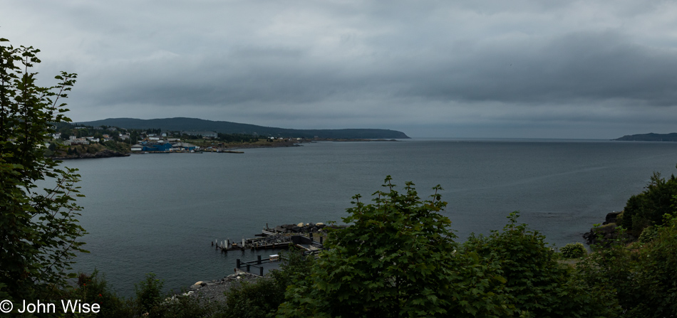
This is the view of Witless Bay in the small town of the same name, as seen from the Irish Loop Coffee House that sits just off the Irish Loop, which travels around the southern portion of the Avalon Peninsula. At a minimum, we would grab a couple of coffees until I asked if they could whip us a quick breakfast because we were trying to make an appointment further south and had precious little time to spare; they obliged us. While breakfast was a simple affair of eggs, bacon, potatoes, toast, and coffee, it was had while sitting at a window, offering us this view right here. Enjoying the experience and intrigued by some lunch items written on a nearby chalkboard, we ordered two brie, bacon, and apple sandwiches on croissants for lunch out on our trail later. At the counter, about to pay for everything, the oat cakes were talking to us, so a couple of those went with us. Little did we know, we should have taken them all. Thinking about them again, I’ve reached out to Judy, the owner, hoping to score the recipe.
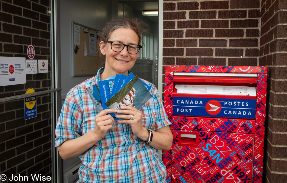
Waiting until nearly the last minute to have postcards delivered from Canada to family in Germany, we finally remembered to pull over at a post office to send them off. Postmarked from Ferryland, Newfoundland, the cards Caroline wrote yesterday at the Quintal Cafe are about to start the long journey to Europe, meaning she’ll likely get back to Phoenix before any of these reach those lands across the Atlantic Ocean.
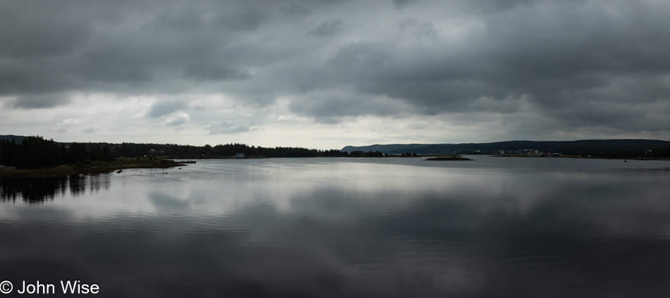
Comfortable with the time it took to reach the south coast, we felt we could afford a couple more stops along the way. This one was at the Renews River flowing to the Atlantic Ocean.
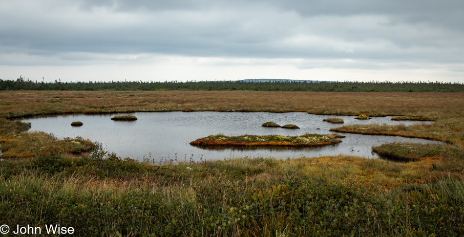
There’s not a lot to be found at the Chance Cove Provincial Park other than a pit toilet, a parking lot, and a trail to the sea, not that we saw any of those things, but that’s what I learned after looking for some relevant information that might allow me to share a thing or two. Then, there is everything else not listed on the park’s website, such as the environmental elements that would naturally be contained within these 5,110 acres (2,068 hectares) of land that were important enough to be designated as a provincial park.
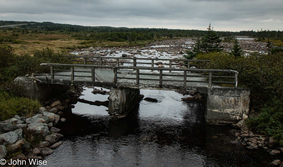
Well, this isn’t nothing: near the provincial park, a crumbling old bridge from the previous road that would have been in use a long time ago, judging by the state of it.
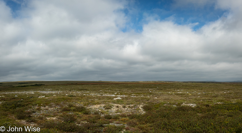
It was right about here that we first learned of the Eastern Hyper-Oceanic Barrens, though I mentioned them in yesterday’s post. Notice the lack of trees; trees attempting to grow here will be stunted as the environment is not conducive to hardy plant growth. We are likely looking at a carpet of heath moss, which covers much of the barrens. As Europeans began settling in Newfoundland, these areas always had small populations because, at best, farming poor soils was a tough slog. Hence, the people of this corner of Canada still enjoy a special meal, known as Jiggs Dinner, that relies on turnips, carrots, and potatoes, but more about that in tomorrow’s post.
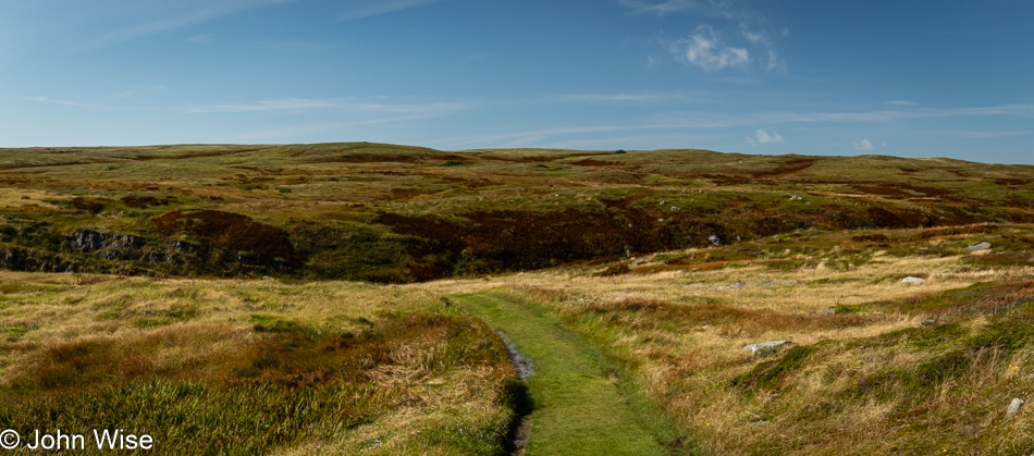
We arrived at the Edge of Avalon Interpretation Centre in Portugal Cove South with plenty of time before our scheduled 12:30 tour of Mistaken Point, a UNESCO World Heritage Site. We booked our two spots on this rare tour back in May, only to learn that through a computer snafu, our reservations weren’t to be found in their computer system. After showing the guide our email confirmation, it turned out that she was the person I had been communicating with back in May. She explained that this wasn’t the first time it’s happened and that it wasn’t a problem here near the end of the season. Only 3,000 people are allowed to visit Mistaken Point annually, and I thought we were incredibly fortunate to be part of that limited number. To get out to our trailhead, we formed a convoy of vehicles to drive the nearly ten miles out to a ranger station where we would be guided by two people, ensuring that none of us strayed or tried to collect souvenirs.
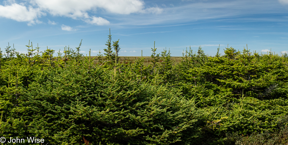
If you didn’t notice it in the previous two photos, the heavy cloud cover of the first part of the day had given way to glorious blue skies. Walking the well-defined trail to Mistaken Point, our guides pointed out various features and history of the area. Not only were we invited to sample partridgeberries and Swedish bunchberries (also known as Cornelian cherries), but we also tried small black berries called crowberries. A shallow depression in the soil allowed for the accumulation of soil and facilitated this small stand of trees to take root. This small pocket of balsam fir, known as a tuckamore, is at full maturity, yet I can look over the tops; their short stature indicates the impact of the hostile environment on the barrens’ flora.
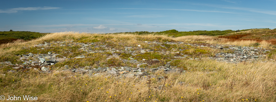
It was not obvious, in the least, to my untrained senses, but this hillside and its rock cover are not here together by coincidence. While the slope of the hill is natural, the rocks were collected elsewhere and used to cover the area by early inhabitants who used them to dry fish on.
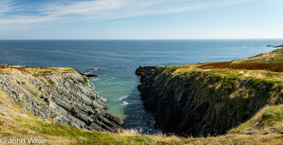
Taking any of the photos I’ve managed to capture since we got on the trail has been a bit of a race, as our guides are trying to keep us moving to maximize our time at our destination. While we know it is a fossil site, beyond that, we have no idea what we will be seeing today, as we avoided learning more until this day when we’d experience it with our own senses. Once Caroline learned that this was a USESCO site, that’s all that mattered as I made our reservations; everything else was an unfolding surprise, especially the weather.
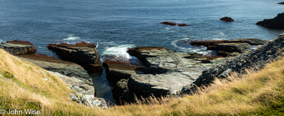
This is Watern Bay and the last segment of our hike to the mysteries that await us at Mistaken Point.
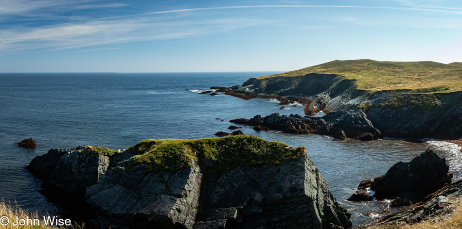
Okay, just one more corner where half of us are lingering while the other group readies themselves for visiting the site.
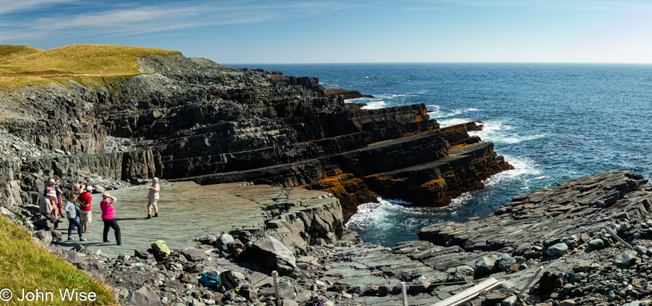
There it is, the slab of rock we are so excitedly waiting to visit for ourselves, the rock that has earned the UNESCO World Heritage designation. Cynthia, one of the guides, is with her group explaining things I’m sure we’ll hear from Kara, the other guide. Meanwhile, we’ve moved into a small staging area where, in accordance with our agreement prior to being allowed to sign up for the tour, we are doffing our shoes as we are only allowed to walk on the rock wearing socks to protect the fossils.
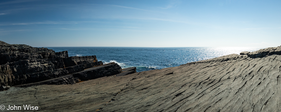
We are on the fossil surface, and while you may not see any of them from this angle, when you are here in person, they are so numerous that you’ll be at a loss to figure out just what you should be looking at. Some of the backstory about this site: this area was part of the Iapetus Ocean, which I first mentioned on our first full day in Newfoundland, so we are exploring a part of the earth’s history from about 560 million years ago, known as the Ediacaran era. The fossils here are not plants, though calling them animals might not be exactly correct either, but they were organisms. There are no known descendants of these early life forms. According to scientific data, most everything from the Ediacaran was extinct before the Cambrian Explosion, which began about 541 million years ago. As for these specimens that once lived on the floor of an ocean that disappeared, they were killed off and buried under the ash of a volcanic eruption, which is why they were preserved as fossil impressions.
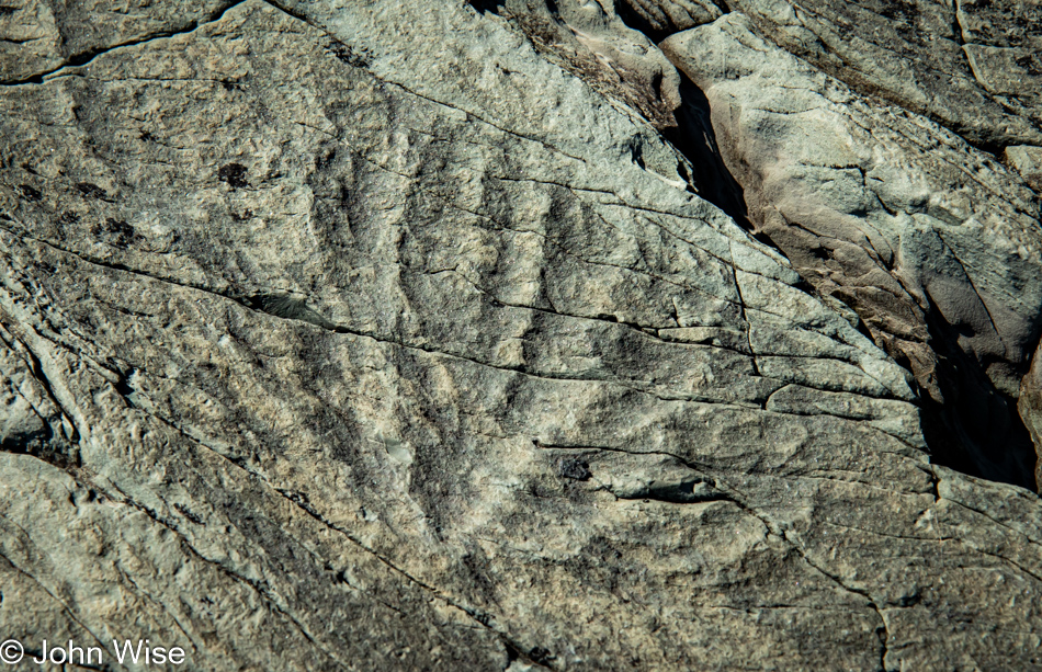
This was when and where words began to fail me. When Kara told us the names of these fossils, including their peculiar, not very memorable names, they had no touch points in my mind to connect with. We can only look at them and try to relate them to something else we’ve seen in nature, but that would be plants, certainly not animals. That this is likely a Bradgatia doesn’t say much, and without evolutionary ancestors who inherited some characteristics, what are we supposed to make of such things?
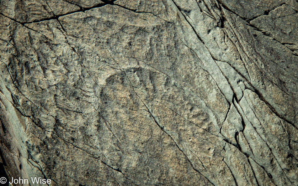
Maybe being in awe of such things is enough and is a lesson in humility about our limited abilities as the supposed intelligent humans we so desperately want to intimate. I say this because here’s an ancient early life form I cannot truly comprehend, but I’m typically delusional enough to believe that if I saw an alien, angel, or god, I’d find a meaningful way to communicate it. While it is true that a fossil is not an entity to be communicated with, I stumble trying to convey something relevant about an impression locked in stone. Thinking about this, if I were buried in ash from a volcanic eruption where I sit writing this, what would a future ancestor 500 million years from now understand about the impressions I left in the rocks?
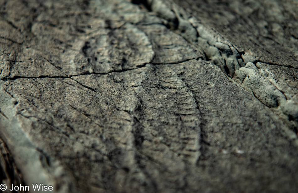
For everything that we can easily see, such as what appears to me to resemble the double helix of DNA, how many other things were of such small size or fragility of makeup that they remain unseen to untrained eyes?
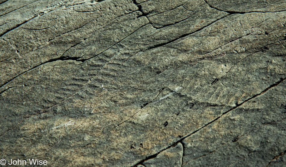
As far as I can determine, Mistaken Point is one of eight locations on our planet where Ediacaran age fossils have been found, but this spot on the southern end of the Avalon Peninsula jutting into the Atlantic Ocean is the best example of such fossils due to that volcanic eruption that buried them. Now, here we are today, about a dozen of us who, only between mid-May and mid-October, are allowed to walk on an ancient seabed to see the record of what lived here. It’s difficult to be here and not be overwhelmed by the magnitude of things.
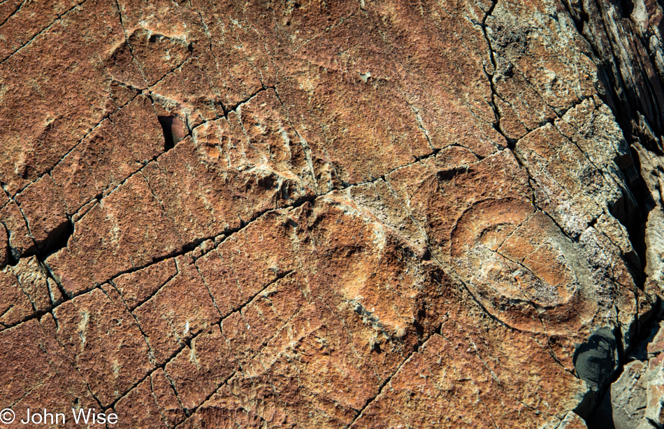
While the giant alien Charniodiscus dominates the photo, there are faint impressions of at least eight other fossils, or I’m suffering from the fossil version of pareidolia.
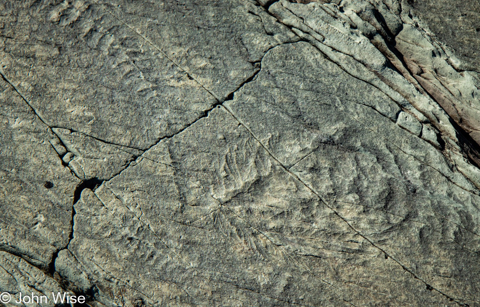
Like Mt. Vesuvius, which buried Pompeii nearly 2,000 years ago, everything on the seafloor that was vibrantly alive minutes before started to find itself buried under a rain of ash. Half a billion years later, I’m trying to wrap my head around this gargantuan leap in time while trying to decipher impressions that, in some instances, appear as if they were pressed into mud only recently. Nothing stops us from touching the fossils; we can walk on them because there is no way to avoid them. The only reason I’m not touching them and trying to avoid stepping on a single one is because of how rare they feel, and I don’t want to add to the inevitable erosion that is yet to come and has been happening for thousands of years already. To me, these are sacrosanct artworks that deserve our respect.
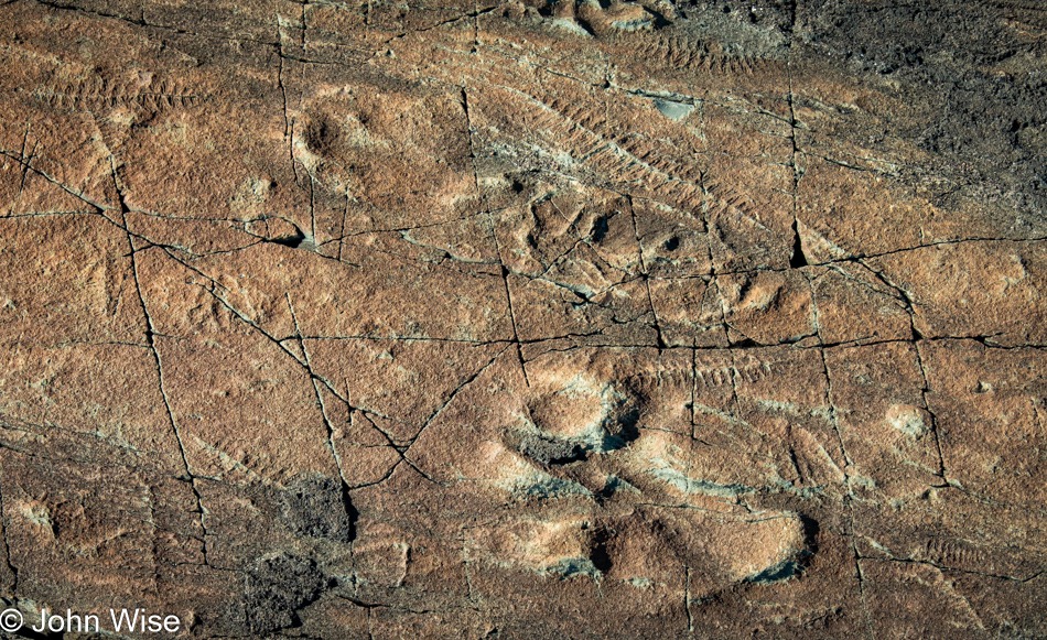
Pardon my heavy detour, but these experiences of walking on the Earth’s mantle at Tablelands on the otherside of the island, exploring ancient thrombolites at Flowers Cove, and now visiting these Ediacaran fossils that once inhabited the seafloor of the Iapetus Ocean mixed with my knowledge of the mind-boggling depth of glacial ice that buried all of this has me thinking even more about the bizarre sequence of events and the astonishing history that had to precede everything for me to have this experience. Then, thinking about history, glaciers, oceans, and our interpretation of fossils, I can’t help but consider that during the Glacial Maximum of the last ice age, approximately 26,500 to 19,000 years ago, sea levels were 390 to 425 feet (120 to 130 meters) below current levels. I can only imagine what we could explore if those sea levels were still so low, for example, the settlements that might have existed on the Bering Land Bridge between Russia and North America or the Doggerland Land Bridge between the U.K. and Europe. How did the flooding of those formerly habitable areas as glaciers were retreating contribute to the many flood myths within humanity? Anyway, this tangent has gone way off track, though it’s hard to contain my imagination regarding the effects of shifting sands, seas, and land masses, along with cultural and knowledge awareness to inform and enlighten our perspective of the world.
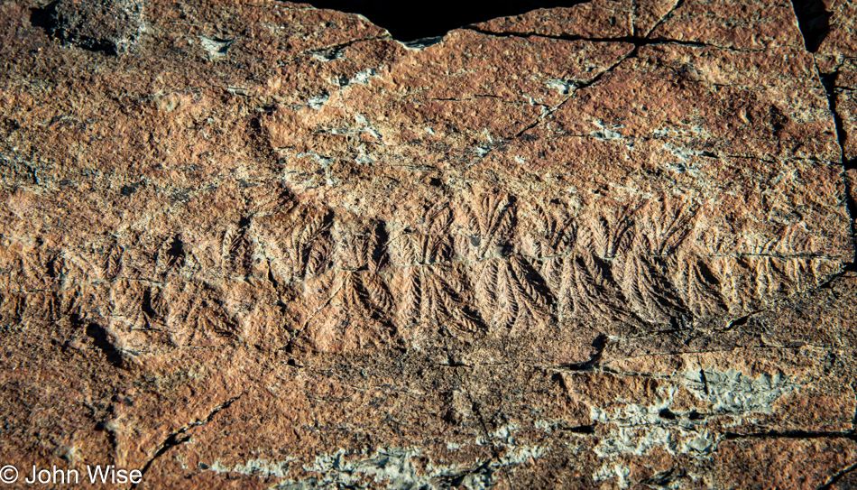
This extinct organism, Fractofusus, was one of the earliest known animals. As I said moments ago, some of the fossils look like they fell into the mud only recently; this is one of them. Reading more about it, I learned that this creature represents an enigma to science. In some way, it is an alien because its body type is unlike any other plant or animal we’ve ever discovered. Most animals, such as humans, have what is known as bilateral symmetry, while things like starfish have radial symmetry, and jellyfish have spherical symmetry. Fractofusus doesn’t exhibit symmetry, making it nearly impossible to understand its body plan. Maybe Mistaken Point should be renamed Mystery Point.
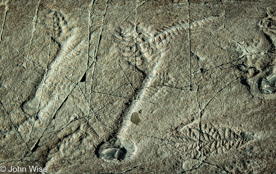
The round part of these Charniodiscus creatures is believed to have been a holdfast, that part of their body that anchored them to the seafloor.
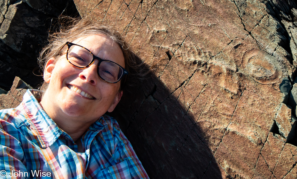
Again, here we were without a banana to compare the relative size of the things we were looking at. Graciously, Caroline acted as a stand-in for one of these yellow-skinned tropical fruits. She’s generous in that way.
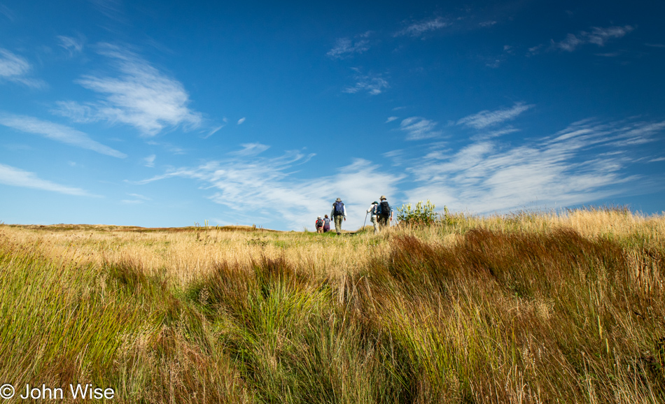
I am so happy that I ran out of shareable images of fossils and that we are now on our way out of the protected ecological reserve.
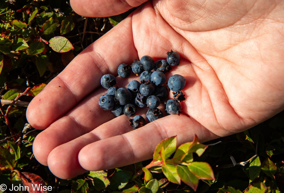
With that heavy lifting finished, it’s time for a break and picking more berries. When I mentioned the partridgeberries, Swedish bunchberries, and crowberries, I intentionally left out the blueberries because I knew this photo was way down here and that I’d be writing something or other about them. Now that I’m running into writer’s fatigue, I want to gloss over anything I might have wanted to say other than that they were yummy. [A perfect dessert after we had finished our sandwiches from the Irish Loop Coffee House – Caroline]
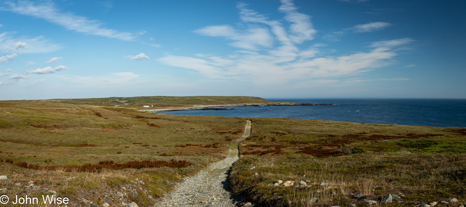
Trails, paths, and roads crisscross our planet, going in every direction to take us to all corners of our earth, but for some of us, there’s a yearning to know what exists between those map points. This type of route finding is known as interstitial or free-range exploration, and while neither Caroline nor I have the requisite skills for that type of adventure, it is the driving force of that desire that brings us to places such as this.
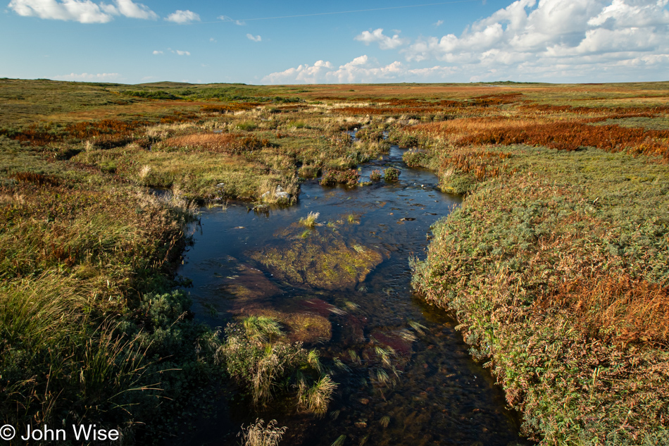
In Nova Scotia, at the Cape Breton Highlands National Park and again at Terra Nova National Park here in Newfoundland, we visited fens that support sphagnum moss. A fen is like a bog but with a steady water source. A different type of moss also exists in the barrens; it is called heath moss or woolly fringe moss and is part of the blanket and plateau bogs ecosystem. When you look at satellite images of this area, or you are flying over southeast Labrador towards the coastal region, there’s a good chance that many of the ponds being seen are from the plateau bogs that dot the landscape. Blanket bogs form over hills and valleys, while plateau bogs are more common in coastal areas.
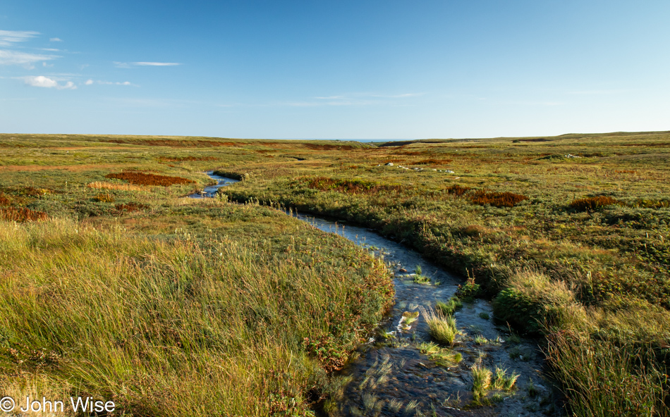
I have what’s likely an impossible dream: maybe if I learn more about the planet, I might gather a minor understanding of how it all fits together and is interconnected.
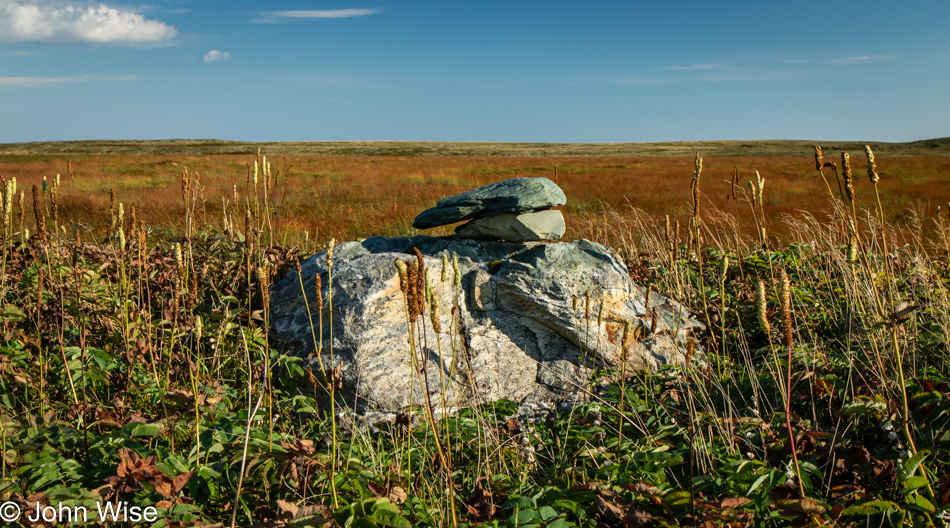
In that sense, my blog posts and research are similar to this cairn. While passing us on the unpaved section of the drive back to the visitor center, our guides explained that it was placed here by the early inhabitants as a sign that this was a good area to find bakeapple, a.k.a. cloudberries. Blog posts are my cairns to remind Caroline and me of what was where and what we discovered and shared.
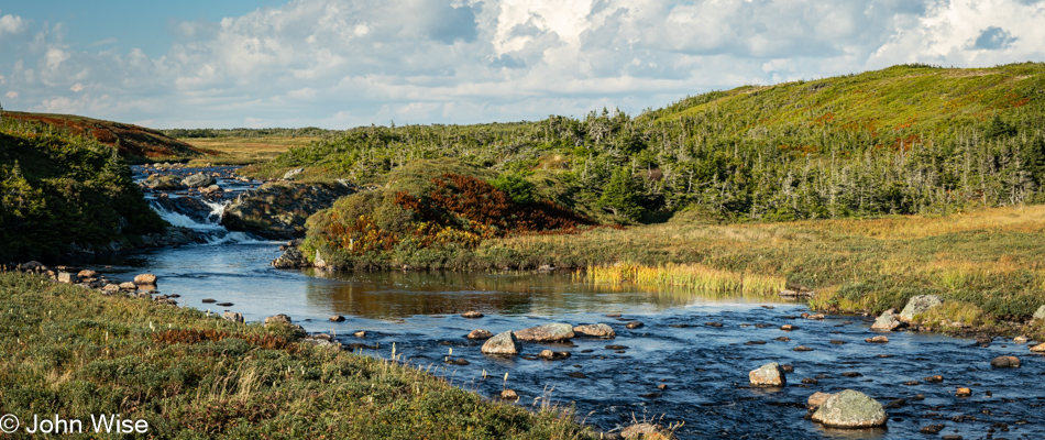
On our drive into the reserve earlier, neither of us spotted this cascade spilling out of the landscape, which is indicative of that common human trait of being overwhelmed by the totality of what is being absorbed to miss many of the obvious details only seen at second glance.
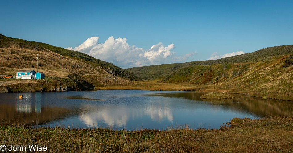
Yep, we missed this reflective pond, too. Maybe we had been too focused on the car ahead or were shocked by the sky clearing for our arrival at Mistaken Point.
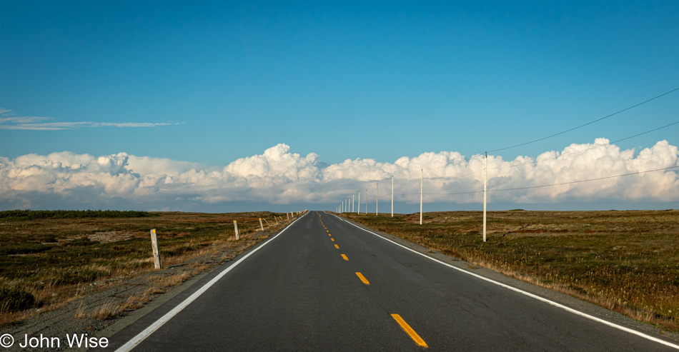
This was our view north after leaving the south coast. It appears we are heading back into the clouds.
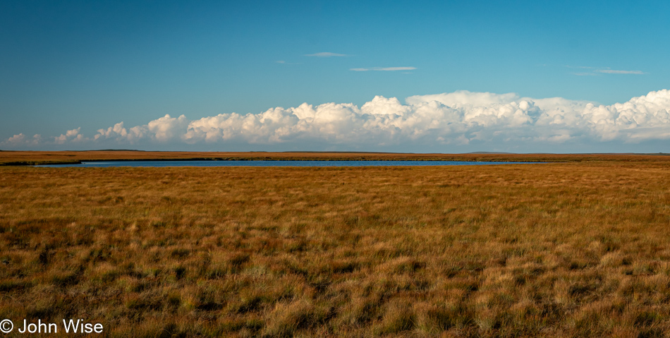
We are absolutely enchanted by this landscape that, for vast stretches, doesn’t appear to have anything growing on it taller than ankle height.
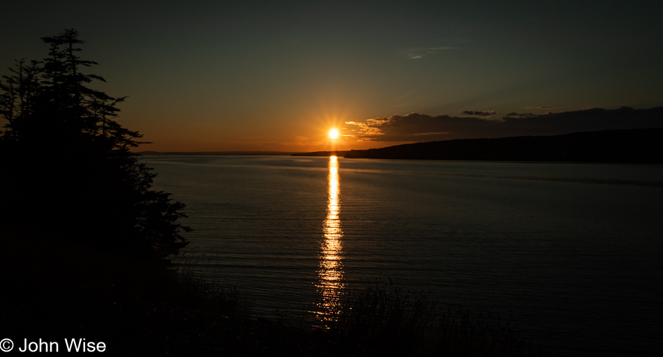
It must have been shortly before 7:00 when we reached New Bridge and this view of the setting sun. After hitting some stretches of foggy road but no rain, we were close to pulling into St. John’s when we noticed that we had reservations at 8:00 for dinner at a place around the corner from our hotel. I have no recollection of what we dined on. It wouldn’t matter anyway; how can any of that compare to what our senses feasted on all day long?
This was EPIC and I think you should re-name your Blog “Pardon my heavy detour” because you are the best “heavy detour” essayist I know. (and heavy is a metaphor for deep philosophy, so the double entendre is great).
This made me think so much about history and what we do and don’t leave behind…