
For a change of pace in how I present the iris growing here at the house we are staying at, I give you sunrise irises. Due to a number of issues, one was staying up late last night, plus various distractions in the morning, we were getting a late start.
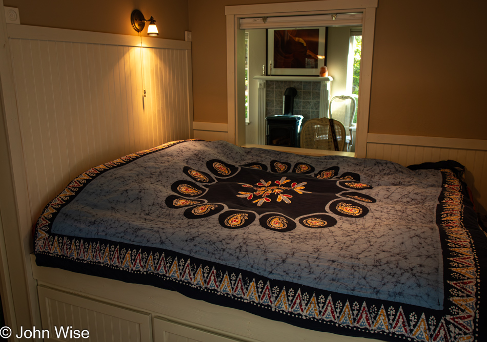
Something like a bed we are sleeping in might be mundane to the visitor of this blog, but for us, it is a reminder of a cozy little space in this tiny home where the bed takes up the entire space of the nook it’s been squeezed into.
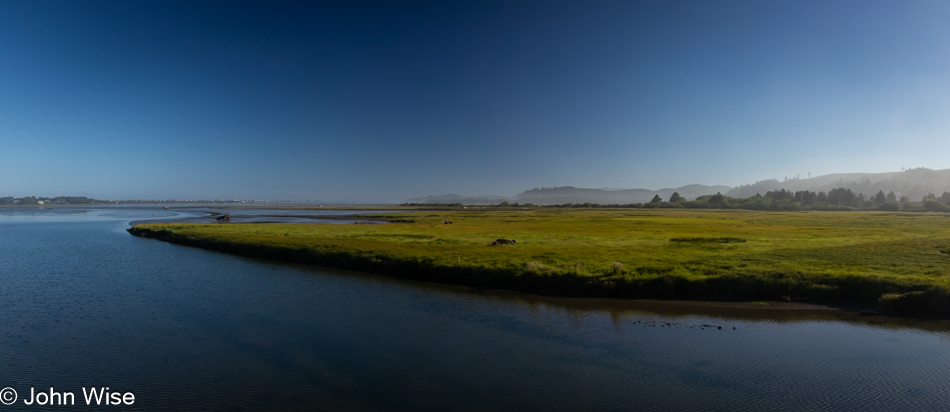
As I shared above, we had a late start, and by the time we were finally on the road, we opted to skip the walk and visit the Otis Cafe instead. This was the place we were supposed to check out on Saturday, but too many people out front waiting for a table was enough for us to postpone a visit to a weekday, and today seemed as good as any. The little red cafe is certainly worth the visit, but be forewarned, the portions are enormous. The photo is of the Millport Slough looking west, taken on our way back to the house, and it should have been the other direction, but on our way to Otis, I, in poor judgment, thought the absolutely still, reflective waters that were mirroring their surroundings would still be doing the same after breakfast. I was wrong.
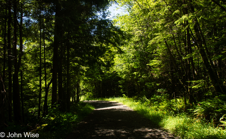
Having skipped our traditional morning walk, we decided to hike into the woods just east of us at lunchtime. Google Maps showed us a viable trail that would loop around to Highway 101, and then we’d walk along the street back to the house. At first, the logging road was well-maintained, and it was obvious where we were supposed to follow.
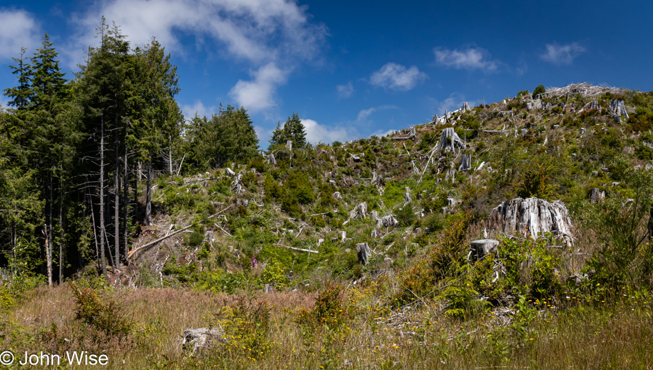
I’d like to say that everything was good, but just a short way up the trail, there was no more forest obscuring the lack of trees that had been so classically clear-cut, our favorite method of blighting the land with a mark of hate.
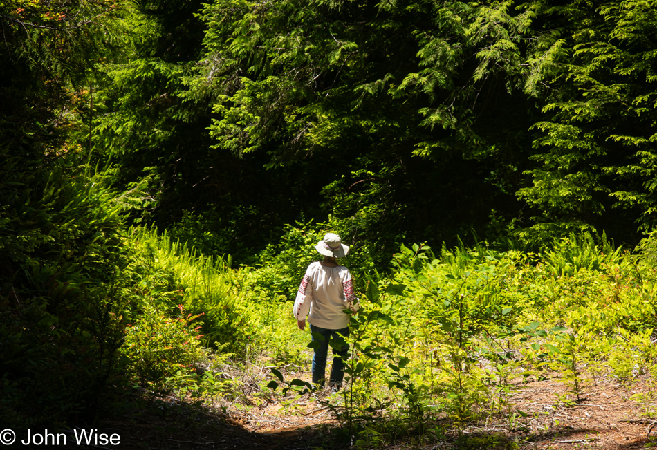
And then, our map had us veering off the gravel road. Seriously, this is where Google is directing us? Here, look, what do you think?
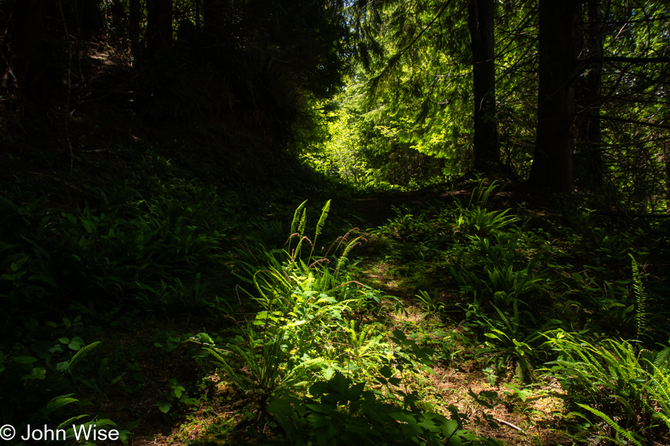
While this isn’t a thicket, and maybe there’s evidence that this was once part of an old logging trail, too, it’s feeling a bit sketchy, albeit incredibly beautiful.
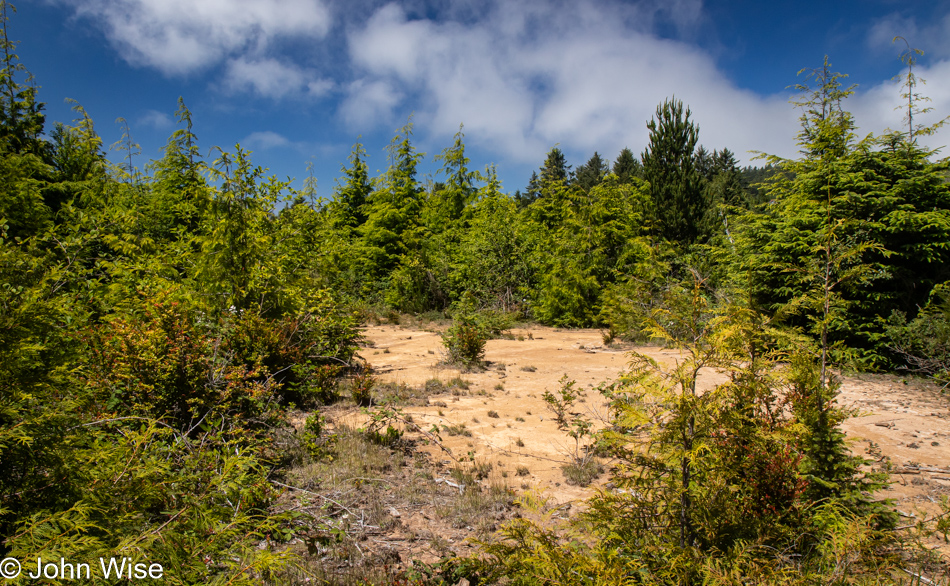
While we ultimately got some serious active minutes, and I crossed the 10,000-step mark, we got to a point where we would have needed to bushwhack into the thicket. Mind you, according to GPS, we were very close to our neighborhood, and we could hear nearby sounds of kids laughing and were sure we’d ultimately reach them, but our better senses suggested that bushwhacking in an Oregon forest might lead us to be the subjects of one of those stories of people who went out for a hike and were never heard from again. So, we retraced our steps and were able to turn our brief 30-minute lunchtime walk into a full-blown 70-minute adventure that almost risked calamity. Good thing I’m so level-headed and didn’t panic.
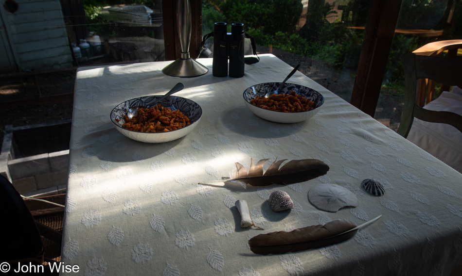
Extending our memories of the mundane with the place on the veranda where we share meals. Over the last two weeks, the two feathers, a seal bone, the urchin test, a sand dollar, and the limpet shell sit at the end of the table while I sit on the left and Caroline on the right. While these things may seem insignificant to many when we do return to these experiences in the years to come, they all work to reinforce the sense that we’ve had more than our fair share of luxuries we were so fortunate to share. Tonight’s walk will be in the form of a drive.
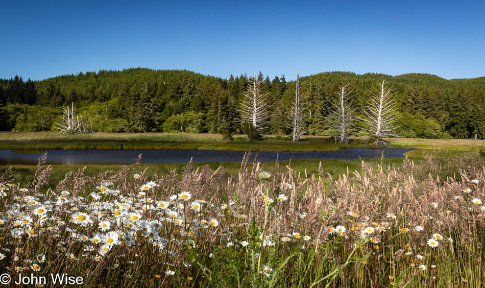
Up the road in Kernville, which is right next to the Millport Slough on the Siletz River, you’ll find Oregon Route 229, also known as the Siletz Highway. The northern end of this loop road turns out to be a very narrow, twisting road with more than a few beautiful campgrounds, RV parks, and county parks with boat put-ins; I tend to also think it’s the fire escape route should the main road in and out of the town of Siletz and its adjacent Siletz Reservation be under threat. Our focus is likely too fixated on the coast, as this inland area is gorgeous.
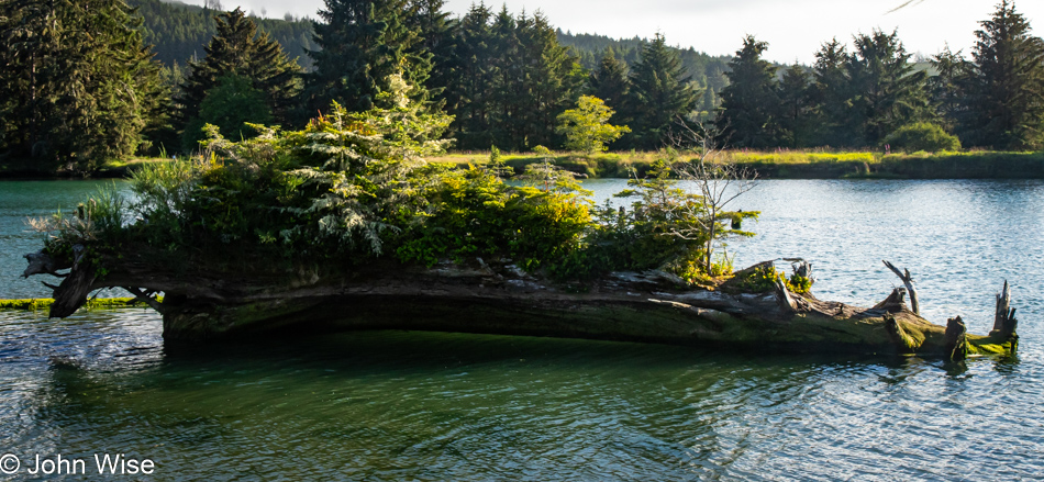
Driving up the river, the speed limit on this road is 55 mph (almost 90km/h), and people mean to maintain at least that speed. On the other hand, I’m having trouble getting over 35 mph because everything is so distracting. Looking out the left side of the car at hillsides chock full of blossoming berry patches, we nearly missed this fallen tree that appeared artistically created as an oversized terrarium.
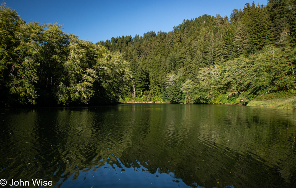
This is Ichwhit (Bear) Park, and by now, it is obviously apparent why the Siletz Crabbing & Kayak Rentals company is operating at the intersections of Highway 101 and 229.
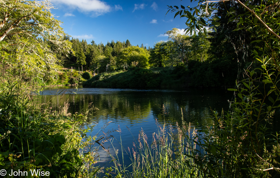
Here at Strome County Park, we met a couple enjoying some music and beers at the river’s edge who shared with us to be on the lookout for a herd of elk and some unique cows you don’t see every day.
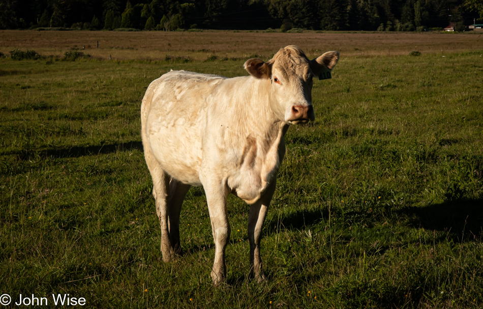
A few miles down the road, we were passing the Charolais Ranch, home of Charolais cattle. This breed, while popular in France, is relatively unknown here in the States, where everyone focuses on Angus, Hereford, and, of course, the ubiquitous Holsteins for milk. We did see a small herd of maybe seven or eight elk in the distance, but they were a good ways away.
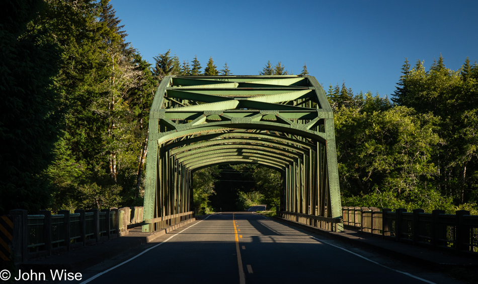
We are suckers for bridges, and there are two of these on the Siletz Highway; the first was here at Ojalla Park, just north of the town of Siletz. After passing through town, the road widened, and we picked up speed, trying to get back to the house by 8:30. Caroline wanted to finish editing Saturday’s post, and I was still trying to catch up with writing. Then there was her knitting and me needing to process these photos from the end of the day, all of this before we jumped into the hot tub prior to going to bed in the cozy corner.