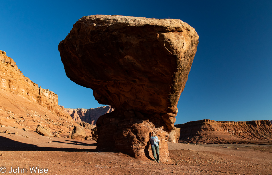
This is not where our day began, as a breakfast of rocks wouldn’t have been on our menu, but this is where today’s adventure got underway. We are on the Honey Moon Trail on our way to Lees Ferry, not that we are on our honeymoon, but then again, I believe Caroline would chime in with enthusiastic agreement; we seem to be on a forever honeymoon that’s never-ending. Not neverending like Die Unendliche Geschichte (The NeverEnding Story by Michael Ende) but more like we just keep celebrating almost every day as though we got married 10 minutes ago. Well then, if we are so in love and happy, why is Caroline standing alone under that massive, precariously balanced boulder? One of two answers comes to mind: I don’t have 30-foot-long arms, or I don’t have a tripod with me; you choose the answer that works for you.
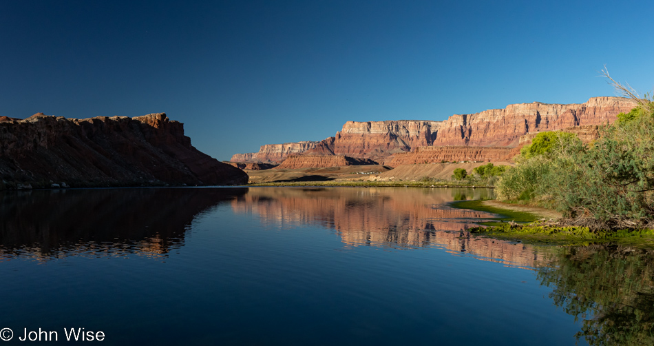
This is the Lees Ferry area and the site of not only a bunch of history but also the beginning of the Grand Canyon National Park. As for the history, this is where the Honey Moon Trail comes in, which I think should be the Honeymoon Trail, but I’m not one to argue the naming of roads. I can share that the reason behind the name has to do with Mormons and their wagon roads reaching the Colorado River here on their way to St. George, Utah, to get their marriages sealed in the Temple. Lees Ferry is named such because it was John Doyle Lee who operated the ferry here in order for the newlyweds to reach St. George. Caroline and my history here is most notably recognized by a book I wrote titled Stay In The Magic: A Voyage Into The Beauty Of The Grand Canyon, which describes how we embarked on our first whitewater adventure from these very shores a dozen years ago.
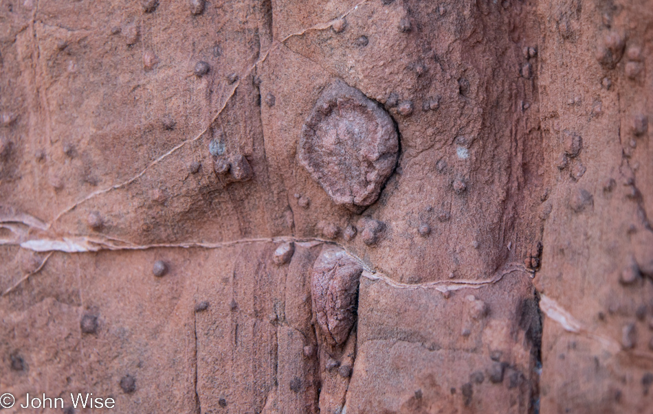
It’s only natural that fossils should easily be seen in the area since we are in some small way descended in the bowels of the earth, in an open-air version of that. Now approaching my 60th year of life, I wonder how much longer it will be until the jokes begin that I’m the living fossil in the places I’ll be finding myself on this continuing journey.
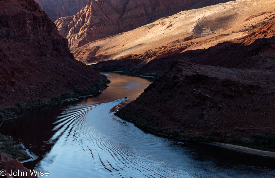
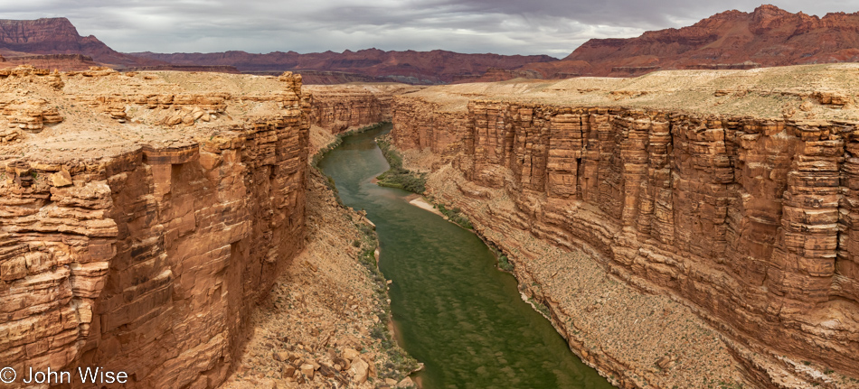
On one hand, this view is new to us; on the other hand, we’ve traveled down those calm waters of the Colorado River that flow 15 miles from the Glen Canyon Dam here to Lees Ferry. Then, downstream from Lees Ferry, you’ll encounter countless roaring rapids punctuating miles of tranquil river heading to the sea, actually to farms, pools, golf courses, and some drinking water outlets, as almost nothing reaches the sea anymore.
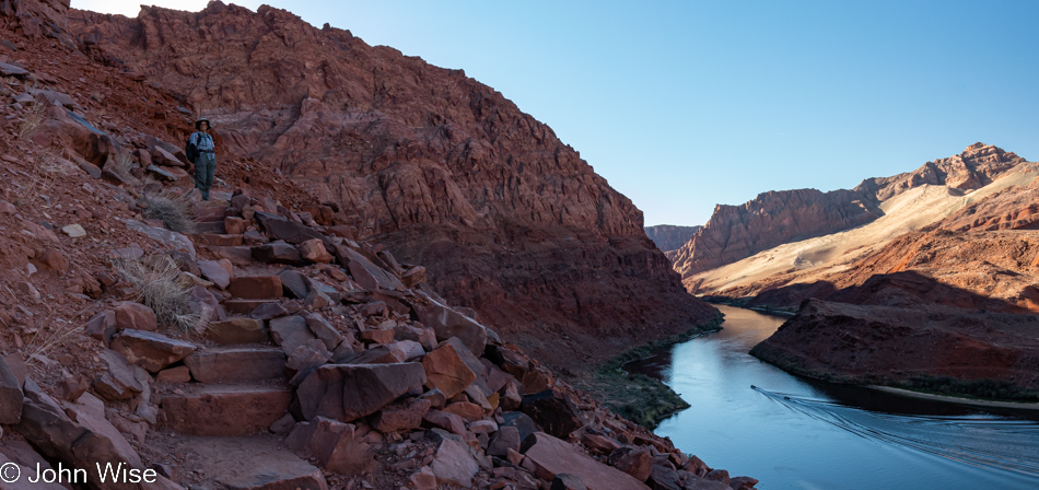
The first leg of our hiking today was the Sampson Trail Lookout, and I intentionally put that in the past tense as we didn’t get very far before a narrow part of the trail with a precarious dropoff stopped me in my tracks; such is life living with acrophobia.
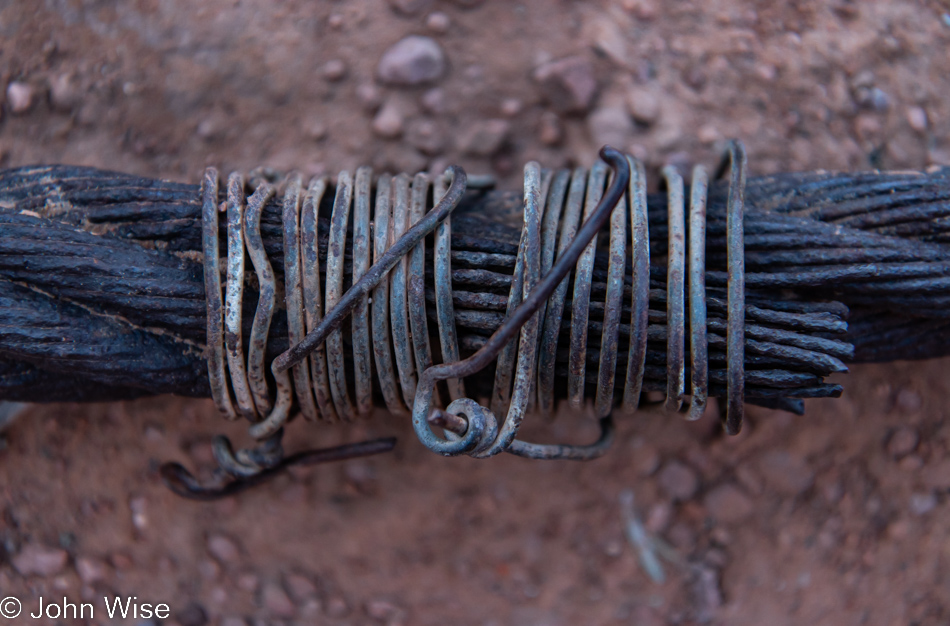
Leaving the Sampson Trail and rejoining the Colorado River via Lees Ferry Trail, which runs along the shoreline, we spotted an old section of cable used for guiding ferries across the river back in the day.
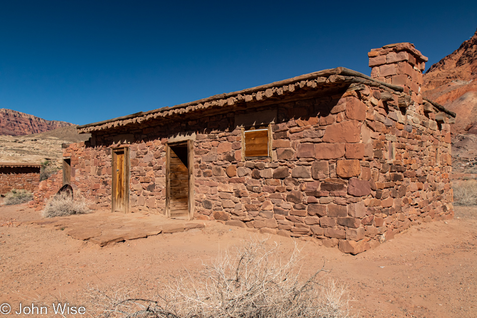
Lees Ferry Fort is one of the few remaining buildings from those early days of the crossing; this one was built in the 1870s.
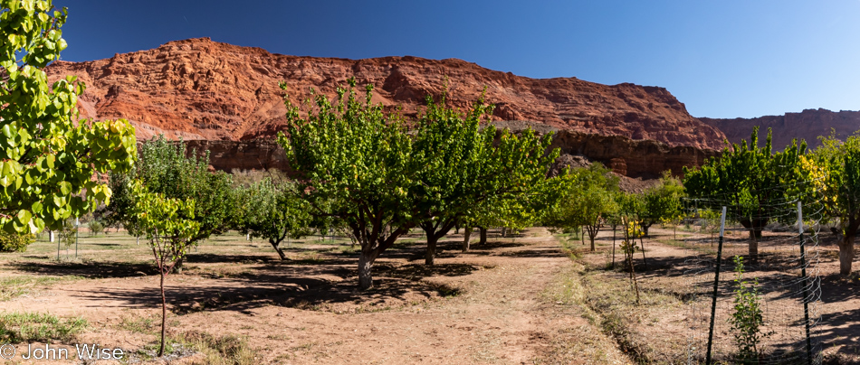
The Lonely Dell Ranch orchard was a part of the Lee family homestead. Seeing our hike up the Sampson Trail was cut short, we decided we’d walk up the Paria Canyon Trail awhile. This ranch, which included numerous buildings also for people working the land, sustained the ferry operators starting with the Lees and subsequent families. The many varieties of fruit trees that remain from this big farm are taken care of by Park Service employees and the fruit is freely available for pickers when in season.
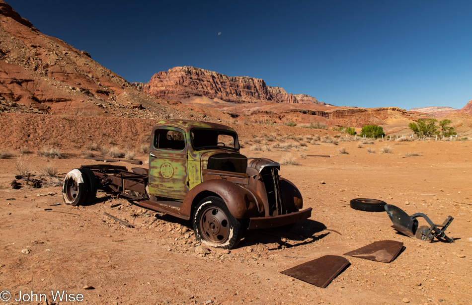
Other than this being identified by others as a 1930s Chevrolet truck, I can’t share anything else about it. In the background on the right is the old cemetery that saw too many children from the Johnson family who took over operations after the law caught up with John Doyle Lee. So here’s the rest of the story: Mr. Lee was actually hiding out at the ferry, trying to have a normal life, but someone needed to be the fall guy for the Mountain Meadows Massacre in which at least 120 members of the Baker–Fancher emigrant wagon train out of Arkansas where shot by adherents of the LDS church. The mass killing by the Nauvoo Legion happened due to hysteria among church leaders, likely including Brigham Young, though that connection was never proven.
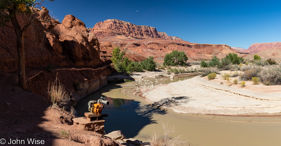
This bend in the Paria River was also the site of a pumping station that watered the ranch downriver after the failure of a few dams that had been built previously for that purpose. Our trail hugs the disappearing wall on the left and while I thought this might be the end of our walk upriver, I found the wherewithal to not give up too early.
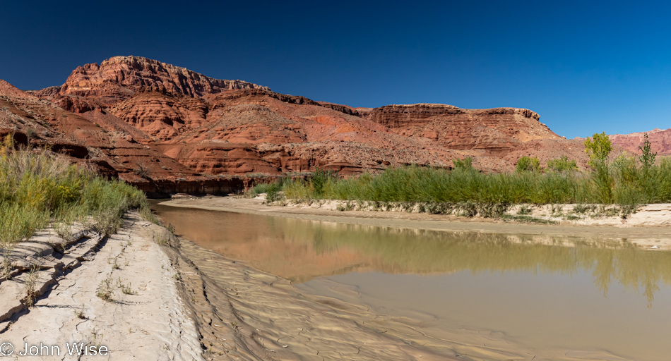
There was a time we’d considered hiking the length of Paria Canyon, a multi-day trek that covers about 38 miles, but after getting to a narrow cliff shelf we would have had to traverse up in the curve on the left, I can only stand in awe, and simultaneous horror that worse could lay ahead. Of course, we could have also taken our chances and crossed over the river that, in places, didn’t look all that deep, but we weren’t prepared for wet feet or yanking ourselves out of knee-deep mud, so this is about as far as we got on this hike.
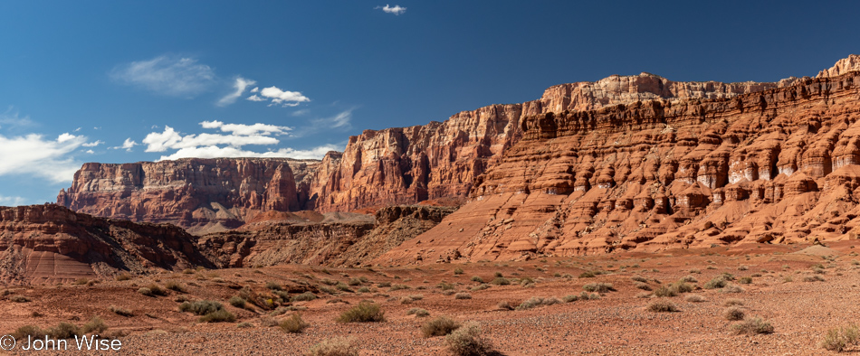
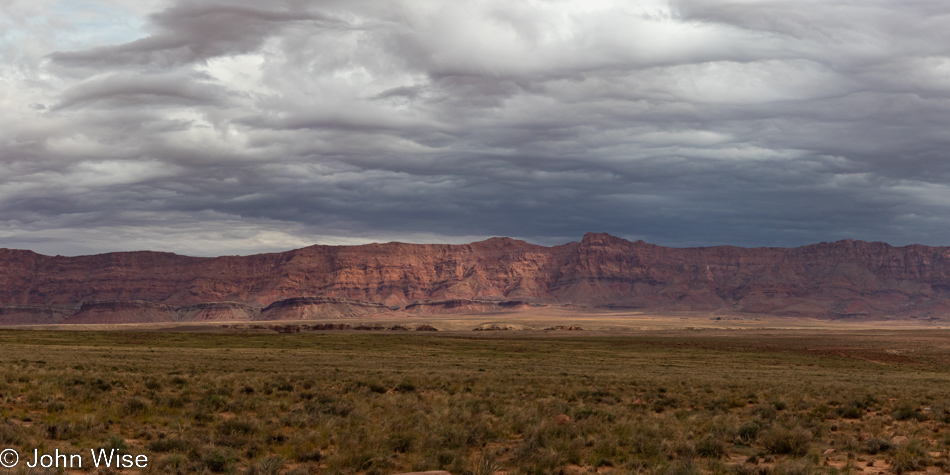
Nothing left to do here now but get to our next destination, which will require a long lens for the camera and our binoculars, except I won’t divulge that activity quite yet. I will share that it, too, is situated in Vermilion Cliffs National Monument, which is what you are looking at here.
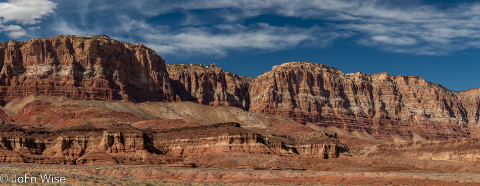
And this? More Vermilion Cliffs from about the same spot as the previous photo, but instead of looking southwest, I’m looking northwest. While it might be difficult to tease out of this lower resolution web-friendly image, there’s a lower bit of mesa on the right of the photo at the foot of the massive towering cliffs looming over it; look closely, and you might see a diagonal line where you can see lighter and darker soil. At that spot is a narrow single-lane dirt road that has been carved leading up to the mesa, and from what I can see on Google Earth is that there are at least five dwellings up there. You could give me one of the properties, and the only way I’d get home is to walk up the road, and it’s undrivable as far as I’m concerned.
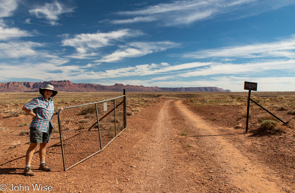
Oh, you want to turn around and stop there? Okay, we can do that. Caroline is holding the gate open as we are about to visit the Soap Creek Trail that heads right down to the Colorado River. That spot was the first place where we camped back in 2010 when we found ourselves on that whitewater trip I frequently reference.
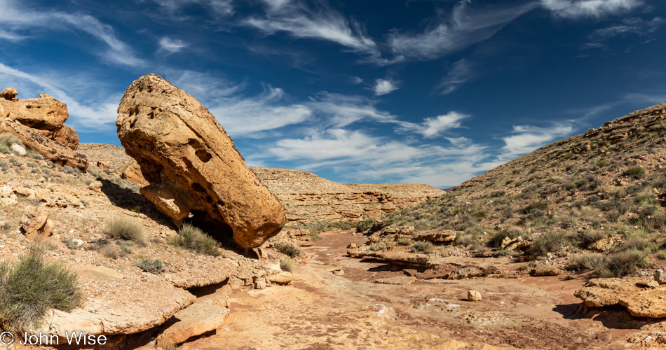
This looks promising as we head right down the dry wash; it’s a bit sandy in places, but no mud.
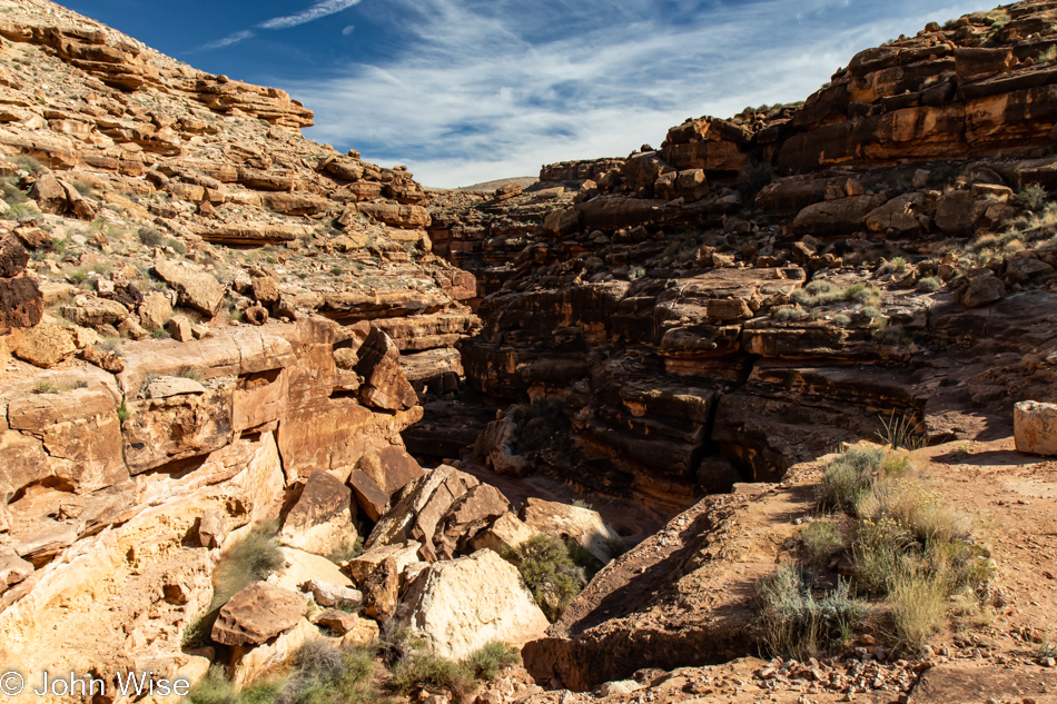
At about one mile in or about 3 miles from the river, we reach what at times is obviously a waterfall, but today could only act as a humanfall if we dared navigate our way down the non-existent trail. Later, we learned that there are places where hikers would benefit from having rappelling ropes or webbing with them to get in and out of the trickier parts of the trail, though others report that they found the canyon easily navigable and found ways down the dry waterfalls and over heavy boulder fields. We took off on this hike in part because Alltrails ranks it as moderate, like the South Kaibab Trail to Cedar Ridge in the Grand Canyon that we hiked with my 74-year-old (at the time) mother-in-law. This type of hike should be rated as hard; maybe with a guide, it would have been easier, but like Michelle Dobyne once said, “Not Today….and we bounced out.”
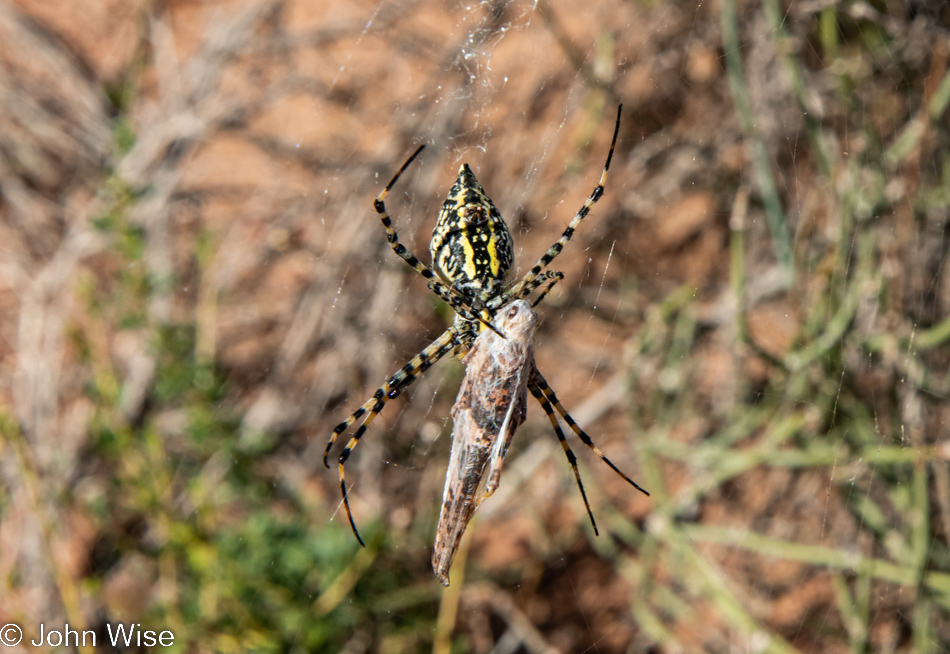
There we were bouncing out when Mrs. Spider spoke up and said, “Would you two enjoy a crispy-wrapped grasshopper on your travels?” Of course, we are down with your brand of websushi and so we gobbled down our gift and found ourselves 41% less disappointed that we had to turn around and not reach the Colorado River at Soap Creek Canyon.
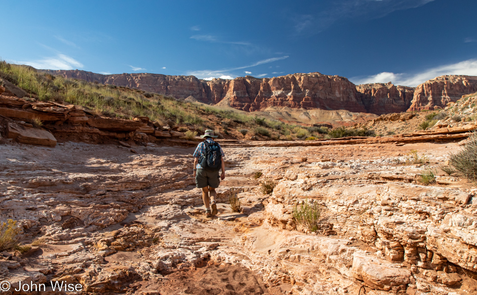
Do not think for a moment that we were really disappointed, nor believe that we accepted that grasshopper offering. If you just look at the environment in which we added two more miles to our accumulating miles of trails hiked, you can easily deduce that we were as happy as clams.
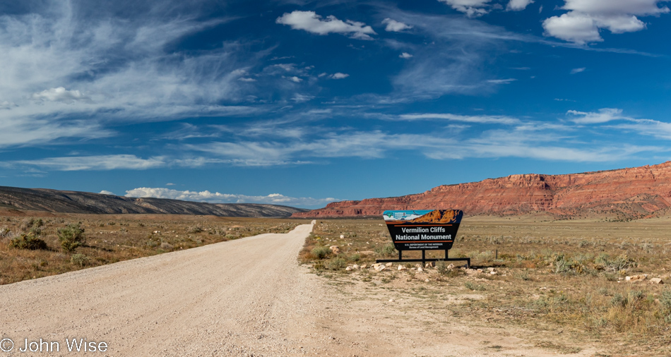
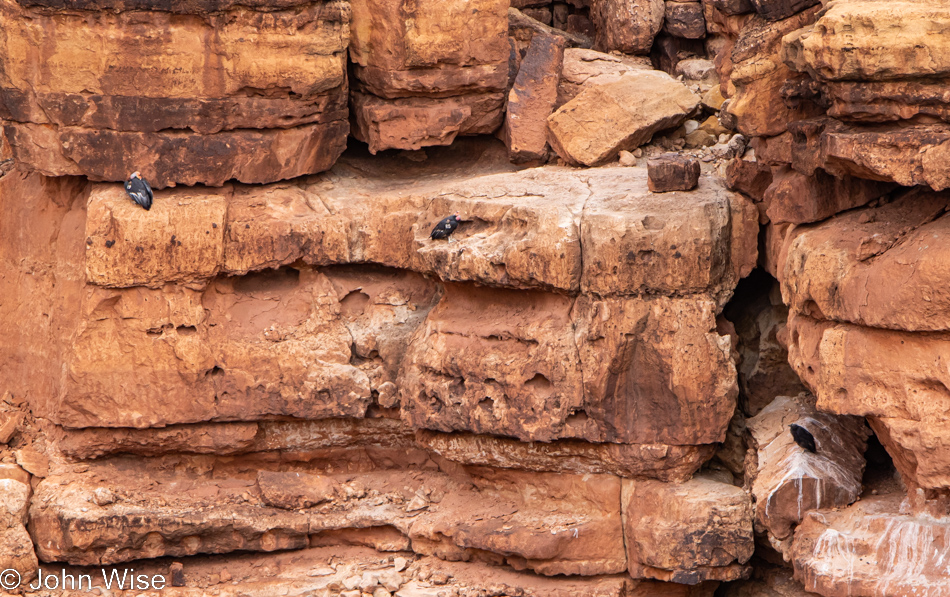
Way up this road near Utah is the Wave, a world-famous geological feature that’s a part of the Coyote Buttes. Well before that, near the end of the visible road in this photo, is a small parking lot, a toilet, a covered picnic table, a really poor viewing scope, and all of that is there because over on the cliffs to the right are the homes of incredibly rare condors. A few weeks ago, as we were crossing the Navajo Bridge, we learned about a condor release that was happening the next day, but our plans had us up at the Great Basin National Park. So, knowing that there were five new condors that had been recently released here, we were sure to bring the binoculars and my long lens with the hope we might catch sight of them.
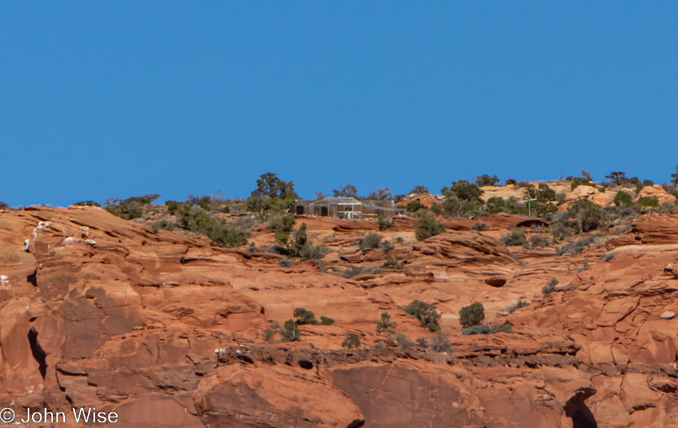
Well, if it isn’t our luckiest day ever? We encountered three people from the Peregrine Fund representing the Condor Cliffs program set up with chairs and scopes. We figured they were monitoring the birds that had been released back on September 24th. Wrong, they were here not only monitoring them but also looking at the clifftop release pen holding more condors for an upcoming unannounced release. With the naked eye, there was nothing to see, so the lady volunteer from Montana invited us to peer through her scope, and BLAM, there was the cage and a bunch of condors.
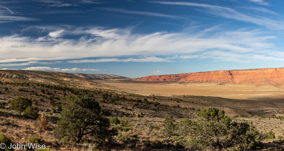
Out there on the eastern cliffs are those condors, and nearby, hidden in a blind, is at least one biologist camping out in 4-day shifts to closely monitor the birds in conjunction with the folks we met next to the road. The cabin-like structure behind the release pen is a mobile lab in which they can examine birds, repair radio trackers, and do other condor-related stuff to support the birds’ adaptation to living in the wild.
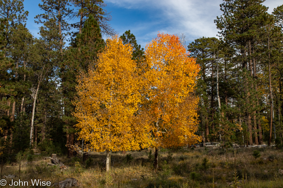
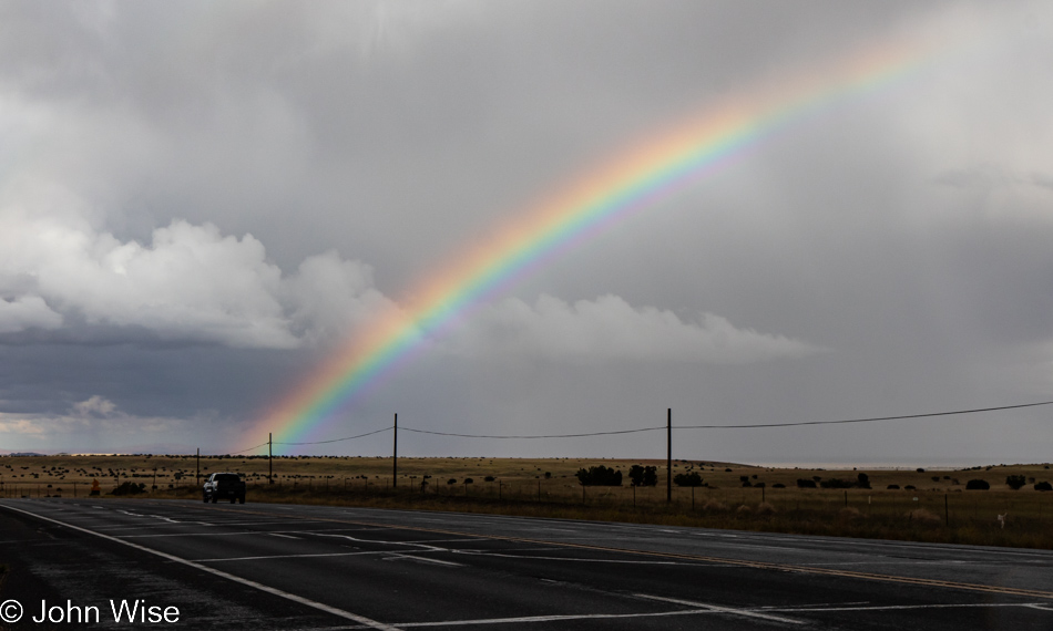
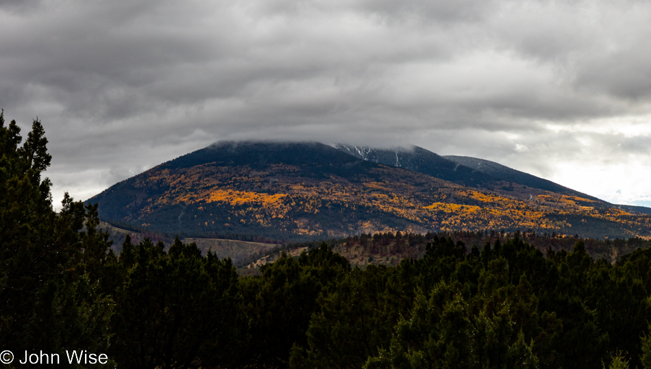
While down in Phoenix, we’ve still been flirting with temperatures close to 100 degrees, it’s obvious up here that fall is in full force. I probably shot more than a dozen images of yellow, orange, and reddish aspen, but contrast and a wildfire-scarred landscape at other locations made it difficult to snag a decent photo. Combine the desire to photograph the vibrancy with the hope we’d reach the north rim of the Grand Canyon, and I probably didn’t give my effort enough time to find the right scene. As it turned out, we started running into heavy cloud cover before we ever reached even the park entrance.
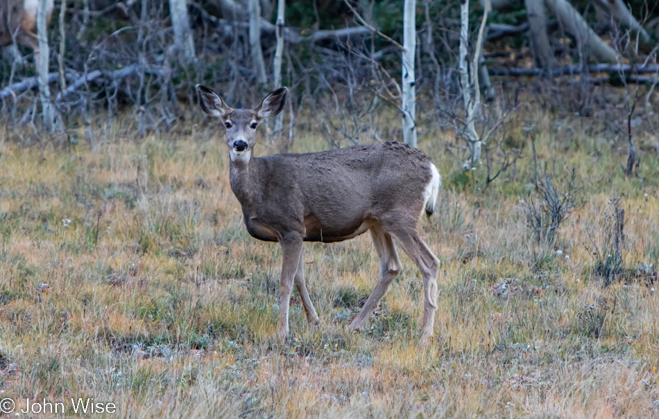
Oh, deer, I almost forgot to share the stats for today. At the time of seeing this dear deer, Caroline and I already exchanged verbal expressions of love about 114 times which is kind of weak for us because it works out to just over five times per hour per person. This rather pathetic statistic of once per 11 and 1/2 minutes doesn’t reflect favorably, but please try to understand that we’ve been distracted by the multitude of sights and sounds that captured our attention, effectively leading to us nearly ignoring each other. Hug stats were also off as our hug-o-meters registered less than one per hour and, if truth be known, it was closer to a hug per two hours. If all that wasn’t bad enough, the snuggle factor as measured during our waking moments today would appear sad and tragic due to the excitement of getting out under the rising sun and overwhelming the obligatory routine of indulgent snugglage. Come Monday, we’ll be working hard to repair all that.
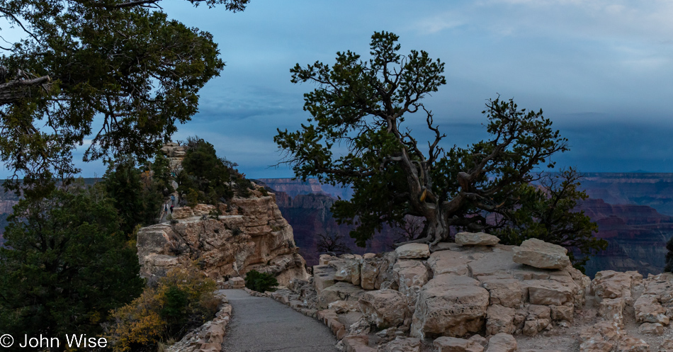
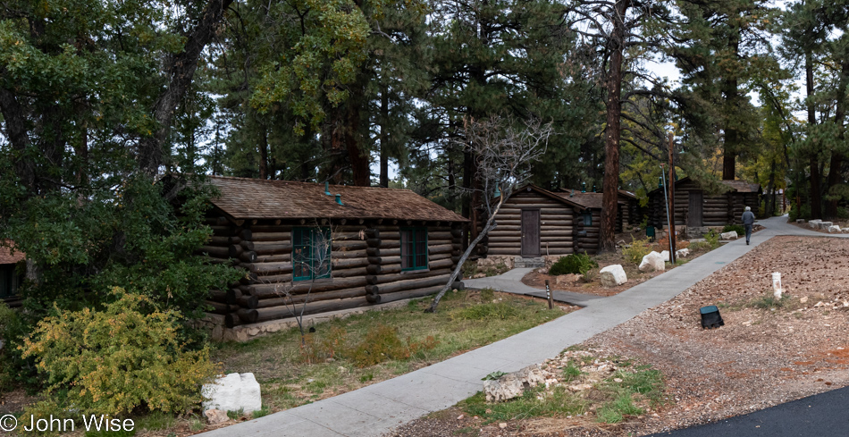
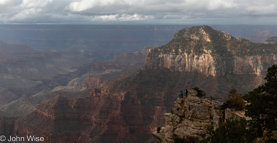
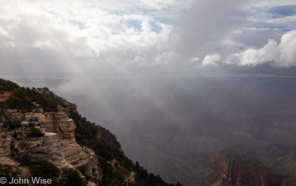
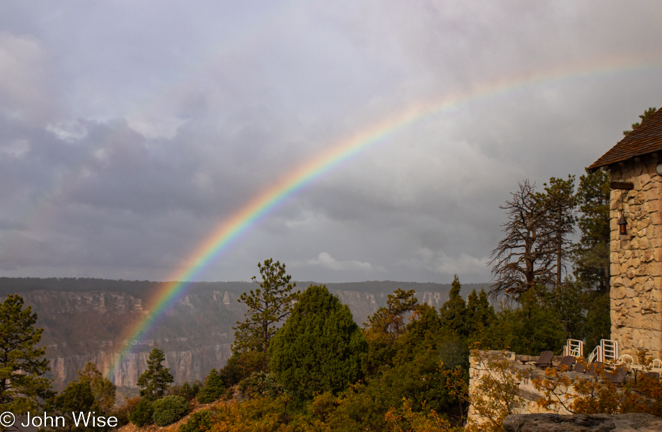
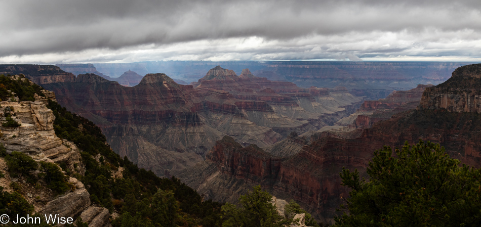
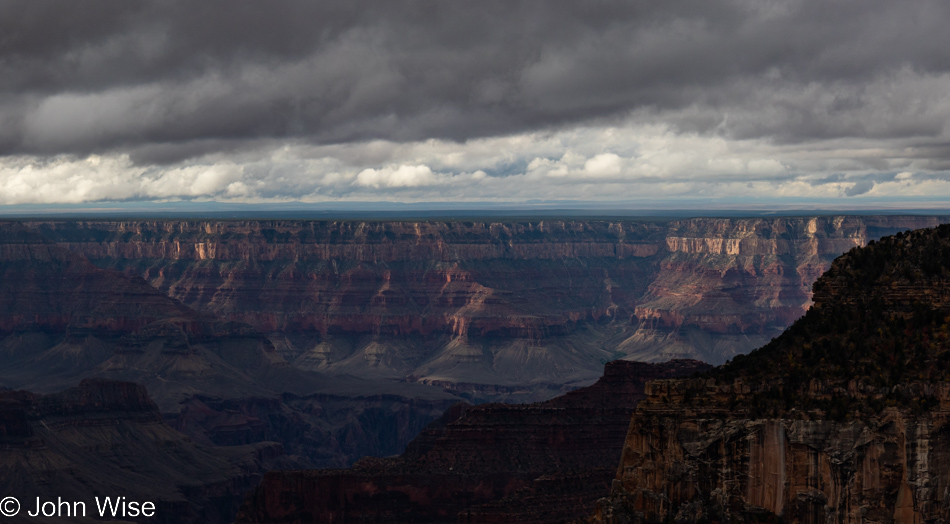
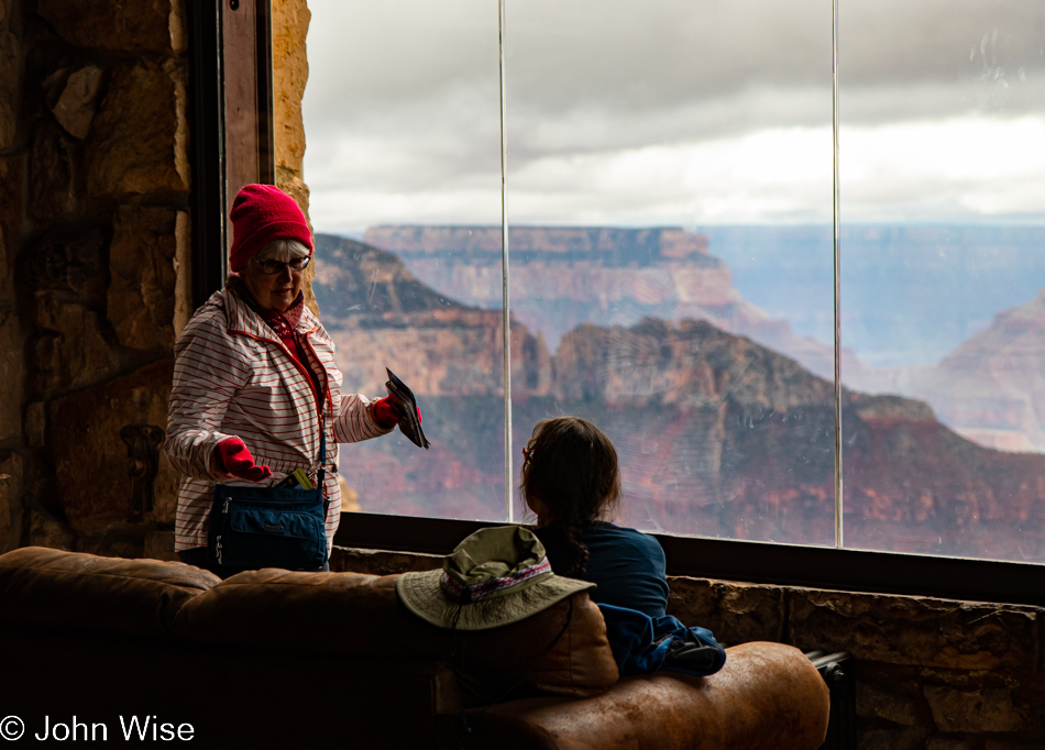
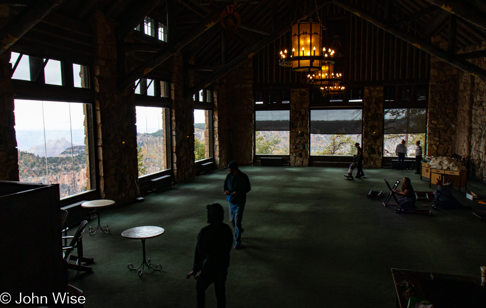
While there is no sunset illuminating the sky with vibrant oranges, reds, and purples at the North Rim of the Grand Canyon, at least there’s no rain. There are also no dining options as the restaurant is booked solid, and the saloon is out of food, as is the deli, aside from some macaroni salad and potato chips. Today is the last full day of business on this side of the canyon before things shut down until next year. Apparently, Aramark has been working hard to ruin the experience of visitors who spend $185 a night minimum to be here by not only not having a place for us to eat, but they also didn’t have staff to make beds and simply put our bedding, neatly folded at least, on the beds for us to make them ourselves. Of course, the executive staff could easily blame local management and staff (or rather, lack of staff), but anyone with half a brain should easily surmise that the conditions that affect these kinds of situations are budgetary in nature and that is dictated by a corporate office, not the workers in the field. As a matter of fact, the staff we dealt with have been tremendous and as accommodating as they could be, especially Anna at the deli, who found me a bowl of chili that allowed me to take my meds on a full stomach like I’m supposed to.
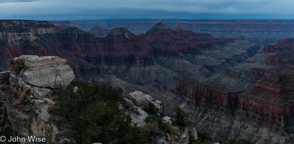
Fortunately, the Grand Canyon cannot disappoint nor can the weather conditions, as whatever the situation, we are being offered yet another unique opportunity to view this spectacle in a way that seems new to these eyes that have gazed into this abyss countless times by now.
