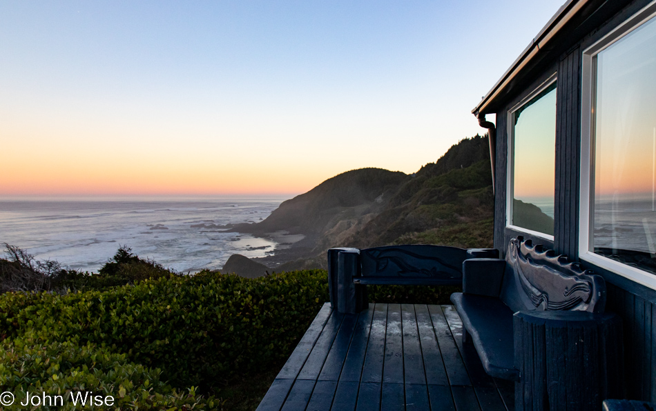
Up before the sun and the tide, up before Caroline, who’s not ready to unwrap herself from our lair, and up before the place opens where we’ll be stopping for breakfast once we begin our trek north. It’s Thanksgiving today as we bail out of the Shags Nest for our next destination, Cape Lookout, up near Tillamook. With merely 95 miles (150km) to cover, we’re confident we might accomplish this in under 10 hours and before the sun sets.
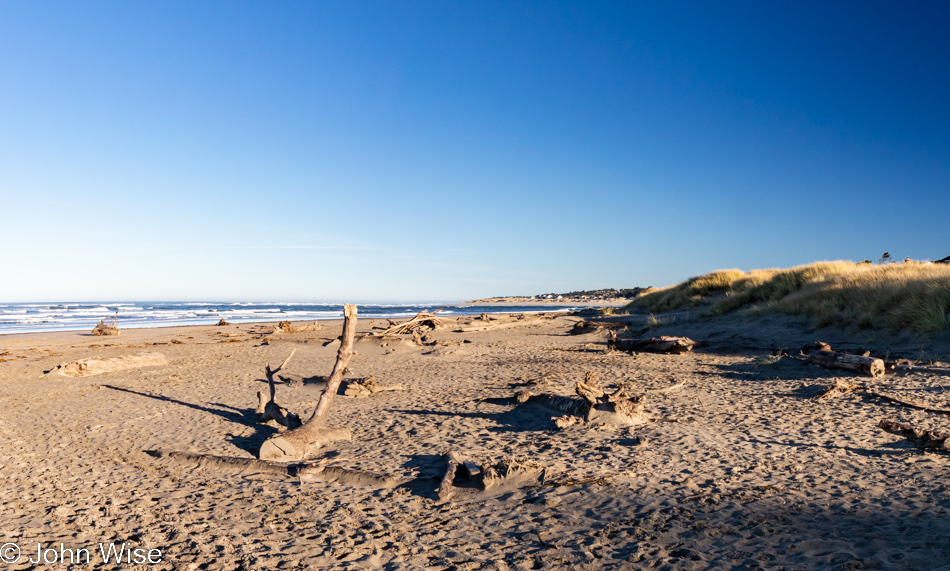
Somehow, there was some miscommunication between the staff and ourselves at the Drift Inn Cafe yesterday. We understood they’d be open for breakfast today, but it turns out they are serving brunch starting at 11:00. To offer more than 3 hours to the time gods would likely mean we’d be arriving at our yurt well after the acceptable check-in hours of 4:00 to 8:00 p.m. and so we’ll skip this first meal of the day to cover the 24 miles between us and Newport where we are certain to find the Newport Cafe open, but will we be there for breakfast or lunch?
By now, the routine is well known: the best of intentions will be tossed right out the window after that blinking billboard of a sign imploring us to stop right here at the Governor Patterson Memorial State Recreation Site in Waldport proves to be an effective tool and gets us to leap out of the car for a stroll on the beach early in the morning. [Private note to my editor, Caroline: please do not fix this slight exaggeration and tell the reader that the sign is small and that we’re simply unable to avoid any empty beach that catches our eye. – Duly noted, CW] From the size of the crowds amassing here on Thanksgiving morning, you can tell that we only choose the popular places to explore as the intelligence of the crowd is undeniable.
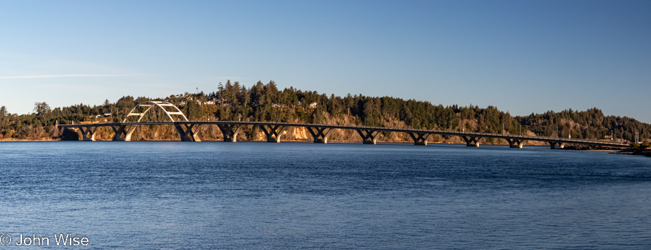
What may not be evident to the casual reader is that the Governor Patterson beach and bridge (pictured here) are already 16 miles up the road, meaning what would typically require a couple of hours has been accomplished in a quick 20-minute spurt of solid driving. We call this “Vacation Discipline.”
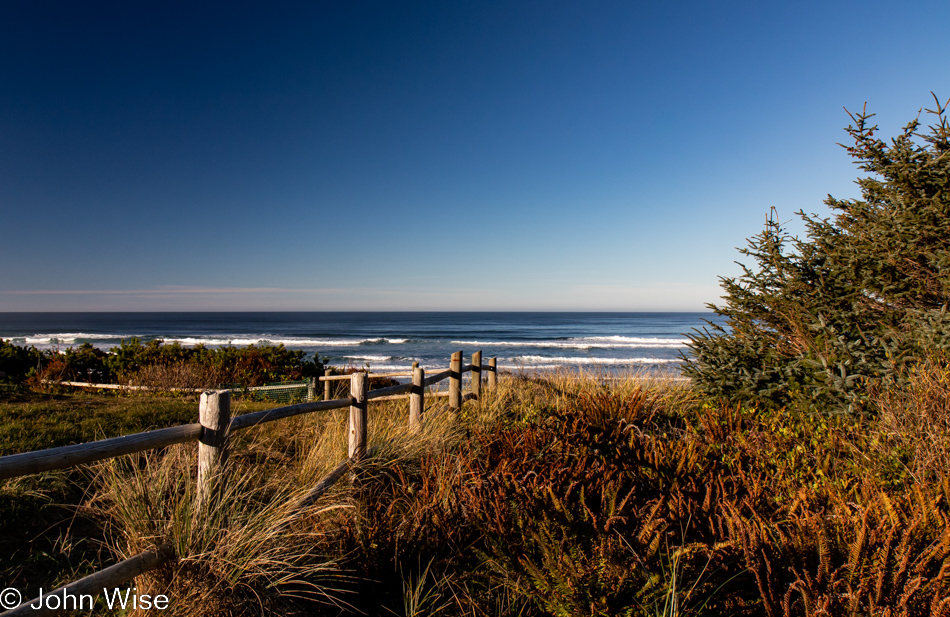
I must cop to utter failure as the pullout for Driftwood Beach just south of Seal Rock means we only made it 3 miles before the distraction of desire intruded upon those intentions I just claimed were thrown out the window. If one were to think an intervention right about now was appropriate for Caroline’s and my obvious addiction, I wouldn’t be able to deny that we probably have issues.
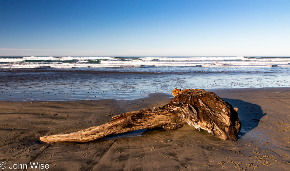
Imagine my astonishment when, after walking out onto the beach here at Driftwood Beach, we spot this giant piece of driftwood that’s almost more of a giant chunk of tree but with barnacles attached to its bottom side (not unlike on my wife’s by this point in the trip). It’s easy to see that it’s been out to sea and probably just drifted in for us. What makes this so peculiar, it’s kind of like those roadside signs that tell of the wildlife in the area that’s never seen.
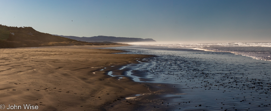
You must be thinking at this point, “Hey John, nice that you stopped here at this wide open beach so I can see with my own eyes that I, too, must one day visit Driftwood Beach, which appears to only have one piece of its namesake, but that’s okay as like so many of the other places you stop at, there is nobody out there with you.” Right about then I start backpedaling to explain that this is not reality but a simulation, a private AI-generated vacation for people who like to be alone with each other.
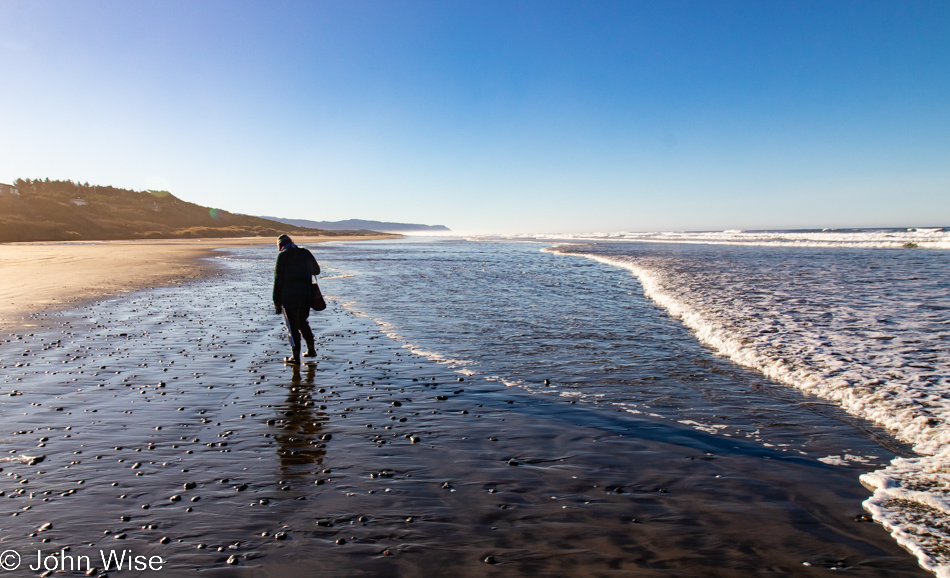
With a dearth of driftwood on Driftwood Beach, Caroline is relegated to looking for stones, which, as you can see, are ubiquitous.
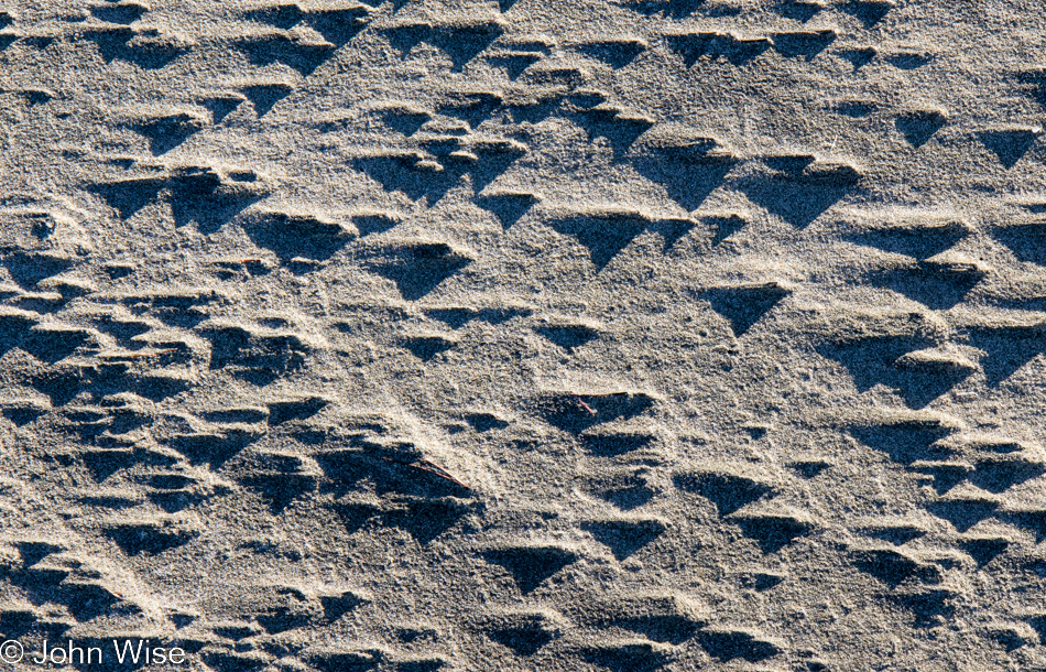
I know I’ve seen this somewhere else: this alien form of 3-dimensional sand braille that can also be deciphered using an advanced Morse Code tool whose name we forgot at home.
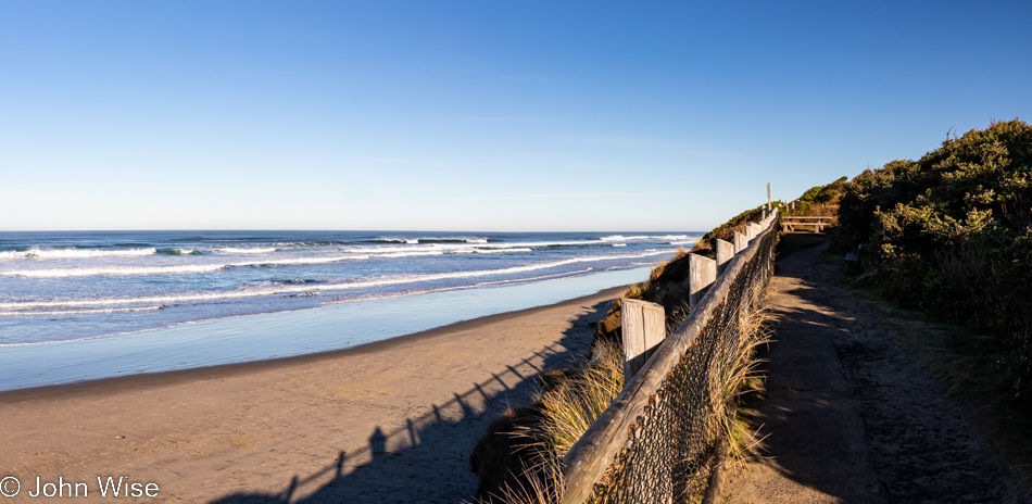
No, say it isn’t so, “Are you guys stopping yet again? Have you even driven 6 miles yet?”
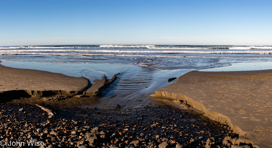
Wow, these questioners really know their geography, as we’re almost exactly 6 miles further up the road. But please believe me when I tell you that if my hunch was working on overdrive, we’d never have stopped. The sign said something or other about Lost Creek, and my intuition screamed at me, “You can find this lost creek that’s been missing for the better part of a century.” Sure enough, here it is, the long-lost creek of infamy and lore so big that if I attempted to share it now, we’d never reach breakfast in this story.
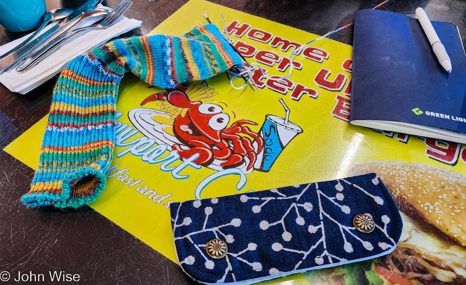
With plans as fluid as the ocean, we arrived at the Newport Cafe for a Thanksgiving Day breakfast of seafood, eggs, and potatoes at 10:00 sharp, an excellent time for breakfast. And while we wait, don’t waste a brain cell thinking we might find some simple conversation when we are prepared to engage in crafting, me with pen and paper, Caroline with needles and yarn.
If you are thinking that the name Newport Cafe sounds familiar and somehow it is associated with a kind of ecstasy, you’d be 100% correct. It was just two years ago when I finally convinced Caroline that it was time to graduate out of the little leagues and go big or go home, and with my victory at hand, we ordered the 8-POUND SUPER ULTIMATE MONSTER BURGER from Newport Cafe and almost finished it with only about 6 pounds remaining…that we used for leftovers for probably 3 or 4 days max. Should you be curious about what a thing of such grandeur looks like, visit my old post here and see for yourself, especially Caroline’s look of wonder and delight.
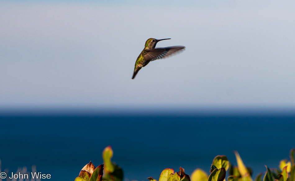
With only 62 miles to go before checking into our yurt, maybe we should slow down or consider longer walks along the beaches we’re bound to stop at anyway. Just then, while spacing out looking at the ocean, a food-coma-induced flashback has this hummingbird flying up, hovering, and telekinetically speaking to Caroline and me, saying, “Indeed, you are moving much too fast, and if you really think a hummingbird is talking to you, maybe your breakfast included a tasty magic mushroom; this is after all Oregon.” Whoa, I’m tripping, was my thought, just as Caroline took on the shape of an anemone and was about to start feeding the hummingbird, yet suddenly whipped out her fighting tentacles for battle.
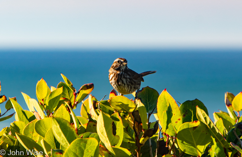
“Tsk-tsk,” sings the song Sparrow and laughs at the silliness of us listening to a hummingbird.
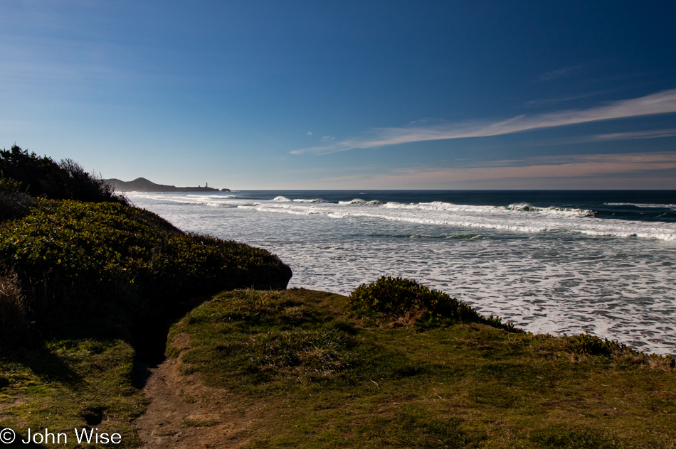
This is Moolack Beach with Yaquina Lighthouse off in the distance, and sadly, we didn’t return to the old blog post regarding the monster burger because it would have reminded us that earlier on that particular day, we had come across a recent landslide with a bunch of exposed fossils that were just incredible. It would have been dreamy to visit that spot one more time.
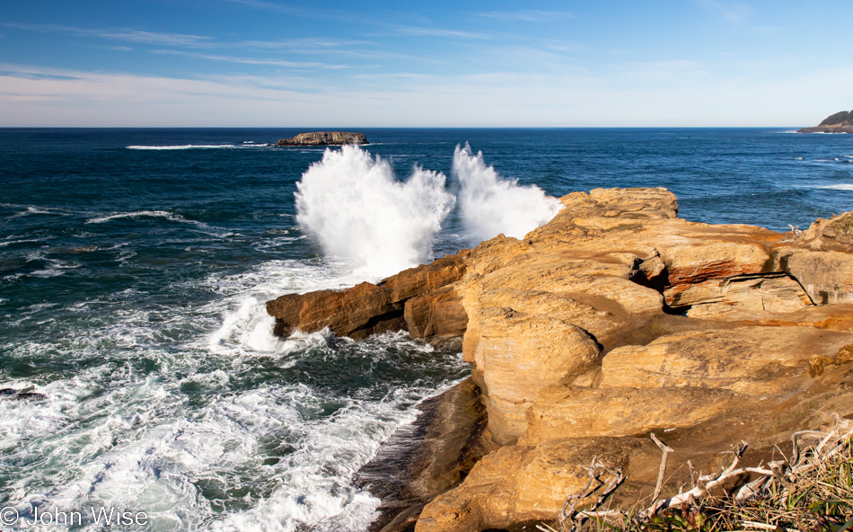
This is the Devils Punchbowl near Otter Rock. This is not our first time here, yet I was foiled again on getting a decent photo down in the punchbowl itself as shadows, and the balance of light are difficult to balance at the best of times, or downright impossible as it was on this visit. No matter, the surroundings are just as extraordinary.
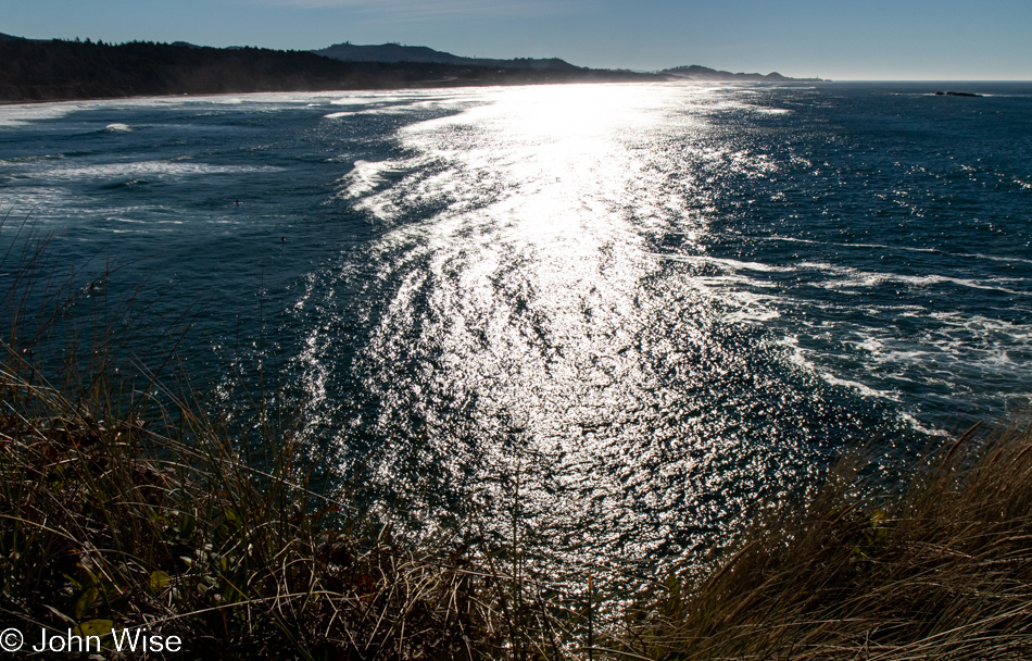
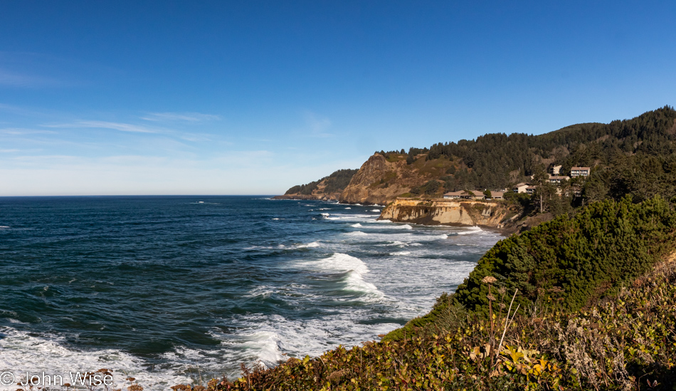
For example, this is the view south of the Punchbowl.
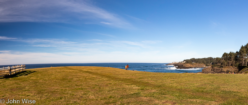
And this is the view north, nice, huh?
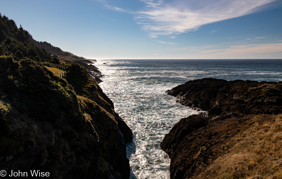
We are not at Grassy Knoll Beach; there isn’t even something called that in Oregon. We are at the Rocky Creek State Scenic Viewpoint near Depoe Bay.
If you’ve read the posts from the previous six days, you are likely noticing that I’m making mince meat of this post and getting through it without being quite so verbose, and that’s because I’m afraid I’ll still be writing about this trip to Oregon in early 2023. It’s the day after Christmas when I finally got to write about this day.
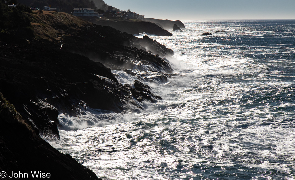
Tranquil sandy beaches couldn’t be cast in greater contrast to these rocky coasts where waves don’t simply break upon the shore; they claw at the craggy escarpment, always threatening to pull the land back into the sea.
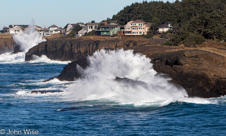
Wherever that creek is located that Rocky Creek is named after, it’s good that this section of the coast is hard rock instead of sandstone as this place takes a beating.
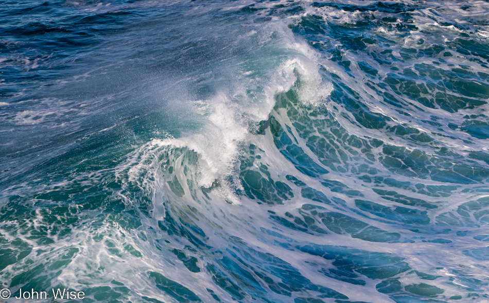
Hard rock or soft sandstone, the ocean will ultimately win as it’s relentless in the work it performs at the edges of lands we live upon and visit for recreational purposes [or to be mesmerized – Caroline].
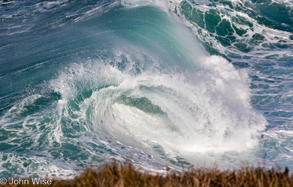
The allure of big water is inexplicable as, in many places, it can be seriously dangerous, but still, it draws me into its seductive maelstrom.
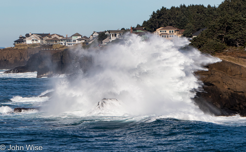
Countless times, I’ve witnessed these watery eruptions where waves crash into a rock or cliff, and the explosive energy shoots water 50 feet and higher into the air. It’s what I see in my mind’s eye happening when people stand too near the edge of a cliff.
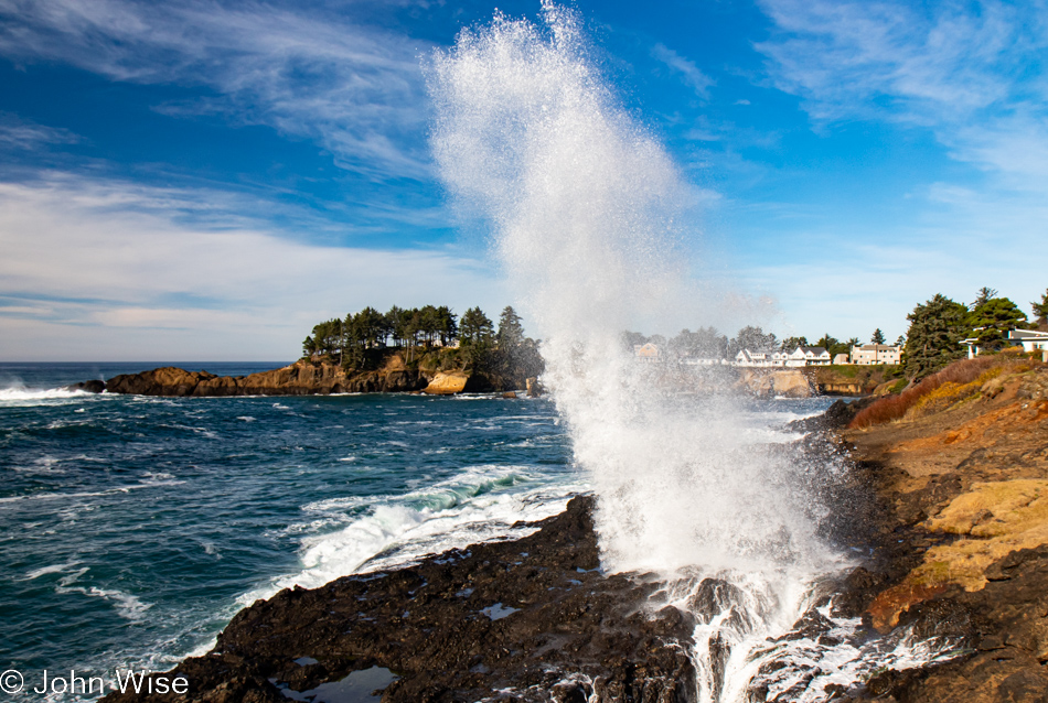
This being Thanksgiving, we were fairly certain that there’d be no stopping at the Spouting Horn here in Depoe Bay due to crowds and traffic. However, we’ve seen more traffic at other times and are pretty surprised that more people aren’t here, especially during a king tide event. There was no need to hunt for parking but an abundance of spots everywhere. You might also notice that, yet again, the forecasted rain has not materialized.
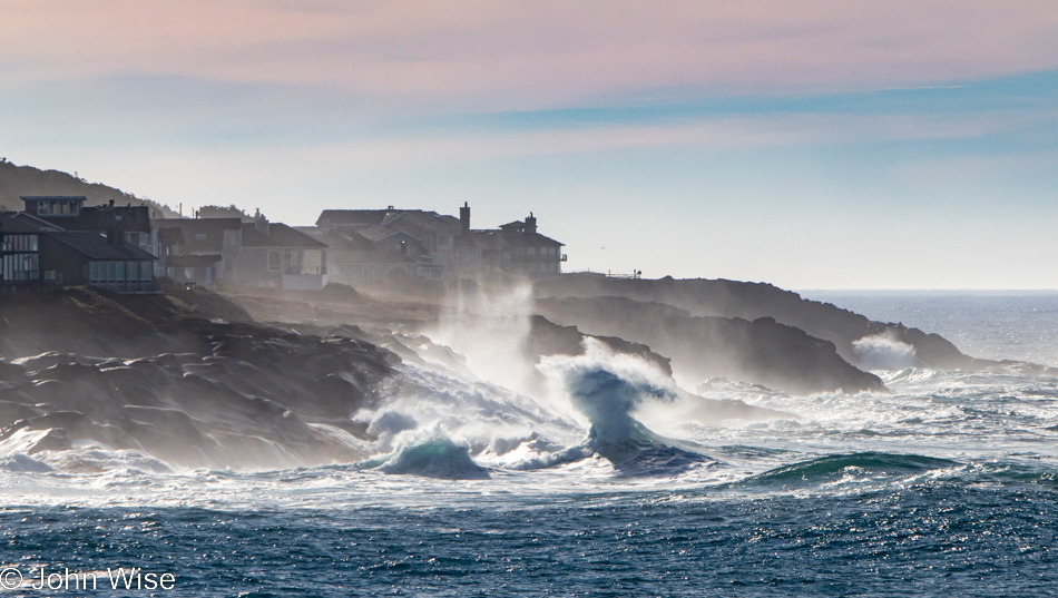
Saltwater can be harmful to us and our plants, but it’s also the main source of rainwater that feeds our plants and aquifers, thus supporting us. It is so profoundly beautiful that I never tire of trying to photographically capture it in its wild state, though I also admit that writing about it so frequently can be daunting.
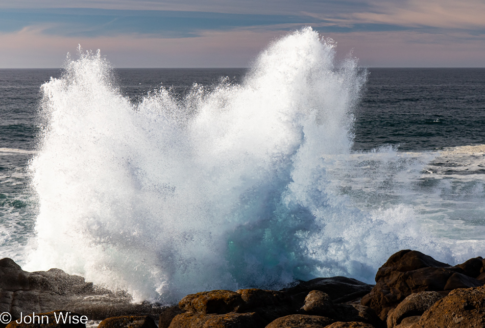
Understanding the importance of this vital natural resource seems to have been largely overlooked by previous generations, who apparently saw it as an infinite self-healing body that allows humans to dump what we’d like into it. Not only were our ancestors, and those currently still exploiting it, happy to take as much fish out of it and kill as many whales as possible, but they have also been responsible for dumping millions of pounds of trash into the ocean.
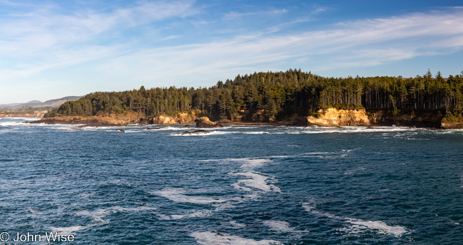
If others treated our personal homes in a similar way, coming in to collect what they could for food and then depositing trash in our bedrooms before spilling harmful chemicals in our kitchens, we’d suddenly have a different relationship with those who are violating our living space, and yet this is in essence exactly what we are allowing.
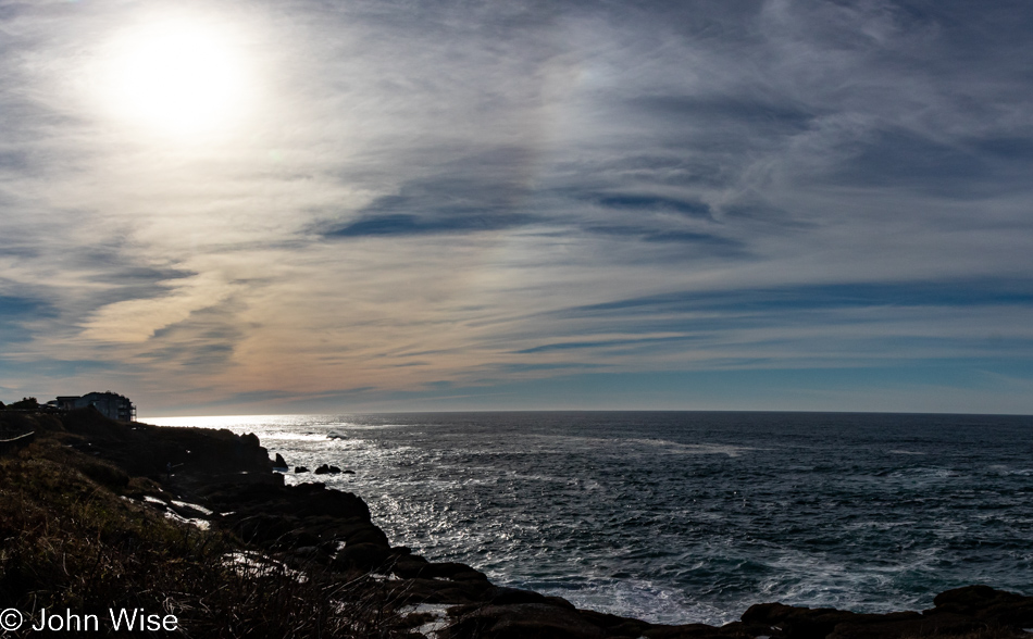
When the crabs and sea stars are gone, when plastic trash piles up on every beach, and swimming is no longer allowed, might we recognize that the ocean was never ours to deplete and poison?

We’ve reached Siletz Bay in Lincoln City, a place I don’t believe we’ve ever just driven past.
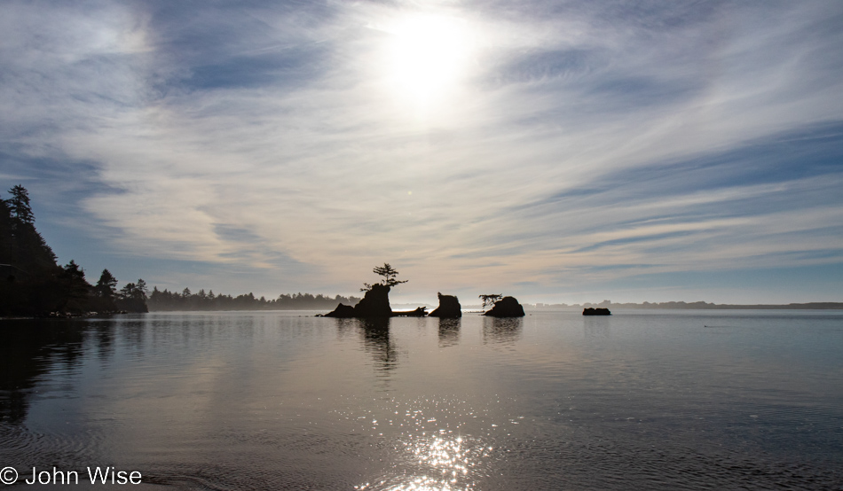
I can’t say that this spot on the coast has ever been anything other than one of tranquility, but the tree trunks we walk over to get closer to shore have obviously seen life in the water, meaning something like a tempest has thrown them up here.
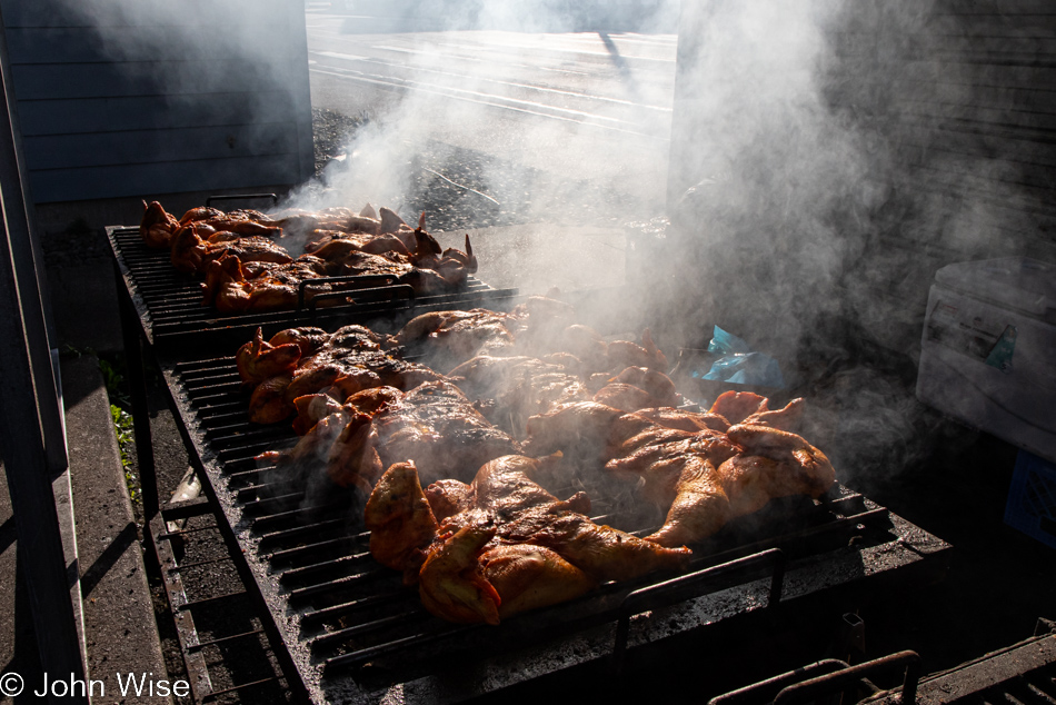
The smell of something grilling piqued my homing skills, and in a quick second, we pulled a fast right turn into the parking lot of the El Torito Mexican Meat Market and Grocery here in Lincoln City. How in the world is this place open today and just as strange, how have we missed this on previous visits? We hadn’t missed it, as they only opened in April of 2021. The man performing the grilling duties informed us to go pay inside and that with our receipt, we’d be able to collect our spatchcocked chicken. Wow, this store is the single greatest ethnic store on the entire coast of Oregon, a treasure.
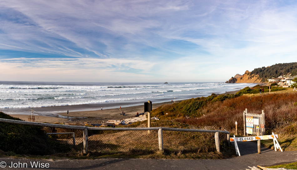
With our macheted chicken dismembered into eight individual pieces, we took the bagged bird over to nearby Road’s End and enjoyed our grilled poultry that amounted to our Thanksgiving dinner. A beachside picnic with nothing to clean up except our greasy fingers was a dreamy way of creating yet more indelible memories. The beach access path was half-heartedly barred because of the king tides expected these days, but plenty of people ignored and circumvented the obstacle. Knowing our time was running out, we opted not to join them down below and instead continued north.
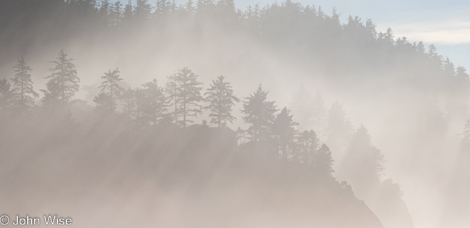
Looking at the map, Caroline found a Ghost Forest on the beach near Neskowin. I admittedly didn’t understand what this meant at this point on the trip. If you’ve read the previous day’s posts, you might have seen that I wrote of Ghost Forests back on the third day of this journey but that was due to other research about some of the geological features found out here. Had I known here on Thanksgiving the specifics of how these occurrences happened and what we might expect to see, we would have made a greater effort to see the ghost trees.
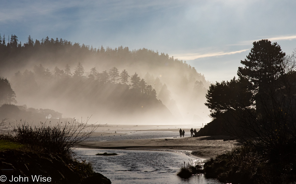
There’s a bit of a problem reaching the often submerged remnants of the forest: you have to arrive during low tide, and since four creeks meet here, you’ll have to walk through the main combined stream. Maybe there isn’t so much water during the summer months, but the times we’ve been here, the “creek” is a minor river. The trees are on the south side of Neskowin Creek, a private community, so crossing the creek is the only way there.
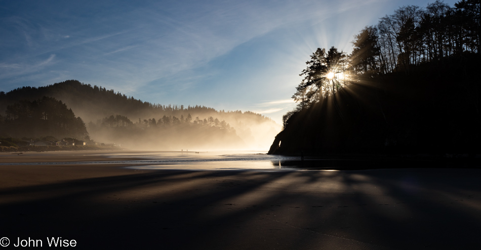
On this day, the tide was exceptionally low due to the fact that when the coast is experiencing a king tide, it often sees the opposite effect with a negative tide, meaning that this would have been an ideal time to see the 100 or so tree stumps poking out of the sand if I had only known back then what I know today! All the same, as you can see for yourself, there was plenty of beauty to be had.
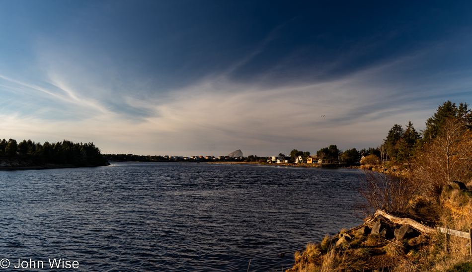
Looking across Nestucca Bay towards Chief Kiawanda Rock in Pacific City.
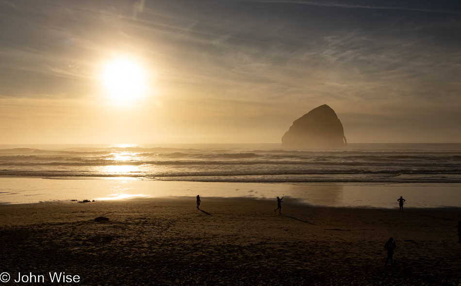
That is Chief Kiawanda Rock out there, sometimes known as a haystack rock. The other things are people, and as you can tell, this beach was quite crowded compared to those we visited earlier.
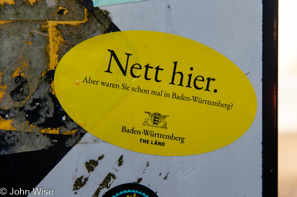
If you only could have heard Caroline’s laughter at seeing this sticker, that hadn’t caught my eye in the least. This was/is a meme that went globally viral, at least for Germans. It reads Nice Here. But have you been to Baden-Württemberg? For those who don’t know, Baden-Württemberg is the state in Germany where Stuttgart is located (home of Mercedes-Benz, the carmaker) as well as the Black Forest and apparently a healthy dose of self-confidence.
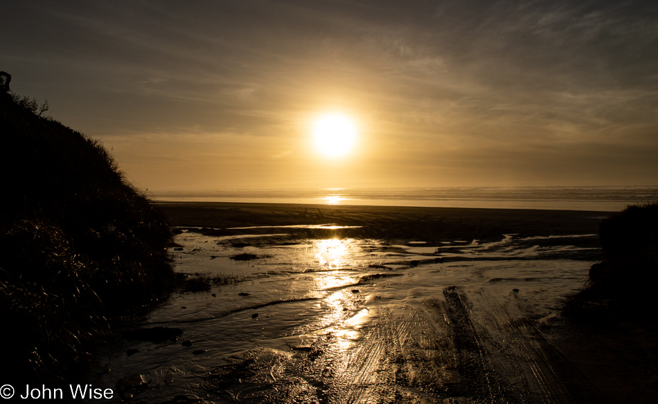
See those tire tracks leading out to the beach? We are at McPhillips Beach in Cloverdale, just north of Pacific City, and Caroline was having nothing to do with my idea of driving on the beach. And that just because a long, long time ago, I got our rental car stuck in the sand since I don’t know how to safely drive on a beach. Sometimes, that German logic stops the potential epic fun [stupidity], we might be able to gather from being spontaneous because “one” of us believes they know better.
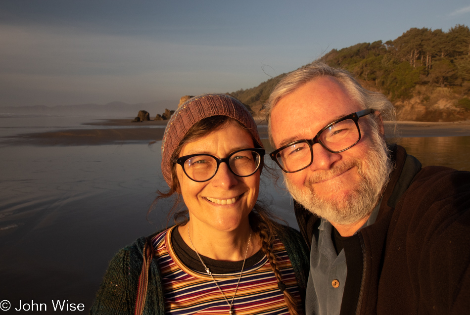
So, instead, we walked out onto the beach, and I had to fake this smile of happiness.
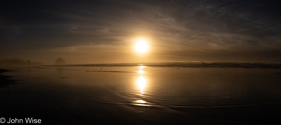
All I could think of looking at this scene was how much better it might have been had we been barreling down this part of the beach with the windows wide open, water splashing as though we were on horses riding bareback, crushing all of those poisonous jellyfish in the shallows, while hooping and hollering at the immense enjoyment we were experiencing. But no, all we did was stand here going blind, looking into the sun.
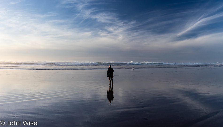
Ultimately, I had to just leave with Caroline still standing there, blind and unable to move.
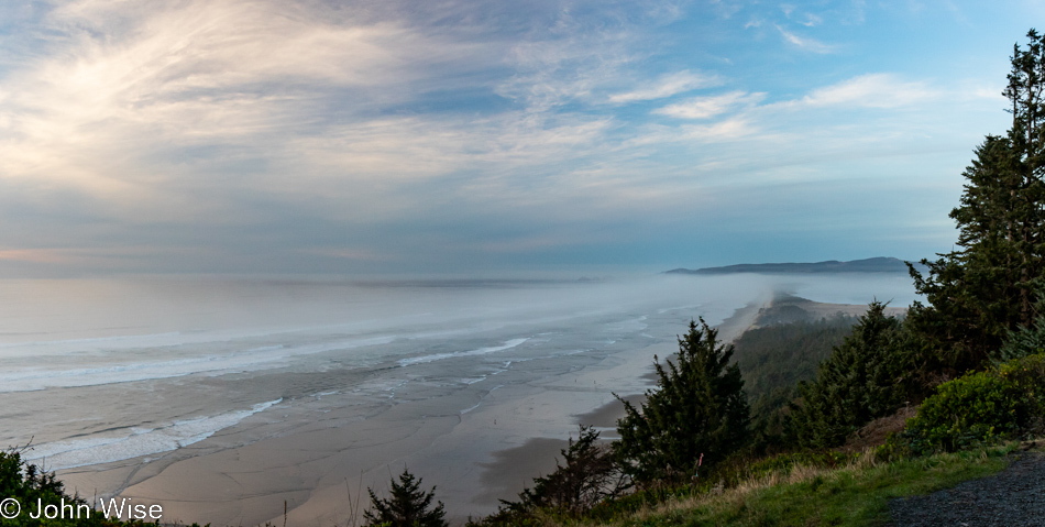
Right down there is Cape Lookout State Park, our next and final stop of the day.
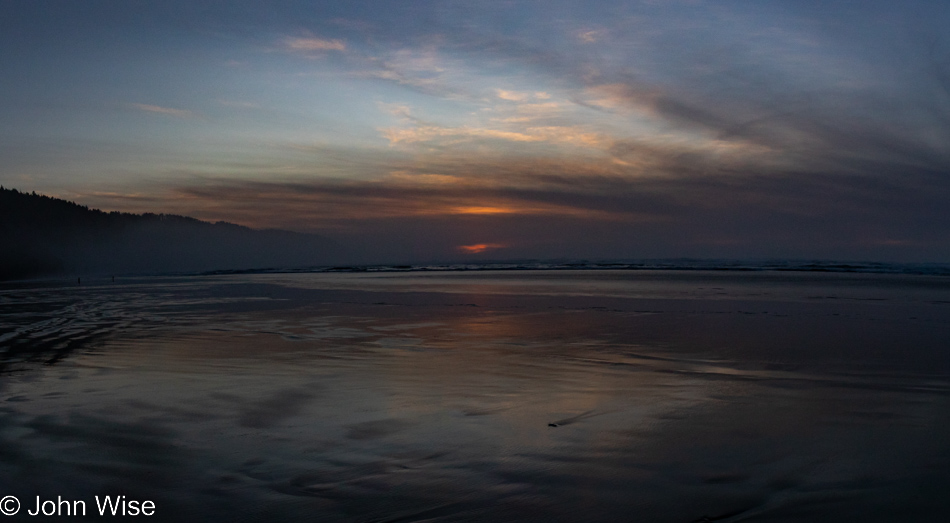
Checked into our yurt, made the bed, and took off for a quick walk along the beach. We are only 10 miles from Tillamook, meaning the Tillamook Creamery and Cheese Factory, and we are already dreaming of picking up an ice cream there tomorrow, but with 145 miles of driving ahead of us tomorrow, is it a good idea to stick around until 10:00 when they open? By the way, that drive takes us south, which might beg the question, why’d we drive so far north today if we just have to turn around and drive south already?
Back in May when this trip was being planned, we were going to drive from Phoenix, Arizona, to Brookings, Oregon, which takes a solid day and a half. According to that plan, we’d hit Cape Lookout and do some hiking up this way before visiting Tillamook for lunch at the Blue Heron French Cheese Company for smoked brie sandwiches and taking a few packages of smoked brie home with us in the ice chest that would have been traveled with us in the car. In May, the flights and car rental were just too expensive to reserve, but when checking on a whim in early November, I saw the prices were now a lot more reasonable, and I even found a non-stop to Eugene, Oregon, that is only 75 minutes away from the coast, we booked flights. The problem was we also had all of our accommodations reserved, and yurts are not easy to come by around the holidays.
The original plan had us enjoying our last night in Oregon at the Umpqua Lighthouse, where we are driving tomorrow. Seeing we were no longer staying the night in Trinidad, California, I canceled that and hoped to book a second night at Umpqua, sold out. Had we canceled Umpqua, there’d be no refund, and while it’s only about $50, we love that place, and a second night at Cape Lookout wasn’t available either. Carl G. Washburne Park only has two yurts, and those are in high demand, so that was sold out, too. I found availability in Bandon at Bullards Beach in the south, so that would have to do, even though it meant a lot of yo-yo driving.
Going to sleep only lasted seconds before something that was irritating my lower leg earlier in the day really started to bother me. I reached down to investigate and realized I either had the biggest zit at a place on my body where I’d never experienced one before, or it was a tick. Panic riveted me out of bed. I grabbed a headlamp, and – the horror of horrors – I found a tick embedded in my leg and nearly wanted to throw up. Wow, Caroline packed the tweezers and, to the best of her ability, grabbed hold of the ugly monster and yanked most of it out of my leg. Now I have to try sleeping with its mouth parts still attached in the depths of its burrow; this is the stuff of nightmares.