
A great, big, happy place graced with a sweet, happy face is the kind of starting a day I find agreeable. Add a pot of Belgian hot chocolate, mix in some coffee, and breakfast is off to a great start too. Can you recognize the setting by now? Yep, we are back at the El Tovar, luxuriating in yet more indulgence as if that were even possible.
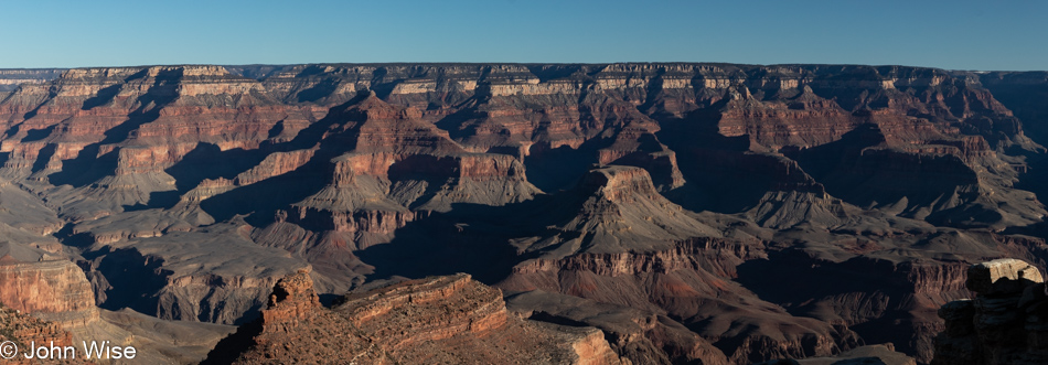
Yesterday’s journey on the Rim trail took us west; today, we go east.
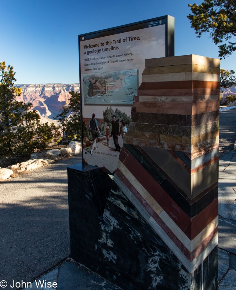
I didn’t share it yesterday, but our walk took us out on the Trail of Time, albeit the part of history that is not visible, such as the beginning of the timeline when the earth formed. Today, the Trail of Time marks spots along our walk that not only explain when particular geological layers were laid down but also what the rocks look like and how they arrived here at this corner of our planet.
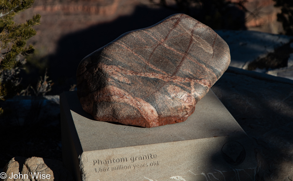
Gneiss, schist, and granite make up the Basement Rock layers of the canyon, and I would have loved to share an image of the Vishnu Schist, but that rock is black and sat in shadow; thus, my photo wasn’t worthy. Again, in my book Stay in the Magic, which chronicles our first-ever whitewater adventure, I wrote about my teary-eyed encounter with the basement. I’d like to recommend you click here to read about that day back in the fall of 2010
This is an example of Bass Limestone that is part of the very interesting Supergroup formation that is squeezed into the canyon. While I find the subject fascinating, maybe it’s not the quickest of explanations without diagrams, although the photo of the Trail of Time sign clearly shows the angular intrusion of the Supergroup between the basement and the majority of visible rock layers here in the canyon.
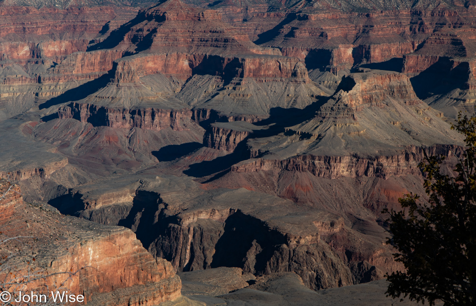
By now, I wouldn’t blame the casual visitor to my blog for getting a sense that I’m posting many photos that look like others. Maybe you’ve not been to the canyon or studied its geology and history, so you wonder why these somewhat repetitive images are so intriguing to Caroline and me. Well, each photo I share is another work of art painted by the adept hand of Mother Nature.
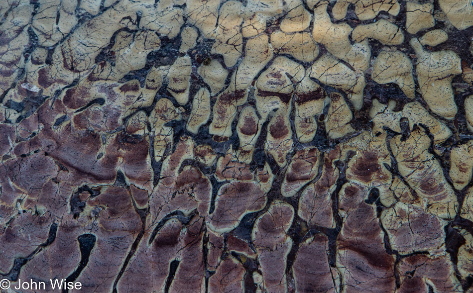
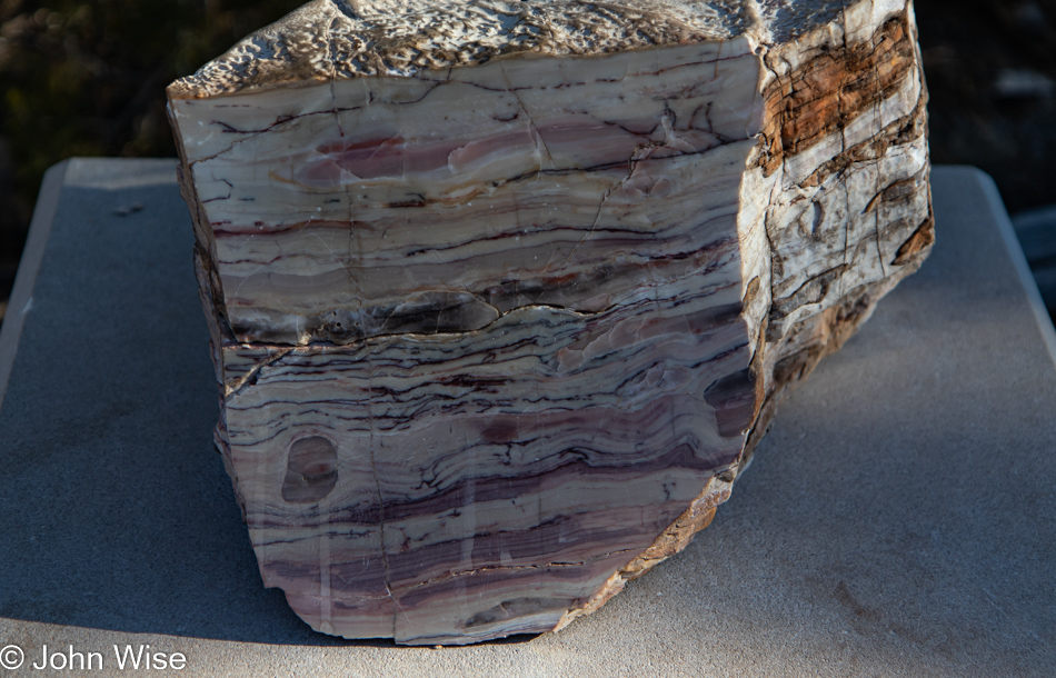
This polished section of rock was on the south side of our trail and was unmarked. The named and year-identified rocks are on the north side of the trail. I do wish we knew what this was.
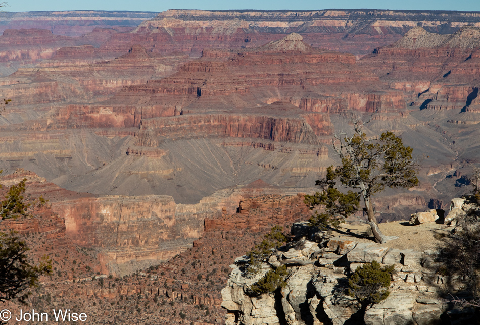
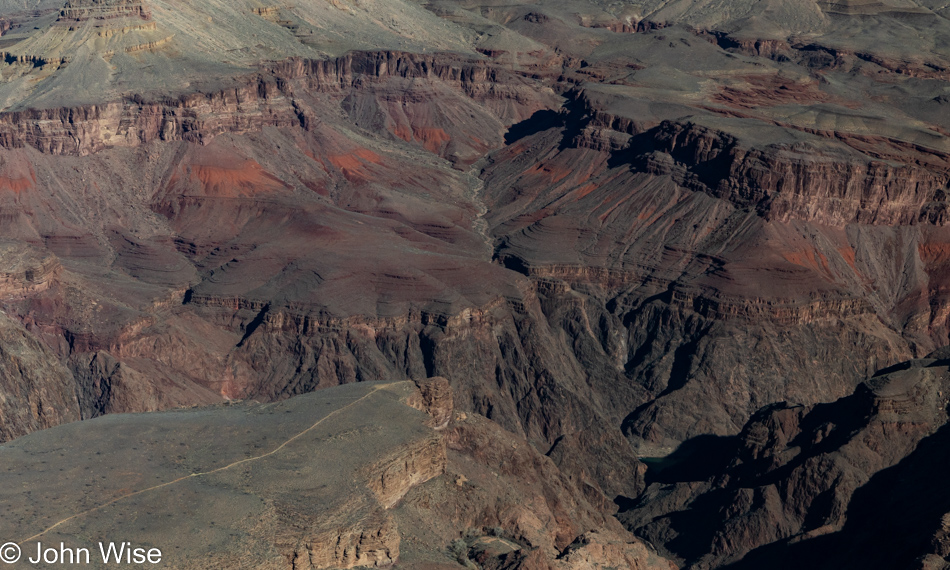
There’s as much gone from erosion in this photo as there is to be seen. A one-mile layer has been eroded from the north rim, which is visible at the top of this image. That’s where the fossils of dinosaurs and mammals would have been found had weathering not erased that part of history from our continent. To see what’s missing, simply travel north of here into Utah, Wyoming, and Montana, where much of that record still exists.
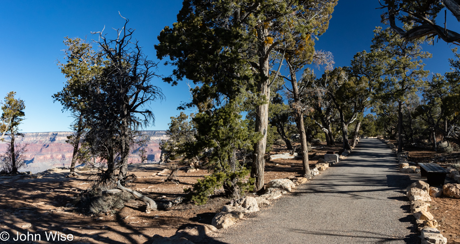
The Trail of Time is not a difficult hike into the canyon; it’s a handicapped-accessible path offering all visitors the opportunity to take a nice slow walk on the canyon’s edge while also learning about the history of how the canyon formed. Spoiler alert: this place isn’t only 6,000 years old.
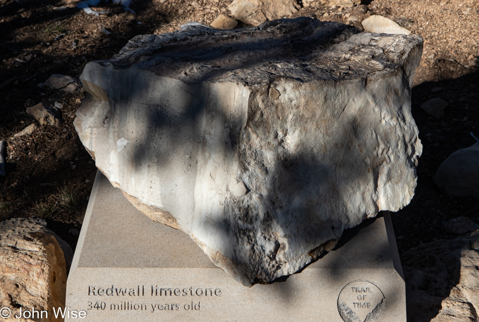
Things are not always as they seem here in the canyon, such as that age reference made to the religiously devout just above. This Redwall limestone is obviously not red. Back when the science of geology was a nascent endeavor, the people who had a hand in naming canyon features might have played fast and loose with things, as the truth about Redwall limestone is that it appears red due to erosion of the rock layer that lays just above it.
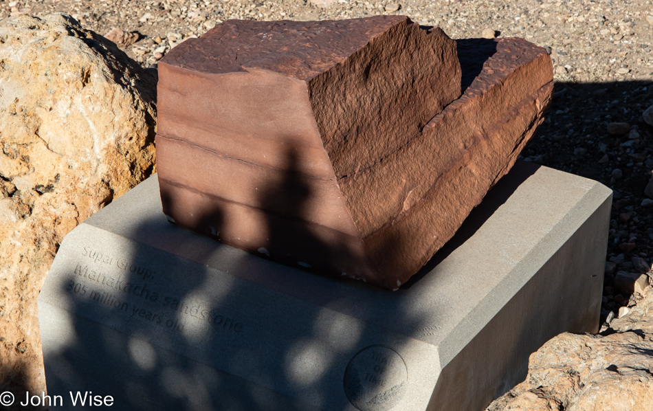
Manakacha sandstone is a 200-foot thick layer that rests upon the Redwall limestone, and thanks to its erosion, the limestone below it appears to be red. Don’t forget that limestone is formed by the shells of sea creatures, while sandstone is formed from eroded rocks that accumulate on a land basin or underwater. Maybe this all seems normal to most people, but to me, the processes that were at work to create the lands we live on are simply astonishing yet probably mostly taken for granted.
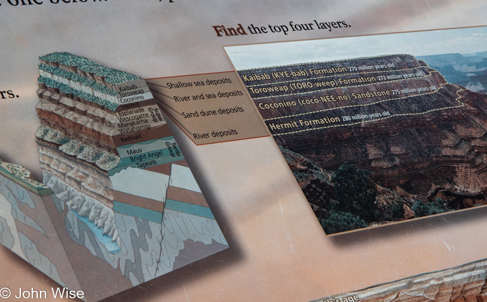
This sign points out the top layers you’ll see in the following photo, where first there was a river (Hermit Formation), and then on top of that, sand dunes formed (Coconino Sandstone) until a river and a sea started leaving deposits (Toroweap Formation) before another shallow sea formed (Kaibab Formation). Personally, my mind is blown again and again, no matter how many times I read this and see it with my own eyes.
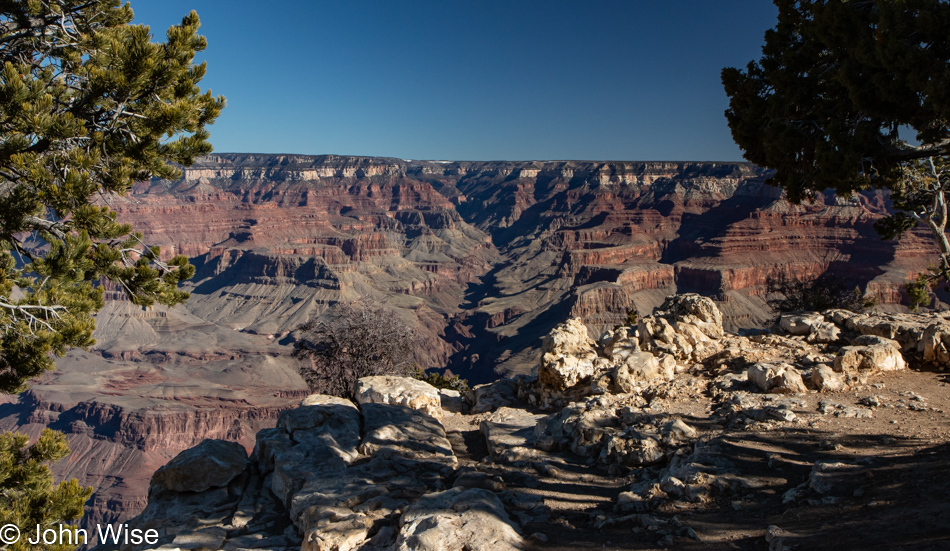
How many photos that capture minor iterative differences in this scenery are required to be shared? All of them. I look at the spectacles of nature in ways similar to how others listen to their favorite songs. How many people might listen to nearly all 213 songs the Beatles released and never believe they all sound the same? Well, each photo I share here of these views of the Grand Canyon is a song, and each major point in the canyon is a different artist.
Inspired by our travels, writing these posts to images is the musical composition or aroma of a favorite dish that becomes a classic in the repertoire of references that amplify what would otherwise be fading recollections. In effect, I’m creating a soundtrack that allows us to relive moments as viscerally as a favorite song brings us back to being a teenager or falling in love for the first time.
Listen closely, and you might pick up on the smell of amazing as you gaze into the deep canvas of the infinite. While you scan the horizon, you are seeing the past, the present, and the future, too, though nothing of you is still left here from previous visits and your next present moment will be elsewhere. Out of that reality, your presence will likely never have been known here, but should any of my writings and photos exist at some later date far from this day, I might be so lucky to remain a part of the places I’ve been just as the sediments and fossils do before they rejoin the flow.
The flow of time, of rivers, of songs, and stories over the ages all create impressions that leave temporary indelible marks on those things they touch. Carving into youth, imagination, rock, and space, these flows impress character and define the extent of culture that should be boundless but are often constrained by self-imposed and societal boxes that people are unable to escape. The man cave is not the totality of experience, nor are the toys that allow us to distract ourselves; it is the vastness of the Grand Mind and Imagination traversing words and thoughts we ultimately have to use to define where we are in this universe. Not taking the path of going deeper within one’s humanity of language, words, and speech, we risk falling off the cliff and into the void of an abyss. We are not meant to become nothings in a universe that offers us the unbelievable; we, too, must carve a mark upon the life we’ve been offered.
Well, this is embarrassing as, apparently, I’ve run out of songs. My lyrical content has dried up, and I’m sitting here trying to regain my flow as I move to finish this blog post.
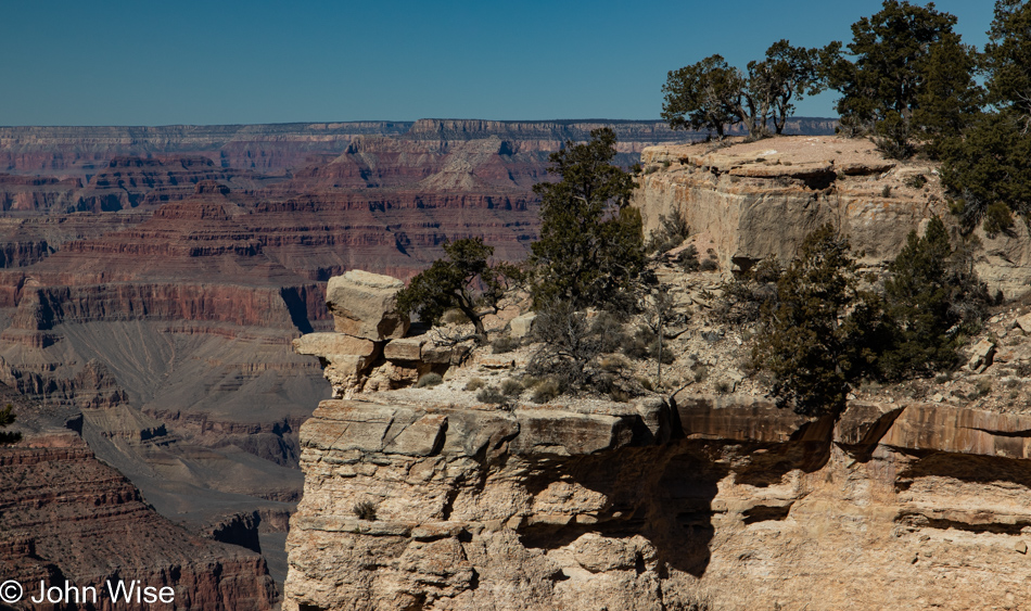
At least we are at the end of this trail, and I can begin transitioning to our exit of the Grand Canyon. This particular end is near the South Kaibab trailhead, where we’ll get a ride back to Grand Canyon Village, where lunch and our car are to be found.
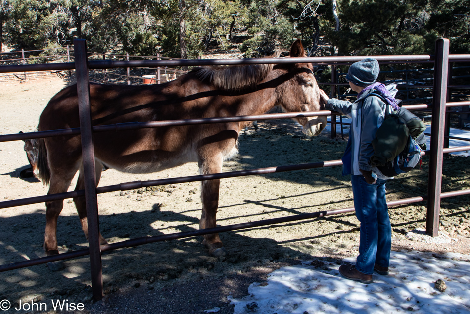
Of course, mule-powered transport the five miles back would be preferred, but as that would involve stealing a couple of these friendly animals, we’ll defer potential arrest and instead opt for the shuttle bus that stops here.
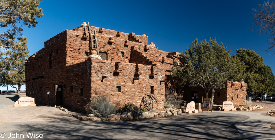
Lunch was at the El Tovar because, of course, it was. Thinking we’d get out of the Grand Canyon without another stop at a gift shop was folly because, of course, it too was. While Caroline went hunting for postcards in the Hopi House gift store, I remained vigilant in the great outdoors, waiting for the perfect image to present itself in case another addition to the photos shared here was required because I will never have enough to write about.
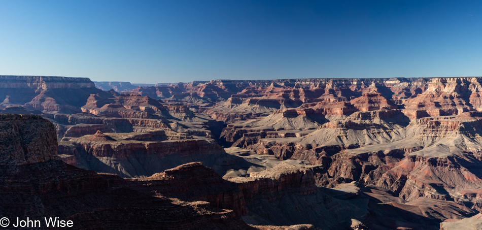
Caroline might insist that this was Moran Point, but I will remain defiant in my insistence that I read Moron Point; I’d then bet a dollar that she’d use that tired reference to the town in Texas that she says is indicative of these moments, it’s called Dumas. [John, you can be such a dumbass – Caroline] [John, did you really just write that fake comment in my name? – Caroline (the real one ^_^)]
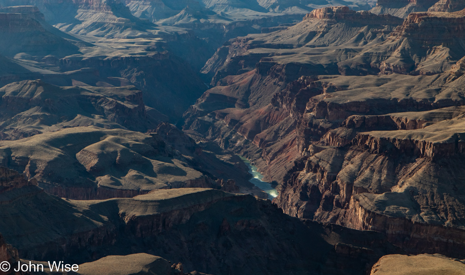
We both agree that this is Lipan Point and remain astonished that we’d never visited this overlook before. Keeping something unseen to drag us back works again.
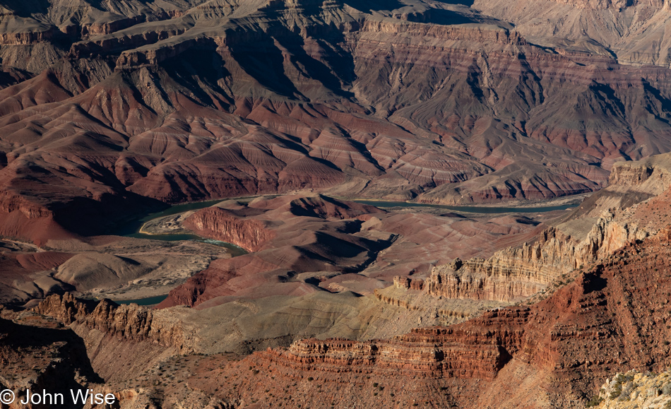
At Lipan Point, we decided to skip the Desert View Watchtower in order to catch this overlook and the next one. But before we leave this view of the Unkar Delta, I need to point out another detail from our river trip that took us down the green band out in the middle of this image called the Colorado River. Just left of center on river left (as seen from the flow of a river, which in this case comes in at the right and flows to the left of the photo) is Cardenas Camp at mile point 71.6. The Unkar Delta area is also known as Furnace Flats; if you are curious about some of the psychedelic rock down in that area, you should take a glance at Day 5 of Stay in the Magic; your mind will be blown.
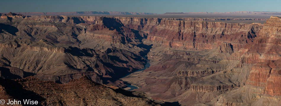
Finally, this is the view from Navajo Point, looking north up the Colorado River. If you look closely towards the top right of the image, you can make out a crack in the plateau that branches off the main gorge. This smaller canyon going to the right is the canyon that brings the Little Colorado River in to meet its bigger brother. And with that, we say goodbye to another visit to the Grand Canyon. What an amazing weekend and culmination of the third trip away from home this year.