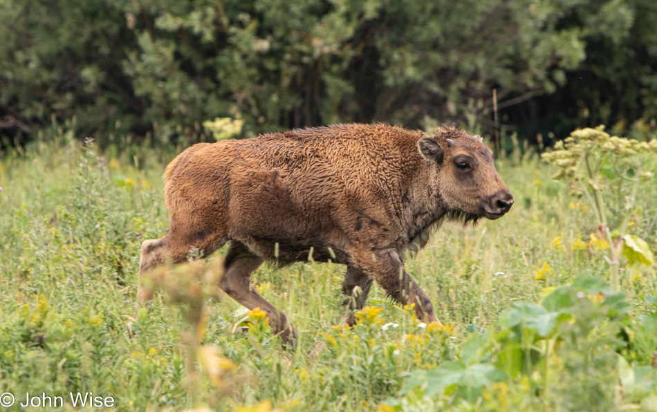
On our way out of Yellowstone, we are driving once more through Lamar Valley as the Northeast Entrance Road is technically U.S. Highway 212. Before we get to that point in the day though, we were stopped on the road by a herd of bison meandering from one side to the other. We definitely weren’t in a hurry (nor were the bison), but one California driver showed his disdain for some stupid animals and stopped cars as he pressed his Big Ass Truck through the waiting cars and past the bison while gesticulating wildly at us sheep who were observing these creatures’ right of way. Sadly, those of us who don’t (or no longer) live in California don’t really expect any different behavior from these elitist tools. And what did we get for our patience? This photo is of a beautiful young bison who personally came up to our car and thanked us for not running over any members of her tribe.
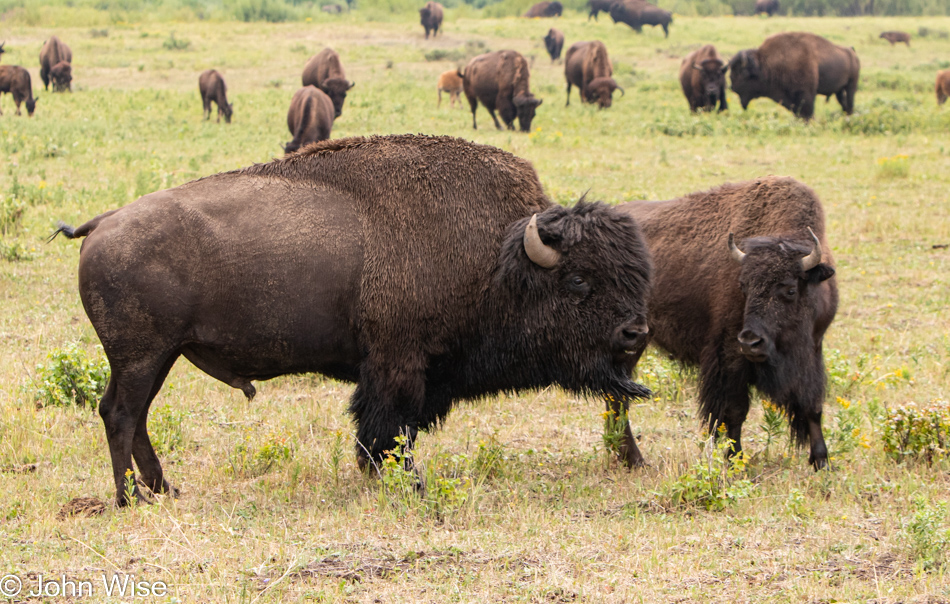
Then that very same baby bison offered to have its parents pose for us, Dad looking stoic and Mom gazing lovingly at her mate. Our fairy tale visit to Yellowstone is now complete, except for not seeing bears, wolves, herds of elk, bald eagles, lions, the largest eruption ever of Old Faithful, a helicopter view of Grand Prismatic, witnessing the super volcano hurling its guts over the Eastern United States, and Jesus appearing in the heavens above. Other than those omissions, our time here has been great.
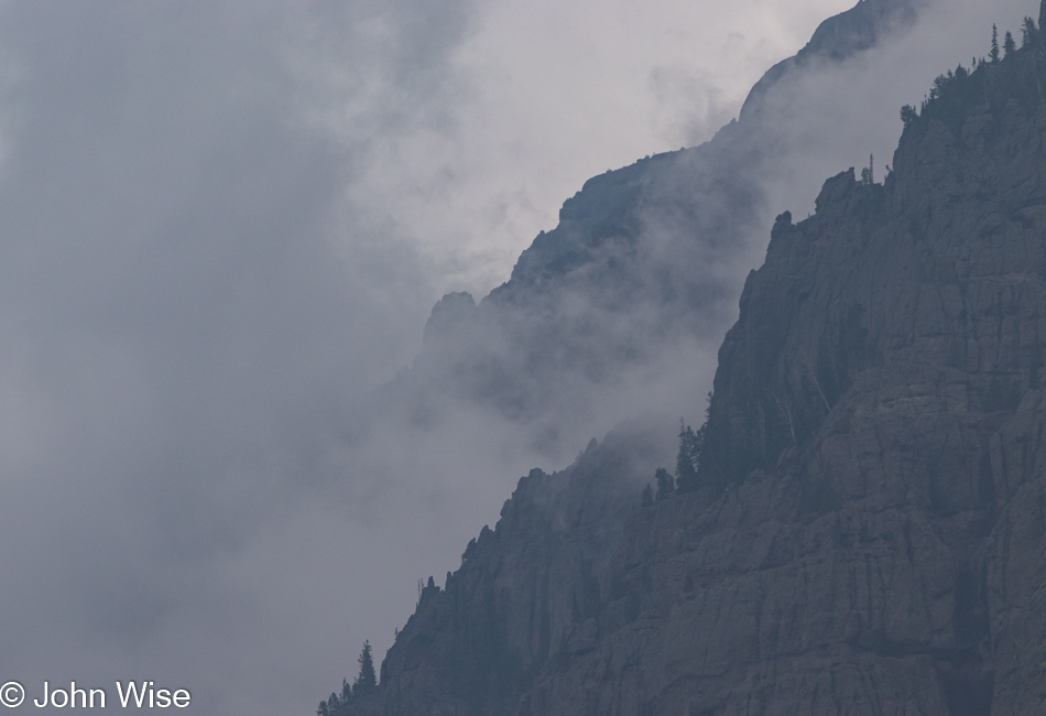
Somehow, we ended up under the caldera rim as smoke started billowing from the rumbling floor of Yellowstone. Is this the big one? Are we about to be launched into the stratosphere to get that birds-eye view of the total destruction the tabloid press and Discovery Channel have been promising us for years? False alarm, we’re just passing through a mountain range on the way towards Cooke City, Montana.
We are in the Beartooth Mountains for my first-ever visit to this rarely accessible range. The southern end of this road is often closed due to snow which has stymied Caroline and me driving this famously scenic byway in the western United States on previous occasions. The rest of the images that accompany this blog post are seriously compromised as the smoke from California and Oregon wildfires were making for poor visibility conditions. The following photos have a judicious amount of dehazing applied to them.
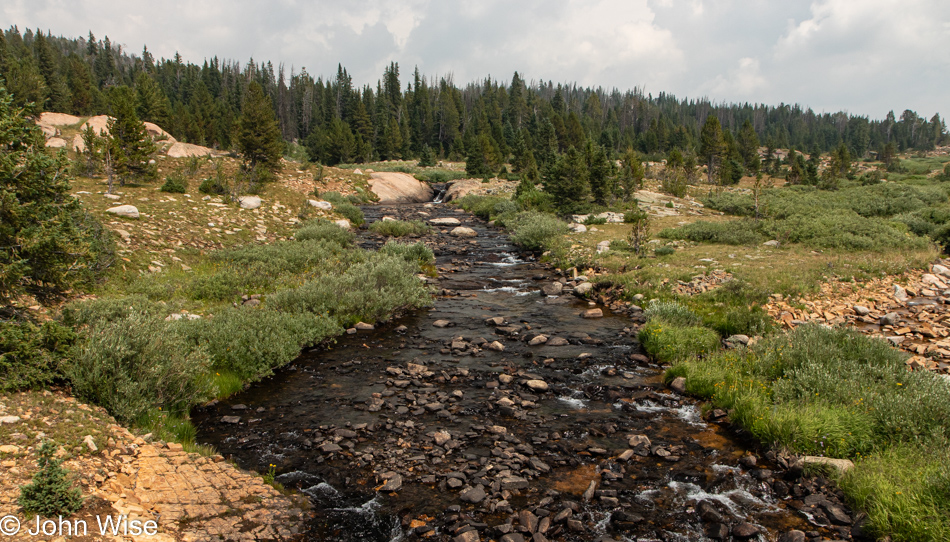
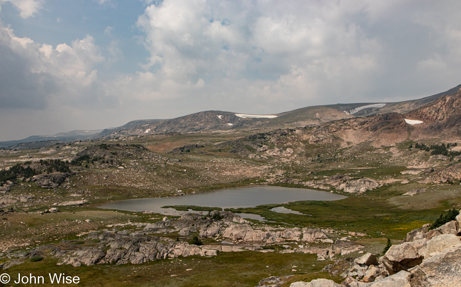
The short stretch of Beartooth Highway, a.k.a. U.S. 212 that I’ve traveled on in the past I thought might be indicative of the entire highway, and I therefore assumed that the beautiful photos I’d seen from deep in the mountains required hikes far away from the road, but today I would learn that this idea was wrong. This was the first stop along U.S. 212 that was so enchanting that I had to pull over. Mind you, I wanted to pull over a dozen times before this, but convincing myself that I wouldn’t get a reasonable shot left me with so much doubt that I hadn’t given in. Reflecting upon even this image, I feel cheated as we were near the top of a pass in a large meadow, and there was so much more that captured the eye than this photo represents that I’d like to exclude it, but then I’d have to also end this blog entry right here.
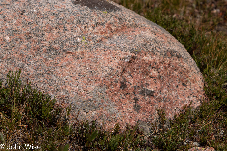
In-person, the pink and gray granite against the green meadow was so vibrant that it encouraged me to attempt grabbing images that avoid the hazy horizon, but without direct sunlight, my camera just didn’t do the job that my eyes were able to glean.
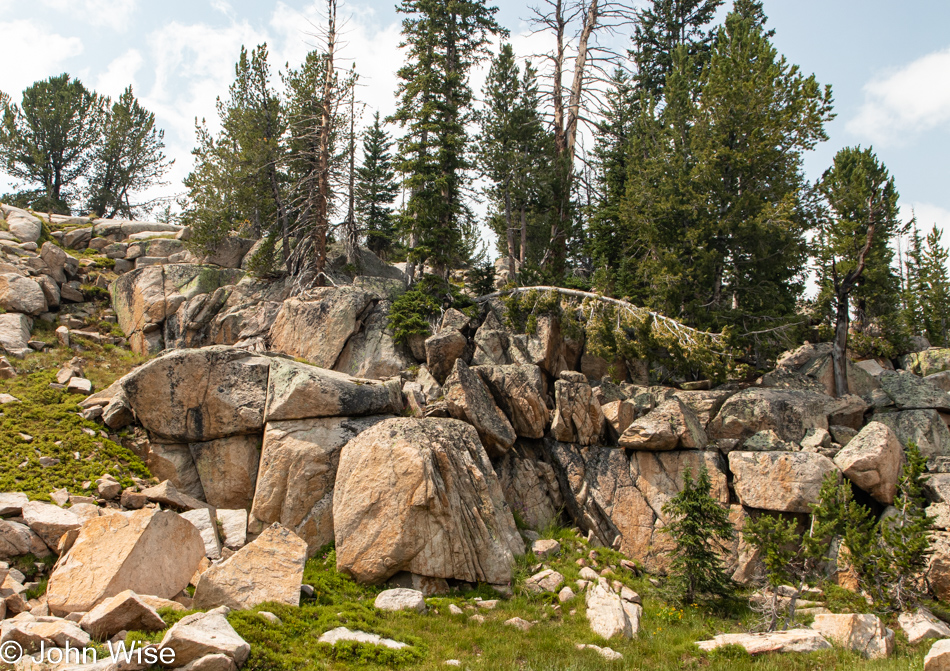
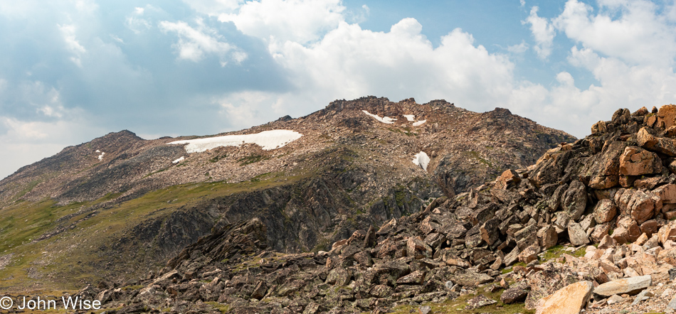
I should share that I took very few notes about this day while Jessica and I were out on our road trip, and so here I am eleven days later, looking at the images and considering what I want to say and finding it difficult to grab words that will be vibrant enough to convey how profound things appeared. This tight crop betrays the nature of what’s up here, though maybe that’s a good thing as it should press me even harder to bring Caroline on a return visit with the hopes of catching this range on a clear day.
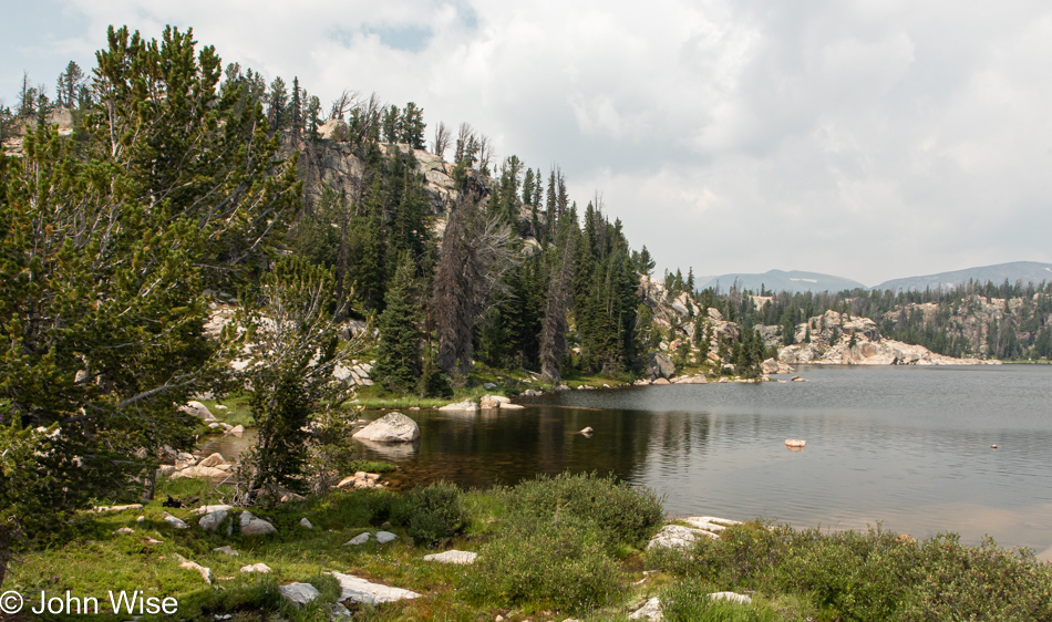
I shot this as a panorama, but the blue haze towards the right of the lake obscured too much, so here’s the left corner. With this final bit of lament regarding air conditions, I’ll try to move on.
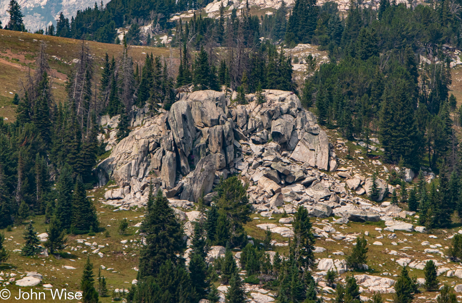
Every corner up here in the Beartooth Mountains begs the visitor to leave the car behind and go for a hike, but without knowledge of trail length, bear spray, or even somewhere to pull over, it’s not so easy as just venturing into the landscape. If a return visit is ever going to be possible, it should be with the idea that we will remain in the area for three to five days with a number of trails already selected.
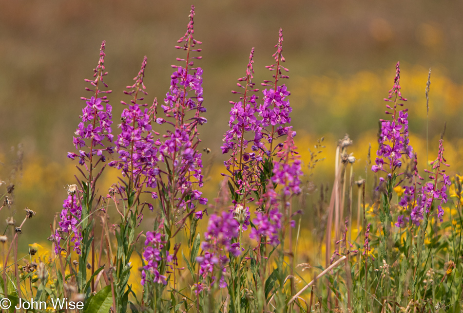
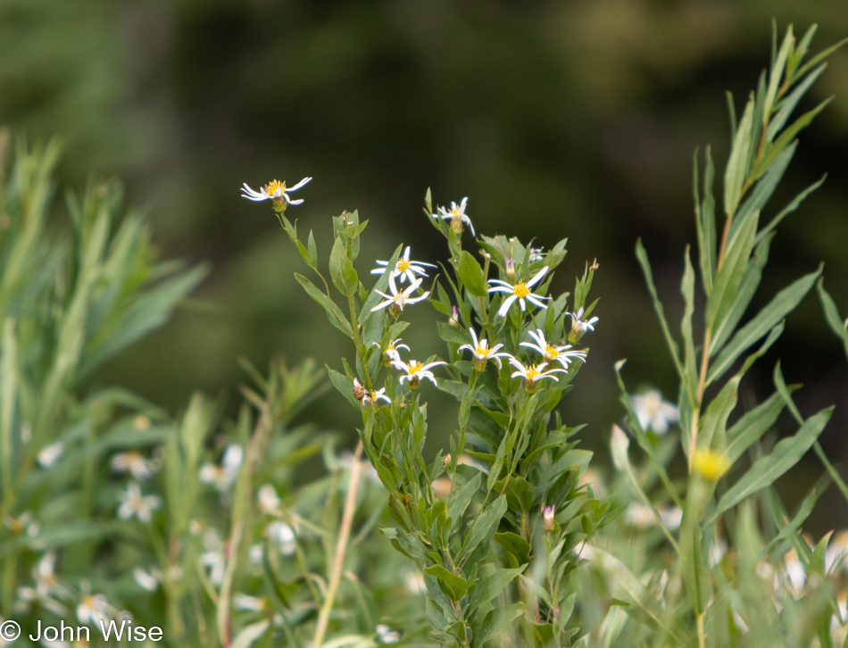
Like our visits to the glaciated area along the Alsek River in Canada and Alaska, I’m in awe at the profusion of wildflowers which have the briefest of windows to explode on the scene before the snows begin to fall again and the days grow short.
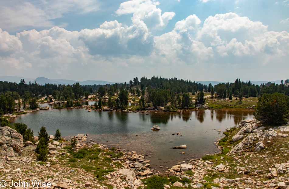
Why isn’t this area a national park? I’m guessing that the main reason would be that the designation would then require a better effort to offer visitor services in a place that might only be intermittently visitable for 60 to 90 days a year. Jumping ahead in our drive through here, I got the impression in Red Lodge, Montana, where we were staying for a couple of nights, that there are parts of the Beartooth range that are accessible for a good part of the year. So, the problem of access might be restricted to the highest elevations and coming in from the southerly entrance.
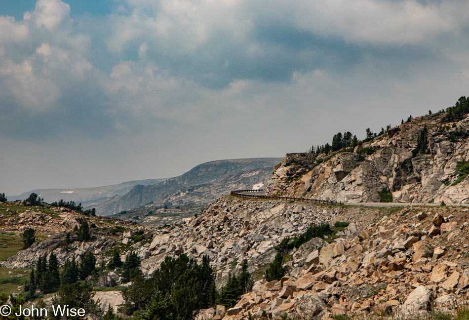
If you suffer from a fear of heights, avoid this road. Being simultaneously drawn to look out at the horizon and demanding that I maintain tunnel vision can produce moments of panic as it feels like my eyes are drawn too deeply into what lies beyond the safety of the road.
Live cams need to be placed throughout the area, or better yet; I need to photograph a couple of dozen or more locations once a month for a year so everyone can see how these places change throughout the year.
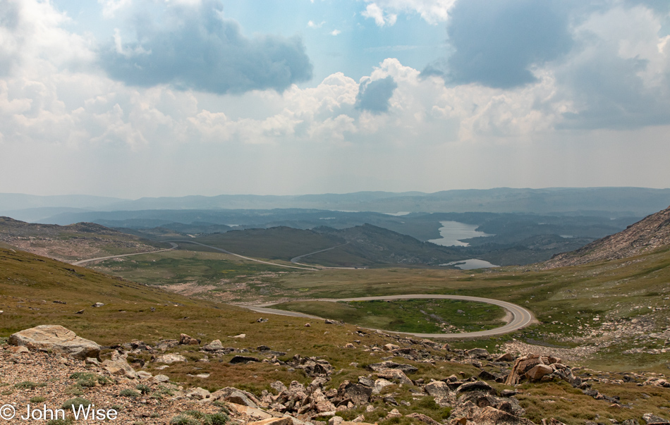
One has to wonder why this road is even here. On one side is Cooke City, Montana, and entry to Yellowstone, but there are plenty of other ways into the park. On the other side is Red Lodge, Montana, with a small population of 2,200 that really doesn’t gain a thing having this road wend its way through such treacherous terrain. That must mean that this road is only here for the pleasure of those few travelers who learn about its existence and need to revel in such extraordinary sights.
Along the road, we encountered a construction site where a primitive single-lane dirt road must be navigated behind a pilot vehicle that takes us past a bridge being built. $27 million in improvements elevate the roadway over the landscape so animals will have a better path through the environment. As construction can only proceed during the short summer season, there’s no completion date in sight, but when it is finished, it promises to add to the nail-biting experience of being out on the edge of the earth.
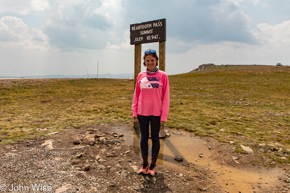
We are obviously above the tree line here at 10,947 feet (3,336 meters) above the sea far below. Sorry, but I must lament that with the Sturgis Motorcycle Rally starting soon, the roar of the bikes hauling ass up here is a bit annoying. Of course, to them, the incredible vistas make for an exciting ride, but those who get out of the car and want to spend a moment in admiration of the solitude in such a remote area find it difficult with the constant racing by of so many bikers. Not only do we hear the noise of their stupidly loud exhausts, but we must also contend with radios blaring classic rock and country anthems.
To belabor the point, this public performance of these songs from motorcycles is my equivalent of hearing the Horst Wessel Song on a hike through the Zugspitze in Germany. Mountains are for quiet contemplation, not listening to AC/DC sing Thunderstruck or Lee Greenwood asking God to bless the U.S.A. Yeah, I’m that curmudgeon.
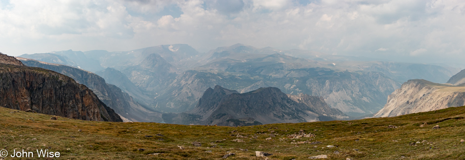
The expanse is nothing short of awe-inspiring; the scale exceeds any ability of the photograph to portray what is seen beyond the haze. For the rest of our drive out of the mountains, the weather was turning dark due to storms in the forecast, and I just wanted to exit the strenuous side of the drive, so this was the end of photos.
Arriving in Red Lodge, Montana, it was raining as we checked into the hotel, but we were quickly gone to find a restaurant. Just a few minutes later, the rain stopped again, and instead of grabbing a bite to eat, we dipped into the local coffee shop that was closing at 6:00 to catch up on some note-taking and ensure we’d be awake past 8:00 p.m.
Dinner was at Piccola Cucina Ox Pasture Italian restaurant. What this place is doing in a town of 2,200 is beyond me, as their other locations are in New York City and Ibiza. Real and I do mean real Italian cuisine is to be found here. When I ordered the Cacio e Pepe I would have never dreamed that they actually make their pasta here locally and that my dish would be served from a cheese wheel at my table instead of a plate of something they call Cacio e Pepe.