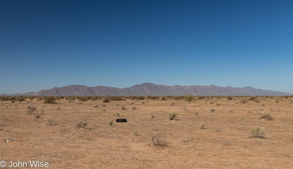
I’m not exactly motivated to make these travels, but the rut I have fallen into at home, while not debilitating, is not as productive as I’d prefer either. By pushing myself down the road to take photos and consider what I am thinking is an exercise to force a change of habit.
I sketched the idea of where the road would take me today before I left home instead of just pointing the car in some direction and going. I’m heading down to Maricopa to wend my way through Native American lands. A semblance of a route had to be known beforehand as signage on Indian roads is not always ideal. Once off the freeway, I was briefly on the Gila River Indian Reservation and on my way through the desert mirage known as the city of Maricopa. There are no photos of that place as it’s a generic abomination of everything that typifies the worst architectural and planning decisions here in Arizona.
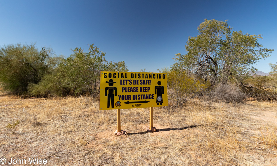
The radio and music are off in order to maintain as much quiet as possible while also forcing me to listen to what’s going on in my head. Come to think of it, the silence is a kind of social distancing of me from digital and broadcast media. Before ever reaching this edge of the Tohono O’odham Indian Reservation I had to pass through the gauntlet of feedlots with 10s of thousands of cows. I can be happy it’s not summer yet.
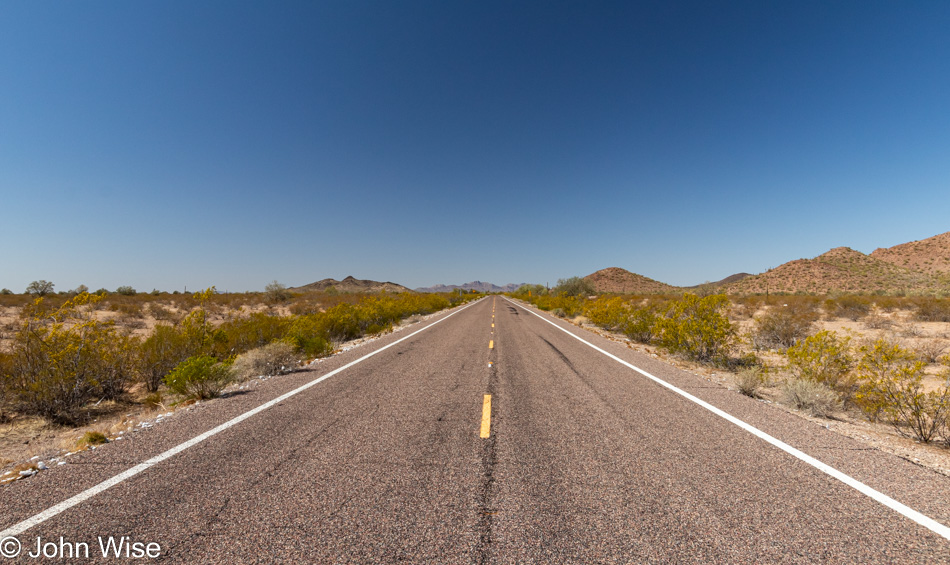
On some stretches of the road, there’s not a lot that differentiates the landscape, not that this should diminish how visually engaging it is all same. It’s easy when I’m not pressed by other drivers racing up behind me to crawl along, barely maintaining 35mph in an area with a 65 mph limit. Many of these notes were taken while stopped in my lane as there are few places to pull over. To keep any stress at bay, when I do see someone less than a mile behind me I’m already scouting for a sliver of gravel to pull over at and wait. Chances are good that it will be another 5 or 10 minutes before another car is in my rearview mirror.
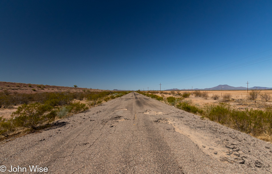
Barely paved best describes one of the roads that my GPS suggested I turn on. While I knew I wanted to stay on Route 42 to North Komelik, this detour on an unnamed road proved interesting. I probably don’t need to mention that I was the only person on this entire 5 mile stretch of road.
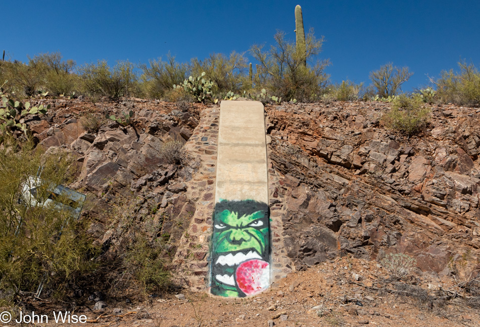
While I was out here I had no way of determining exactly where I was. It turns out this is the site of the Tat Momolikot Dam that at one time held back Lake Saint Clair that no longer exists. I wonder how many people will ever see this graffiti of Hulk snacking on a prickly pear?
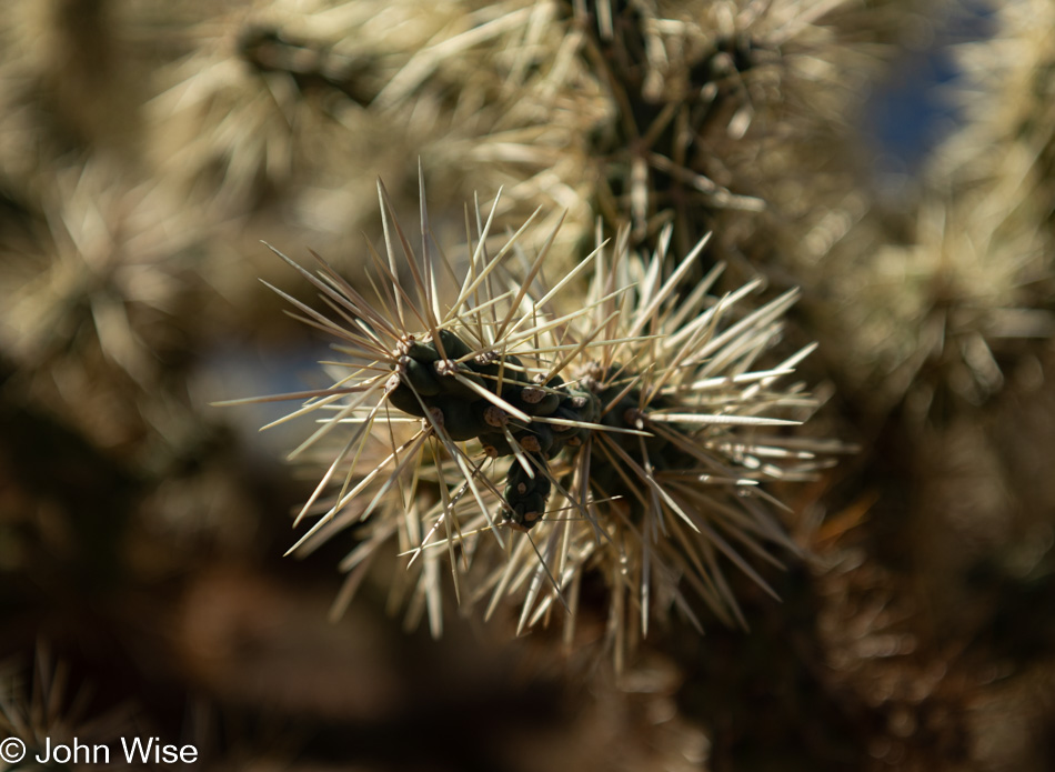
Teddy bear cholla cactus is in abundance down this way and while it’s beautiful I tend to watch where my feet are stepping as the spurs of the needles are known to grab hold of everything to hitch a ride, hence their unofficial name of jumping cholla.
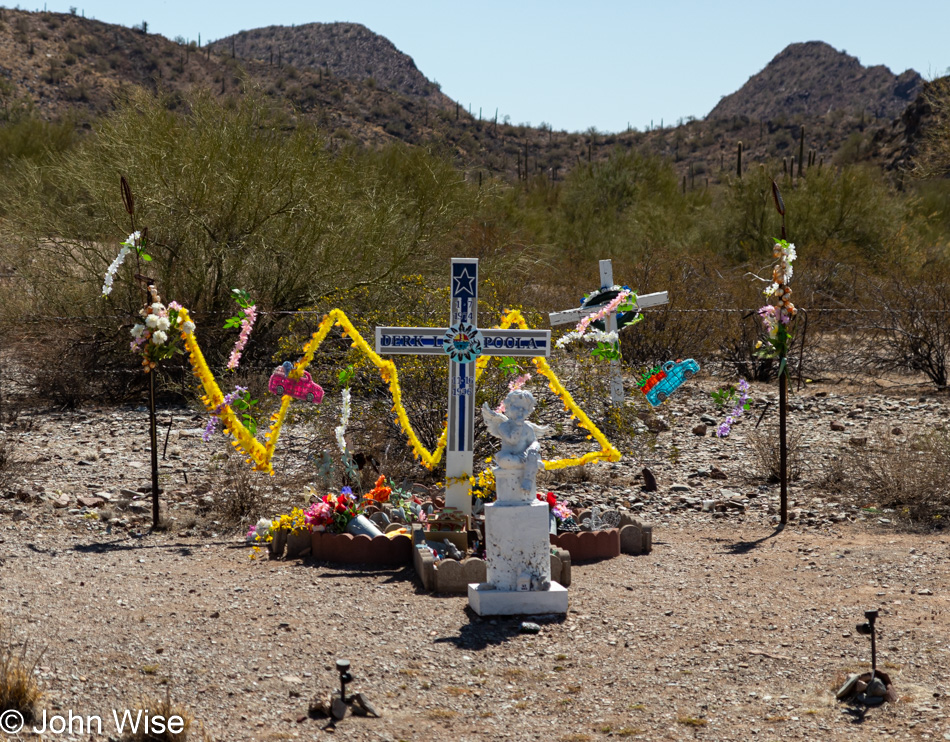
On Indian Route-15 there were too many shrines for those who died on this road. This particular monument is in memory of Derk L. Poola who passed away back in 1996. If I told you that there is at least one memorial per mile on average, it would not be an exaggeration. Sadly, there’s no accompanying story of what happened when the person lost their life on this desolate road. There’s no roadkill to speak of so it wasn’t like a deer jumped in their way. Not many, if any, sharp turns are out here either, leaving either drugs, alcohol, or falling asleep. Whatever the cause, this is a visceral reminder that this stretch of highway eats souls.
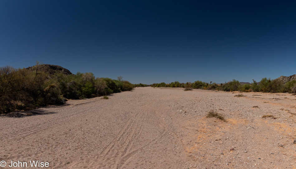
Near the turnoff to Santa Rosa on the Tohono O’odham Indian Reservation is where I photographed this dry river bed. Upon getting home I tried to see if it had a name, but it appears that it is only an unnamed wash. Speaking of, there have been lots of signs warning of flash floods and I could imagine that during the monsoon season this region sees a goodly amount of rain. Short of getting trapped on a small amount of high ground, I sure would like to be right here during a downpour.
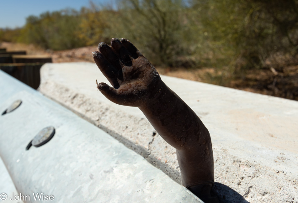
Heading back to my car this friendly amputated baby-doll arm was waving at me or was it wanting to high-five me? I went for the high-five and felt empowered by the disembodied random hand jammed into the barrier that someone must have sensed was needed here on the side of the road for the wellbeing of passersby.
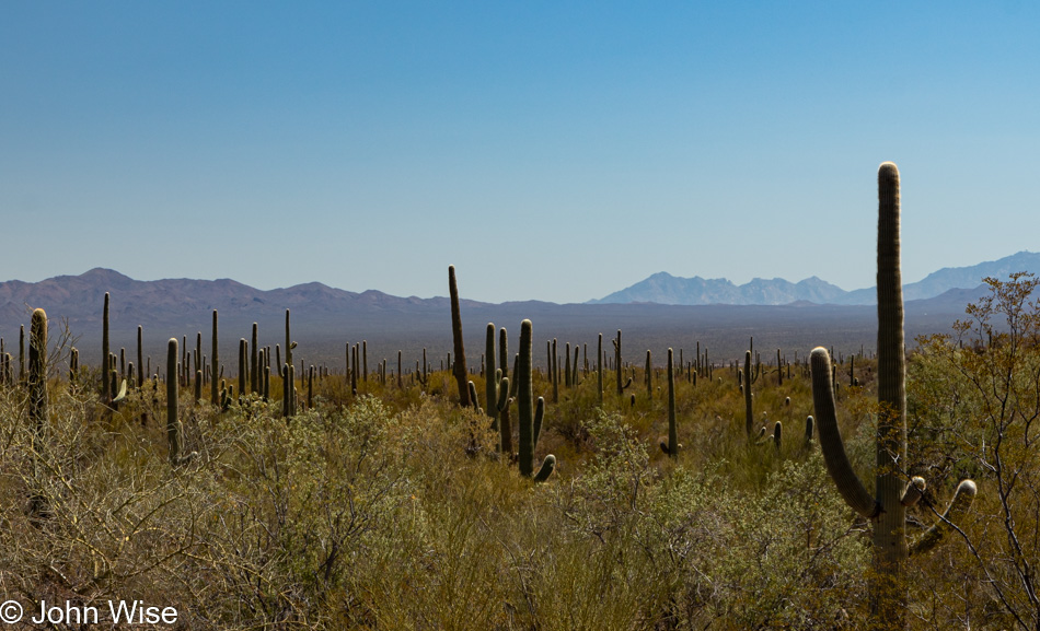
There’s so much cactus out here that there’s little else to think about than cactus and the hope of seeing a snake.
At the intersection of Hwy 86 and Indian Route 15 is the Gu-Achi Trading Post, a good place to stop for a homemade burrito and drink before continuing on the dusty road.
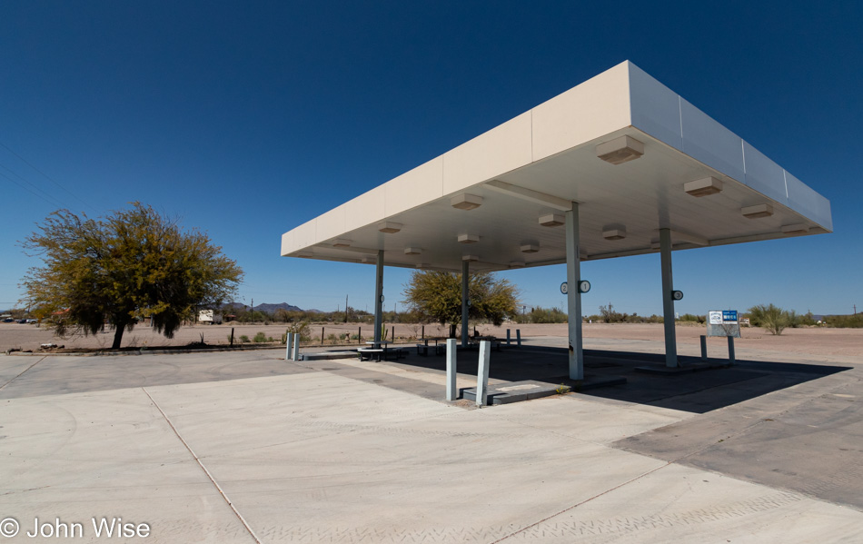
I stopped at an abandoned gas station at the intersection of the 86 and the 85 in Why, Arizona, because abandoned anything is always of interest. The payphone out front is still intact and not full of graffiti but it doesn’t have a dial tone, I wonder how long it is before no one knows what a dial tone was? A sign across the street lets me know that I’m 93 miles from Rocky Point in Mexico or just 27 miles from the border. Sometimes I forget how close to our southerly neighbor we live.
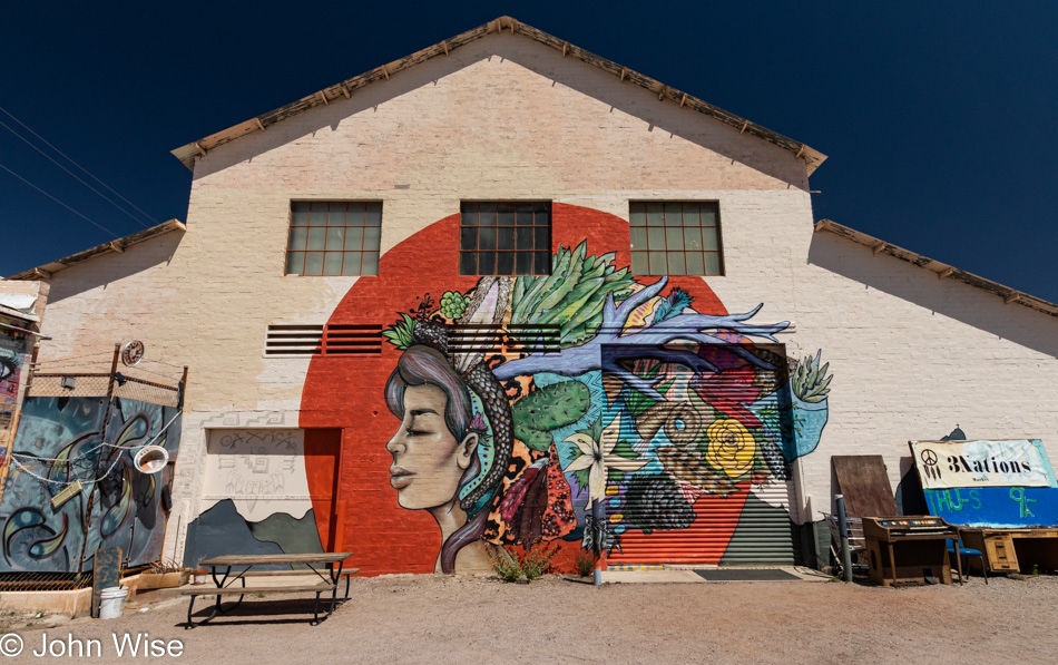
What’s the story of Ajo? Lot’s of empty houses, storefronts, and lodging but it’s not broken into or falling to pieces. Why was this such a happening place back in the day? Like many towns outside of Phoenix, Prescott, Flagstaff, and Tucson, Ajo was founded on the possibilities offered by mining. That potential dried up when the last operations ceased in 1985.
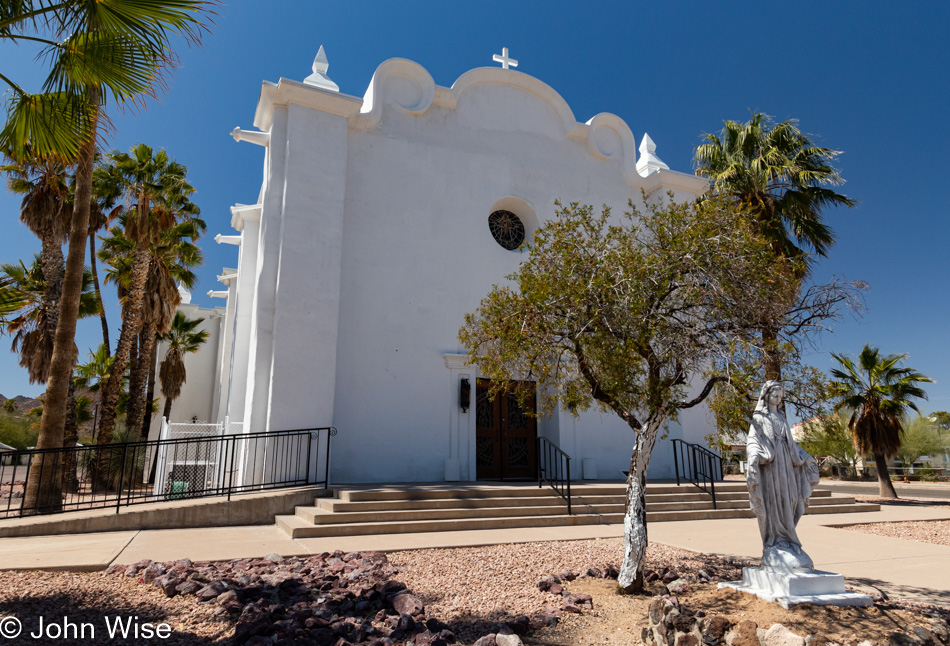
Ajo is only 38 miles north of Mexico and more than 100 miles either east or west from Tucson and Yuma making it perfect for Border Control agents who have taken to making this old town their home.
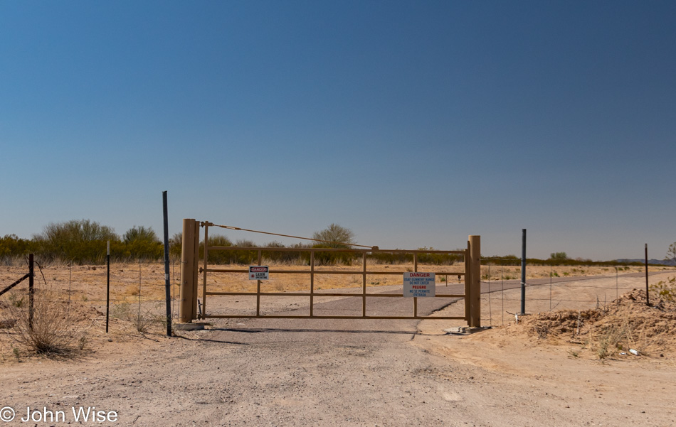
From Ajo, it’s a straightforward drive through desert scrub next to the Barry M. Goldwater Air Force Range. While I scanned the skies looking for bombers or the lasers this sign warned about, I only saw more dirt, more cactus, rocks, and even more brown dead grass.
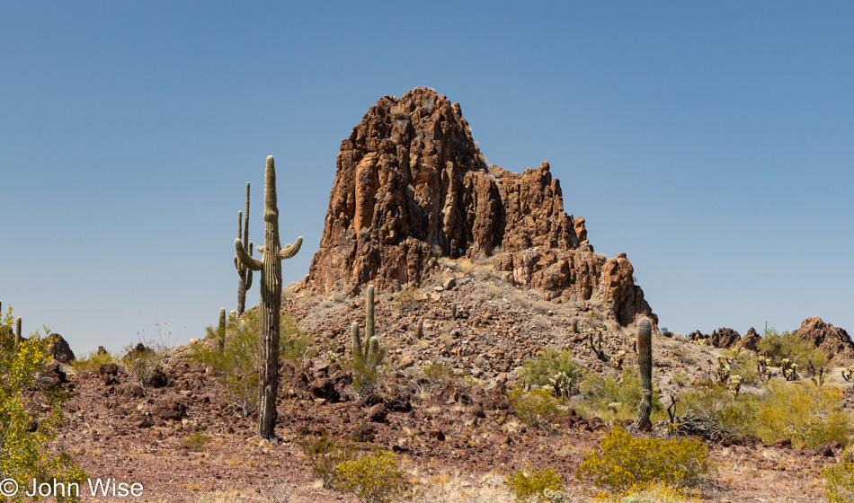
And then I came upon this scene forcing me to stop and ogle it before continuing to the ever disappearing town of Gila Bend.
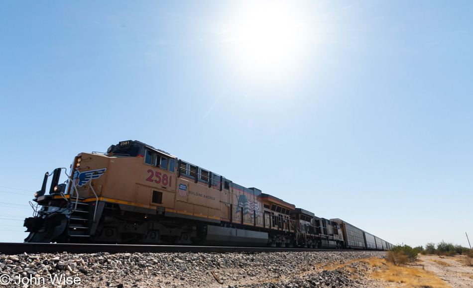
Maybe the best thing out here in Gila Bend is the train that runs through, oh, and toilets if I’m traveling with the wife.
One Reply to “Desolation Road”