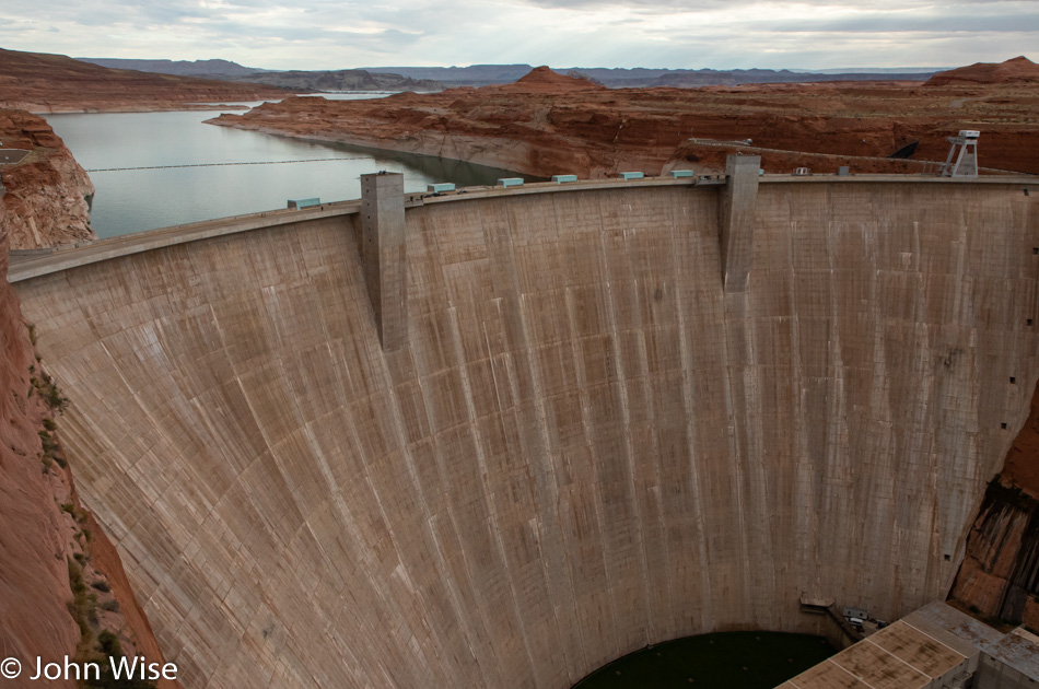
After a two-day pause in activities, so I could catch up on a few things, including getting ready to leave last night for a drive north, we woke in Page, Arizona, this morning. The ultimate destination for the day isn’t this far north, but getting up here put us in a good location for where we are going.
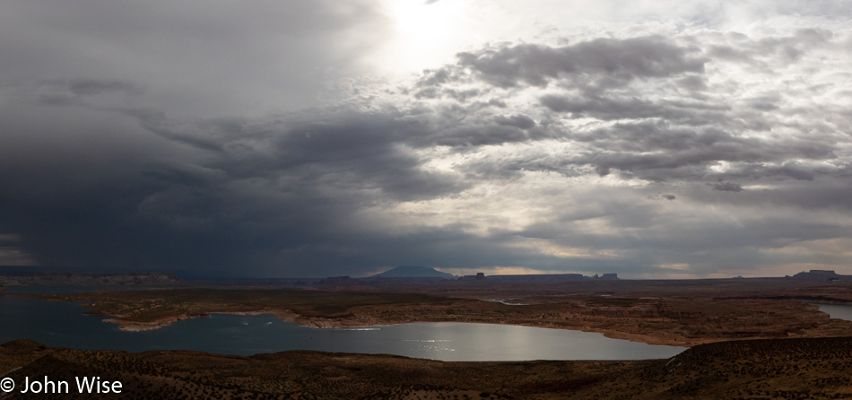
The decision was made by Katharina on exactly the path we’d take and that afforded us the opportunity to drive north up the western shore of Lake Powell. There wouldn’t be a lot of stops on the way as we wanted to spend more of our day in the park.
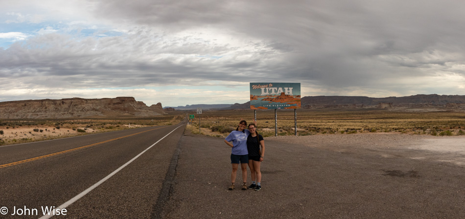
With our drive into Utah, Katharina has now visited every state in the four corners region. These states include Arizona, New Mexico, Colorado, and, of course, Utah.
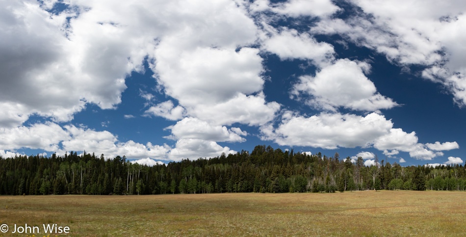
The meadows on the way into the North Rim of the Grand Canyon have always been beautiful spots to me, though impossible to adequately photograph. The extensive fire damage north of here was not so majestic, though it’s an obvious necessity for a healthy forest. Turns out that the nearby Kaibab Lodge is closed for the season due to an extraordinary amount of snow that damaged their property. Normal snowfall in the area is about 100 inches (254 centimeters), but this winter, they received over 200 inches or more than 5 meters.
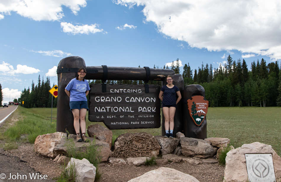
Visiting the North Rim of the Grand Canyon National Park today was very intentional. This time of year is tourist season and over on the other side of the Canyon are likely 100 times more visitors today than over here on the more remote side of the park.
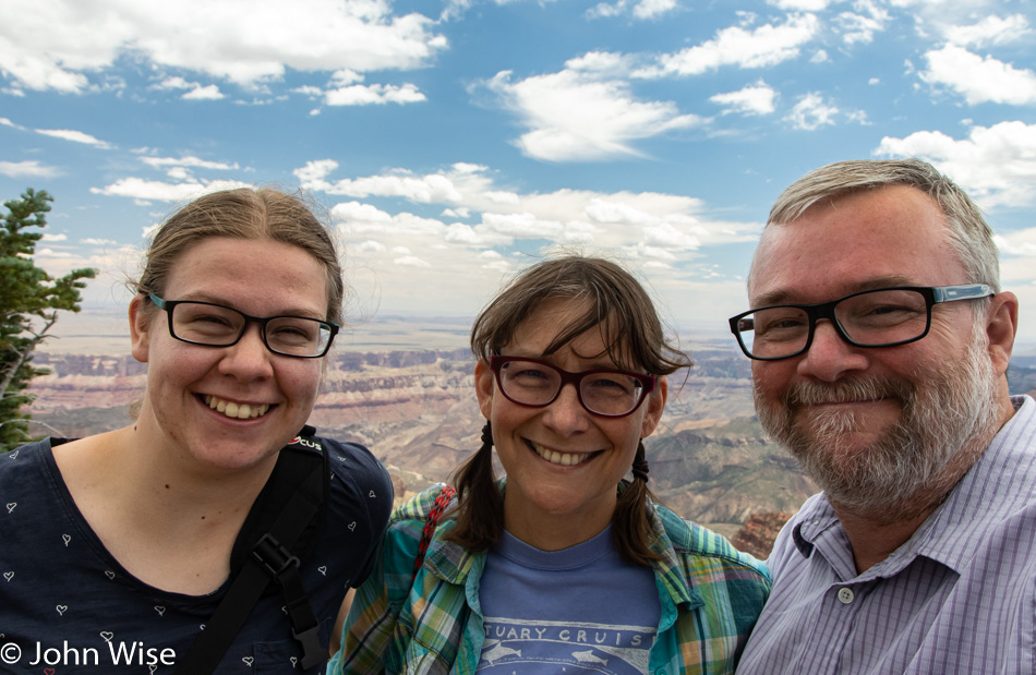
Here we are at the highest point in the Grand Canyon at Point Imperial, which towers over this park at 8,800 feet of elevation or 2,682 meters. For comparison, those who know the Zugspitze in southern Germany, its peak stands at 9,718 feet or 2,962 meters.
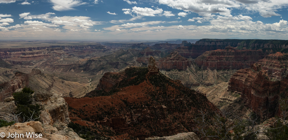
Here’s a better view from Point Imperial, which is behind us in the photo above.
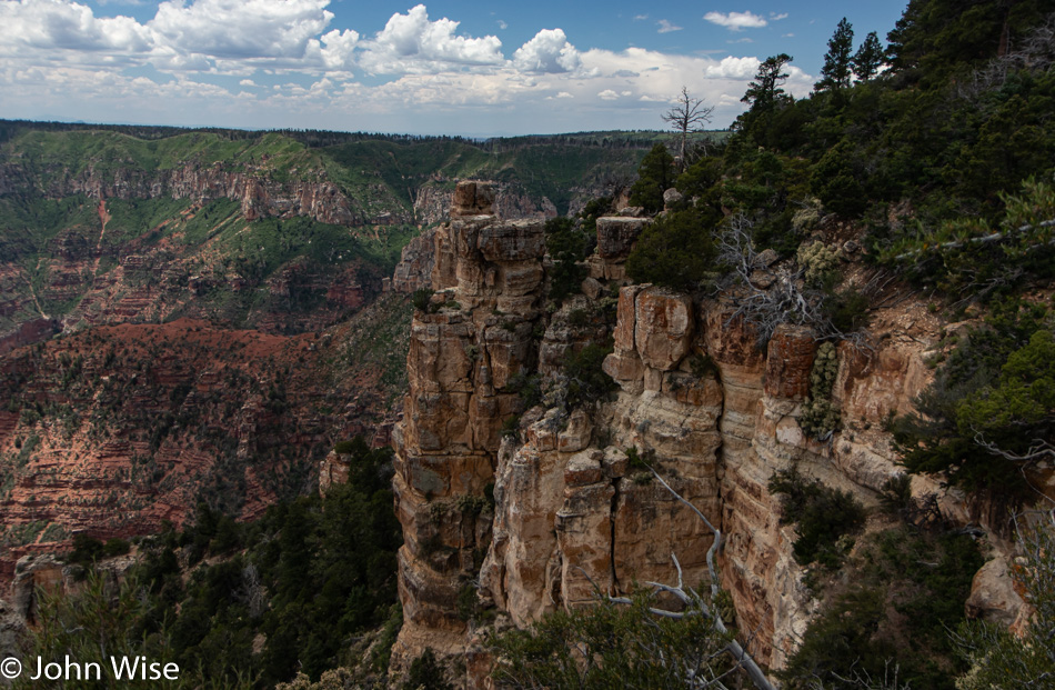
No matter where you look in the Grand Canyon, be it near or far, the view is always spectacular. Even bad weather can’t harm the view, but what can diminish it are photographs. Regardless of how I try to capture images here that have already been taken 100s of millions of times before, there are no photos ever taken that will convey the impression one gets from standing near or moving into the Grand Canyon.
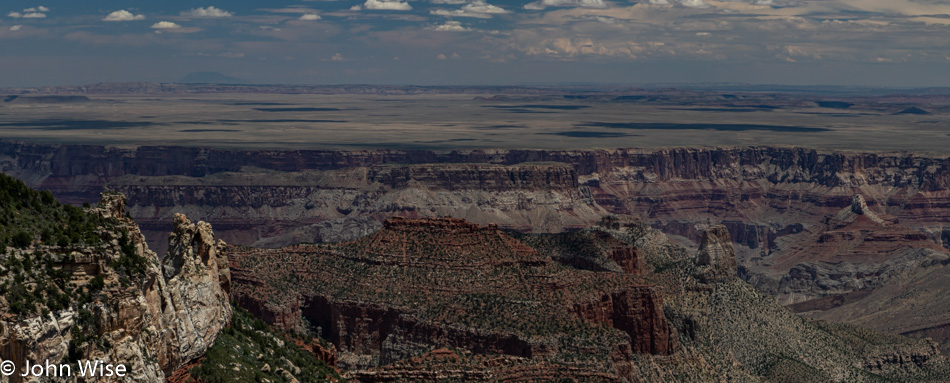
Cape Royal as it looked to us this day. I suppose the best we can do with our photos is to create reminders of what something looked like to us at a particular moment. For those who were here at sunrise or sunset, they saw different skies and shadows that made their visit unique to them.
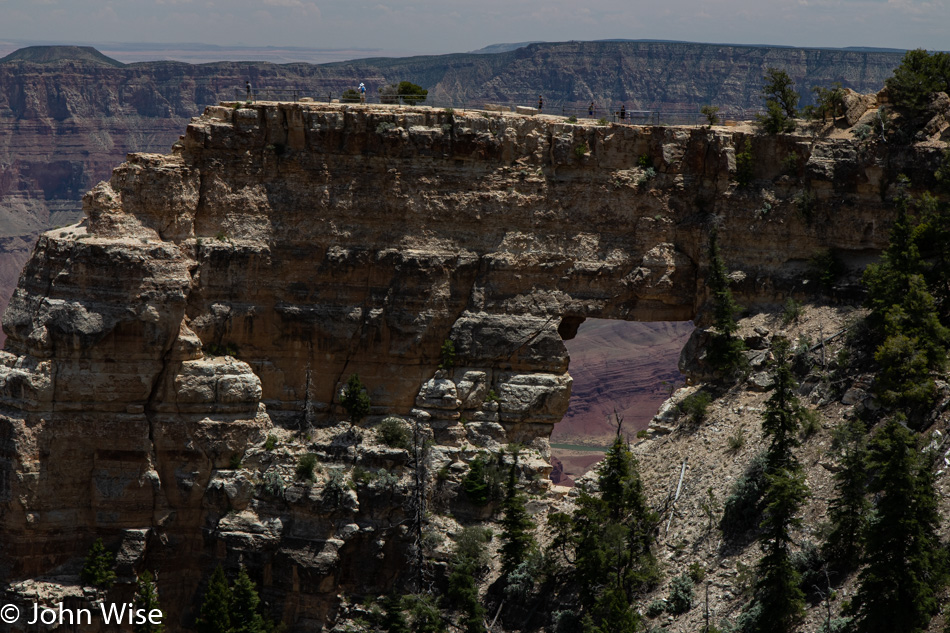
Through Angels Window, and likely not visible in this lower resolution photo, you get a glimpse of the Colorado River deep below. Those who might be rafting down there today likely passed the Little Colorado River or are still hiking out of the canyon where its milky waters join the larger Colorado. As the crow flies, that stretch of river is about 50 miles south of Lees Ferry, where the majority of river trips begin.
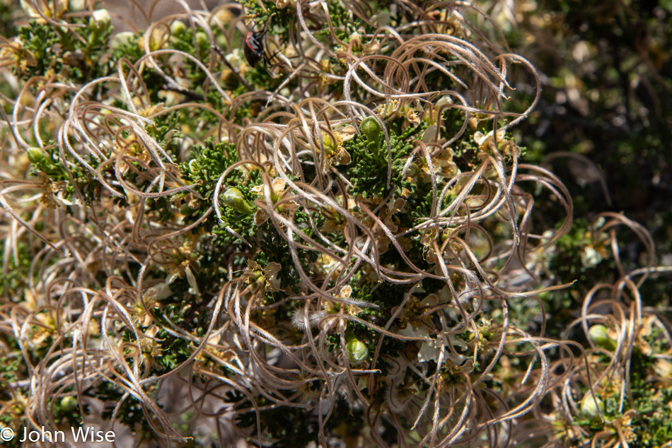
The cliffrose is in bloom, and if not for Caroline pointing it out, I might have only focused on the bigger picture and forgotten some of the details. I don’t always pay attention to what I say others should do, and I could bet a dollar that my wife wouldn’t disagree with that.
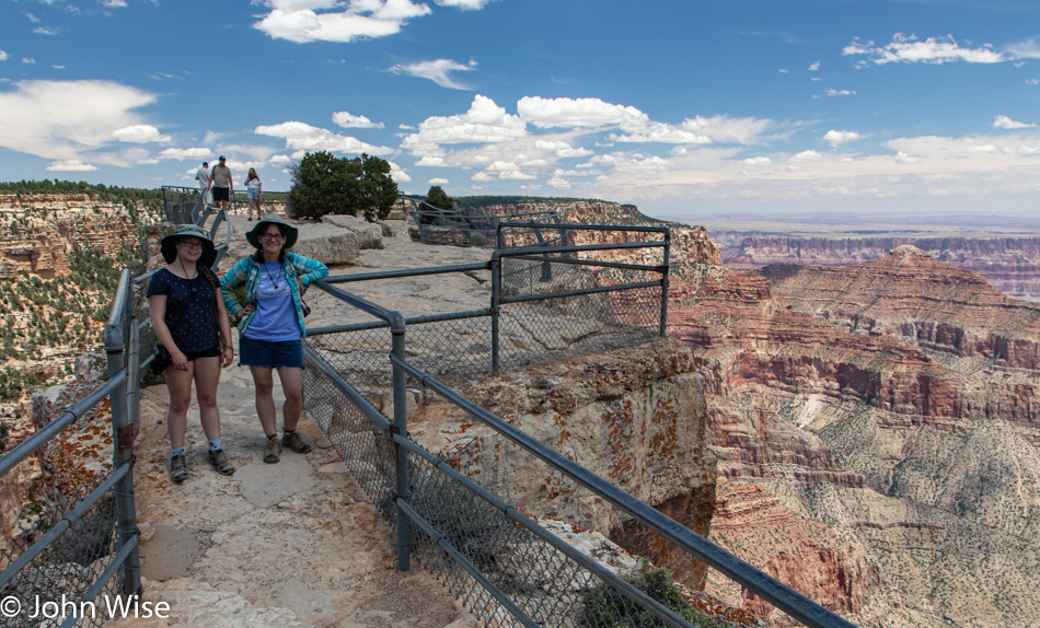
Walking out on Angels Window, it’s easy to forget that below you is a giant hole because on each side of this narrow trail that is less than 6 feet wide (2 meters), the drop-off grabs your attention, letting you pay close attention to the path and nearly nothing else. Well, that is, of course, if you have any fear of heights because this outcropping demands you muster the strength to face a serious threat to the senses that are screaming at you to leave.
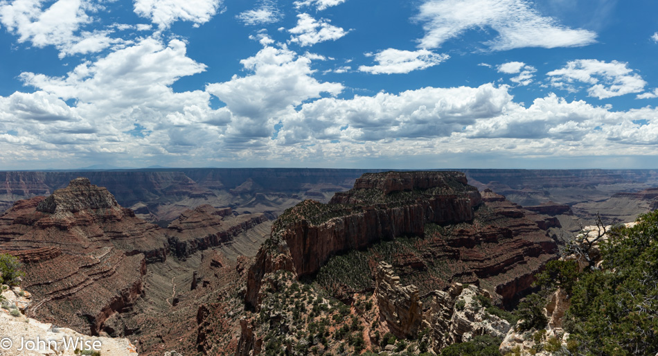
Walking out here at Cape Royal, we learn that Kat isn’t feeling her best. Maybe she’s a bit dehydrated, or maybe it’s the fact that she’s nearly 1,000 meters or 3,200 feet higher in elevation than she’s ever been before. Her uncertain situation gives me a bit of panic as I’m not accustomed to a fit 19-year-old having stamina issues, and since she is scheduled to ride a mule into the Canyon with her aunt tomorrow, I’m a bit nervous about the potential of her passing out while on a mule walking down a narrow trail where a fall can easily mean death.
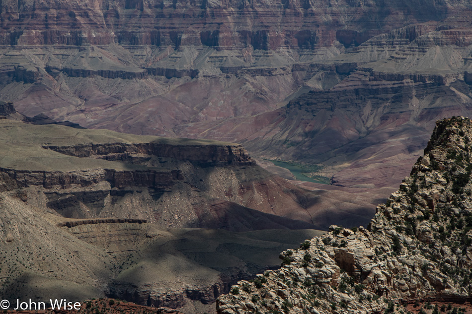
We made our way to the Grand Canyon Campground, stopping at the General Store to have a bite to eat and see how our niece was doing. We’re counting on her situation to be a temporary thing and with her reassurance, we decide to go forward with our plans.
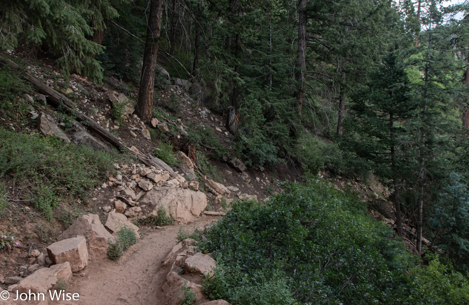
After checking in at Grand Canyon Lodge, where we scored a rim-side cabin with a partial view of the Canyon (this is not that view), we immediately headed over to the North Kaibab Trail. As Caroline and Katharina were going to be riding down this trail, I wanted to get some impressions of where I might set up to get some photos of them and came to the conclusion that the trail would not be optimal for me to get more than a couple of photos of them. Oh well, we had a nice walk down, probably about a half-mile, but it could have been significantly less as it only took half an hour to get back out.
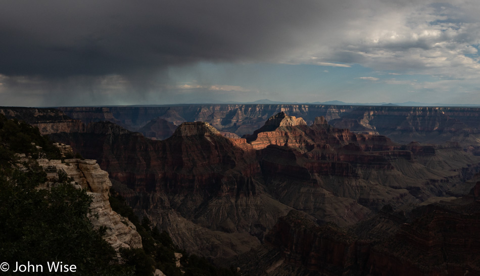
Looking towards the South Rim about 200 feet (60 meters) west of where our cabin is.
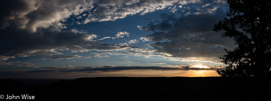
Our dinner reservation wasn’t until 8:15, but we managed to get a table earlier, and with food out of the way, we went out for a canyon rim walk into the sunset.
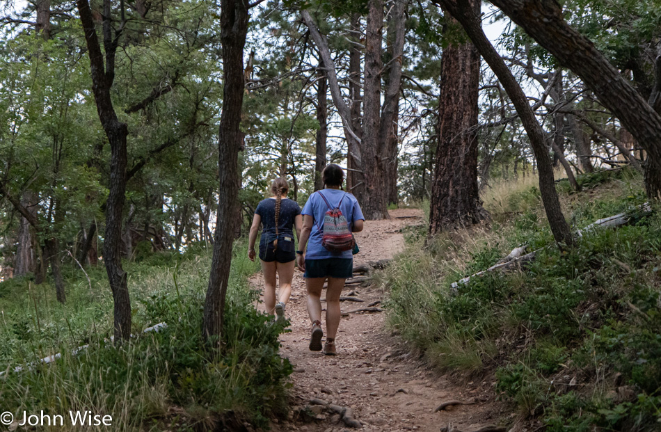
This is the Transept Trail that connects the Grand Canyon Lodge area to the North Rim Campground. The easy hike is about 1.5 miles (2.5 km) and is letting us work off dessert.
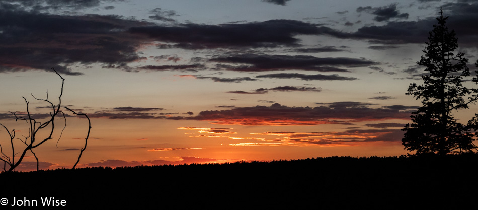
By the time we reached the campground, the sun was further down than this, and in the woods, it was nearly completely dark. Lucky us, an almost full moon occasionally lit our way down the Bridle Path that parallels the road back to our cabin. All-in-all the day was packed with experiences and impressions that I hope Kat can look back on with fond memories.