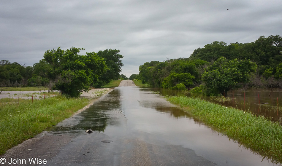
Things only got worse overnight regarding the flooding in this area on the borders between Oklahoma and Texas. We were told there was no chance of continuing north and that the Red River was unpassable to the south. Originally, our goal had been to pass through Medicine Lodge, Kansas, because I liked the name and then continue north to Great Bend, also in Kansas, which would allow us to connect lines on our map of the U.S. Our only way forward today was to try and go west, the operative word was “try” because we were warned that we may or may not find a way due to water spilling everywhere.
(I should reiterate that this post and the ones around it are all being written in February 2023. I didn’t post much of anything from 2014 through 2017 because I was preoccupied to distraction with the operations of my company TimefireVR.)
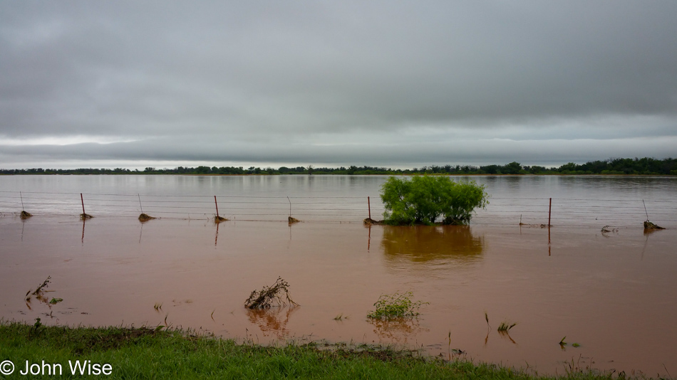
While the water that was crossing the road in the photo above this one didn’t look too deep, nobody else came along, so we couldn’t judge what the conditions were and instead turned around. We encountered a lot of flooded fields as Caroline tried to navigate us through the maze of rural roads.
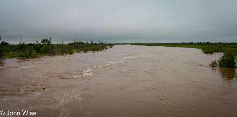
At times, the water collecting appeared to be a flooded stream or small river bed, but as it crossed roads, we deferred with extra caution and just kept hunting for a way westward.
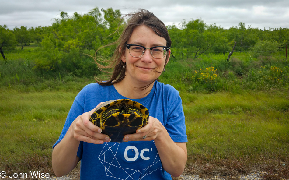
Thanks go to this magic turtle that offered us a way out by pointing the way. Though he was camera shy he stated that he’s always eschewed the limelight for helping humans on their path and stay safe.
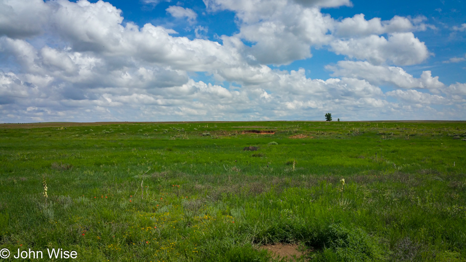
The middle of the Texas Panhandle was high and dry; we started to try and breathe easily.
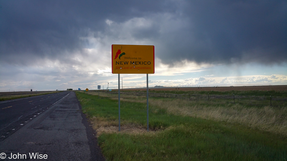
We passed into New Mexico between Texline, Texas, and Clayton, New Mexico, with the rain seemingly closing in on us. With this, our Kansas, Colorado, and Utah part of the loop was struck from the plan and now we were limping back home. Our destination this evening was still about 150 miles away over in Eagle Nest, New Mexico. Caroline had plans…