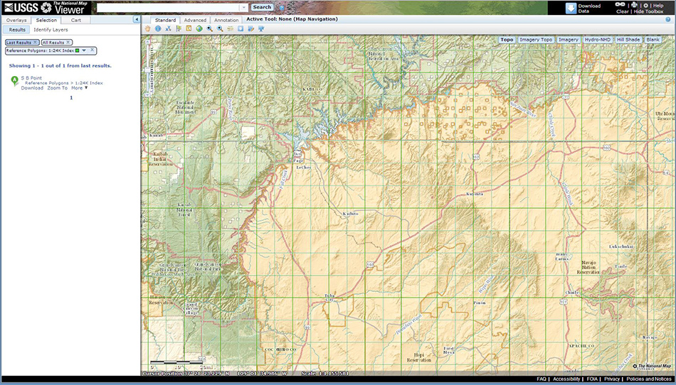
First up on today’s work is to visit the National Map courtesy of the United States Geological Service. There are dozens of different ways to view the terrain of our country, I need an elevation map. I click on the area of interest to draw a bounding box and end up with a massive area far beyond my selection; I’ll figure out those details later. I place my order and within seconds I have an email notification where I can collect my map. Wow, 353MB for the file, and it’s only a small corner of the Grand Canyon. Decompressed I now have almost 500MB of various files including a massive GridFloat file, numerous shape and .xml files along with a dozen other files for good measure.

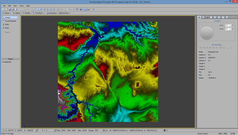
I load the GridFloat into TerreSculpt’s utility for converting the file into a Height Map. Not being a cartographer or GIS (Geographic Information Systems) specialist I am lost with the options I have to deal with the data. But I’m not done with it, next up it has to be converted to a .bt file (binary terrain). From there it can be imported into TerreSculpt proper and then exported again, this time as a Raw 16bit Binary Heightmap. Now it’s ready to be imported into another program.

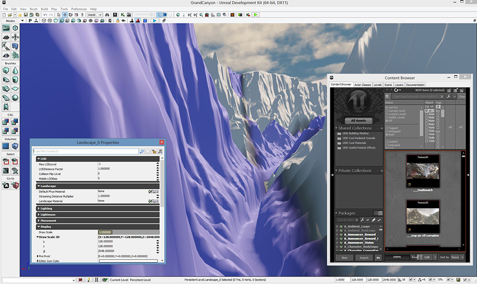
That program is UDK also known as Unreal Developers Kit. This is essentially a gaming engine, though who says one has to play games? Building this stuff is anything but a game. The landscape you are looking at is deep within the Grand Canyon near the confluence of the Colorado and Little Colorado; of course, this would be the first place I would go due to the influence the place had on me and my desire to one day share it virtually. I have to wonder out loud, how long will it be until I can put a boat down on the river and row down those 225.9 miles of churning waters in virtual reality? Seems to me that day is getting closer and closer.

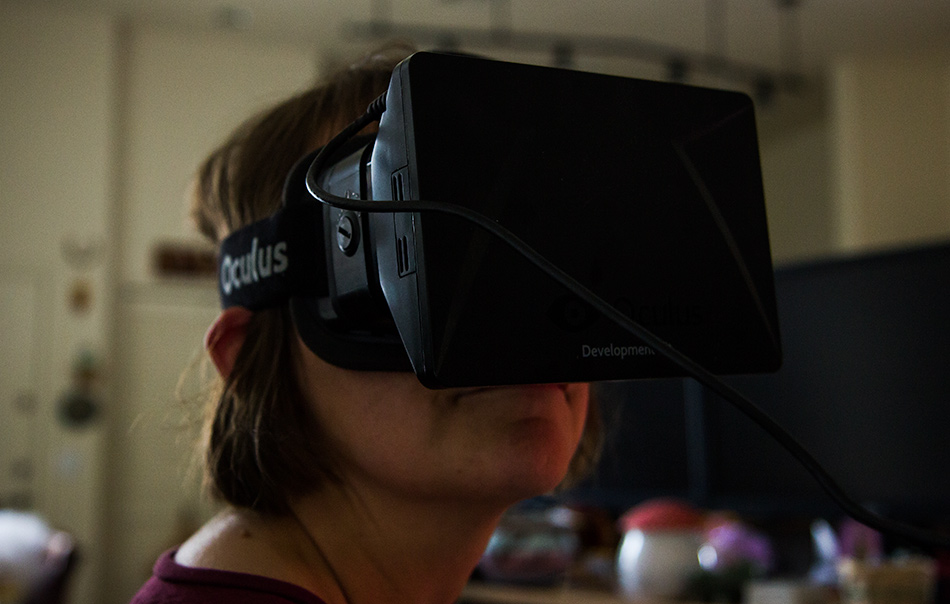
So close as a matter of fact that here is my wife, Caroline Wise wearing the Oculus Rift virtual reality headset checking out the Grand Canyon National Park – virtually!