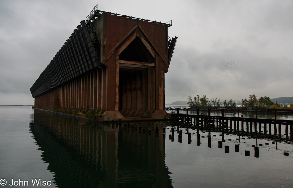
Our inclination was to turn around at some halfway point and retrace our steps so we might witness this perfect landscape all over again. I’m not sure who first broached the subject, but fortunately for us, one of us was strong when the other required strength to continue our journey forward. Caroline would share her certainty that continuing south was what we ought to do, and I would relent and agree that was the right course of action. Shortly afterward, she would begin to doubt her resolve and question if I still thought it was a good idea to return to where we came from and drive that Brockway Mountain road, but now I was certain we must continue according to our not having a real plan. As for this photo, we overnighted near this old coal loader here on Lake Superior in the northern town of Marquette.
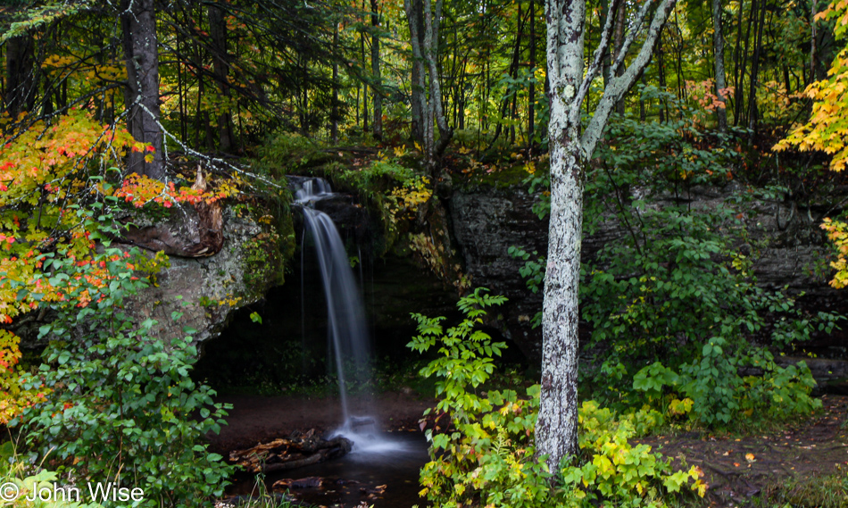
This day should act as a permanent reminder to never backtrack because amazing things are always to be discovered going forward. We are at Scott Falls and are just rolling into anything that looks interesting while keeping in mind that in 5 days, we have a flight home out of Chicago.
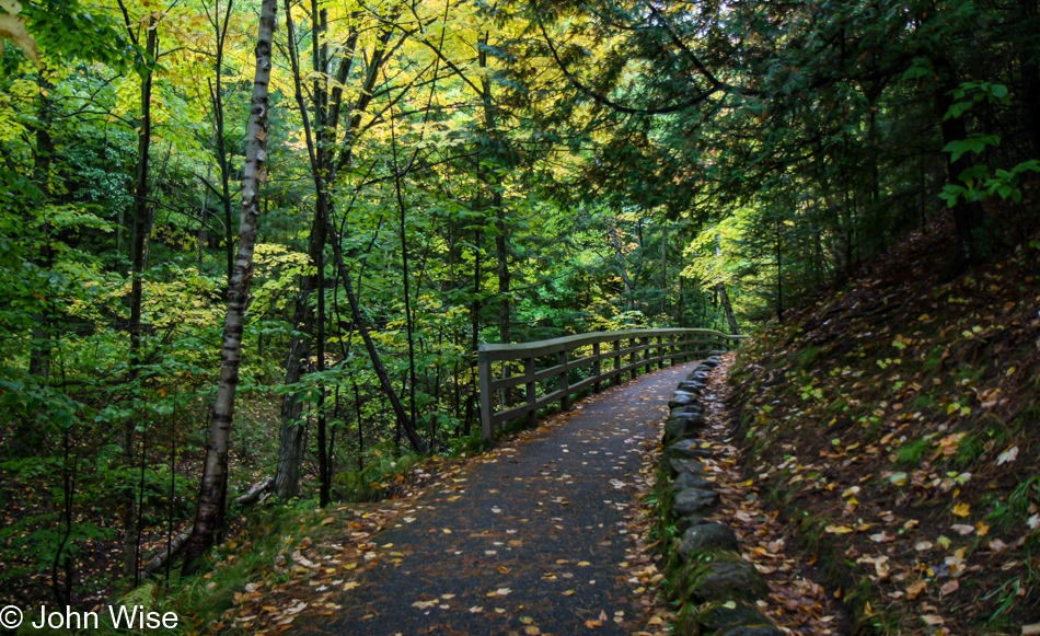
Following a paved trail for a view of the Munising Falls.
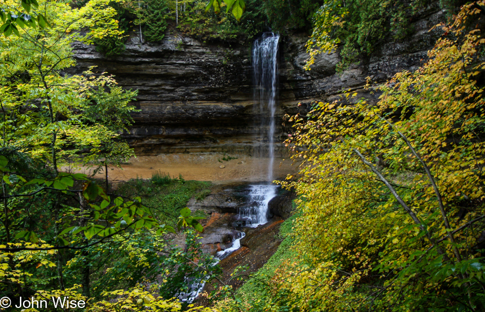
Traveling northeast from Scott Falls, it’s only 12 miles to this point near the lake, where these waters cascade over the edge to fall 50 feet to the ground below.
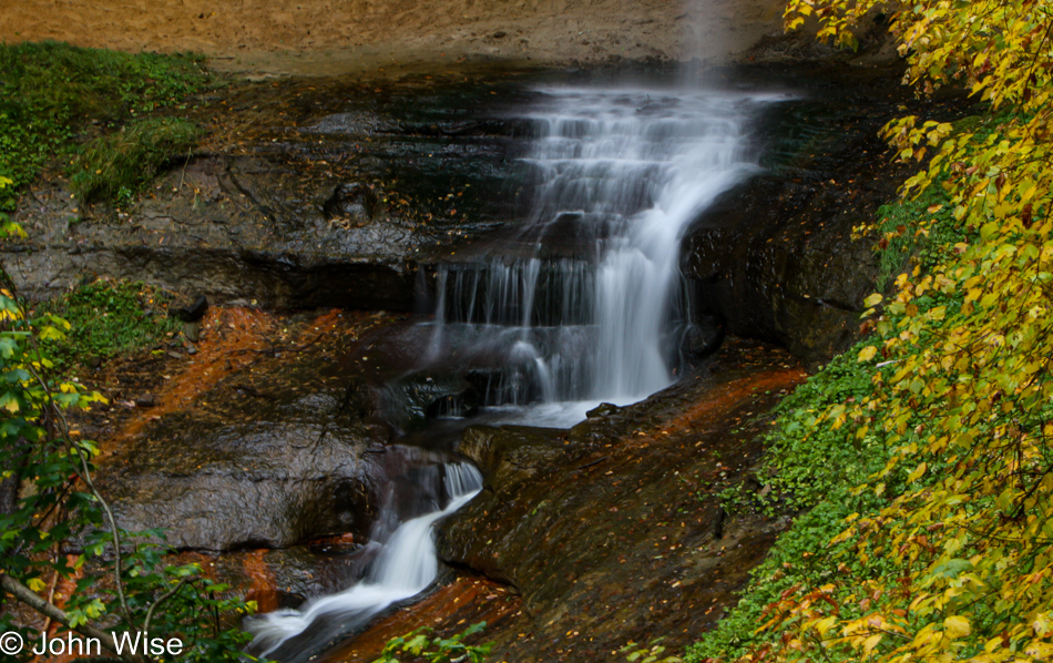
It turns out that there are more than a dozen waterfalls not far from the Munising area, but we are too aware that we need to move towards staging ourselves in the direction of our exit as the 13th will be shortly upon us. This is where succinct travel plans better spell out our possibilities.
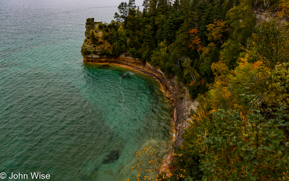
We will in no way do justice to this visit to the Pictured Rocks National Lakeshore, but like other trips into America, we’ll hopefully make note of this spectacular sight and one day find our way back.
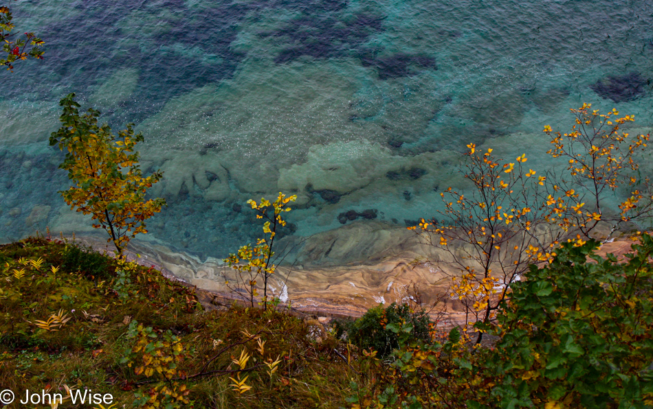
There’s so little I know about the geological and hydrological history that shaped these lands back when they were covered with over 3,000 feet of glacial ice, though I don’t think that takes into account the amount of ice below the surface. Regarding these waters here at Lake Superior, which is the deepest of the Great Lakes, they are the clearest of all the lakes. Looking for the depth of ice that helped shape this region, I came across this amazing fact sheet detailing some of the facts about their formation; you really should check it out.
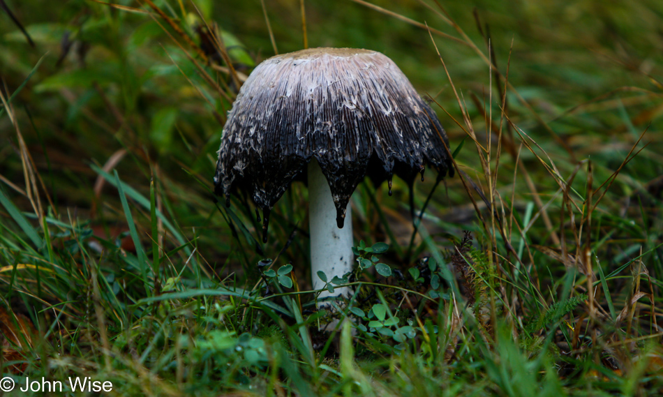
The first Inky Cap mushroom I’ve ever seen.
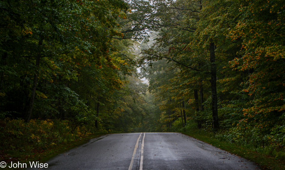
I can’t help but think that these hills are actually parts of terminal moraines.

A pastie with beef gravy, fried pickles with ranch dressing, and a bottle of Pabst Blue Ribbon; it doesn’t get more American than this as we celebrate the life of the Yooper.
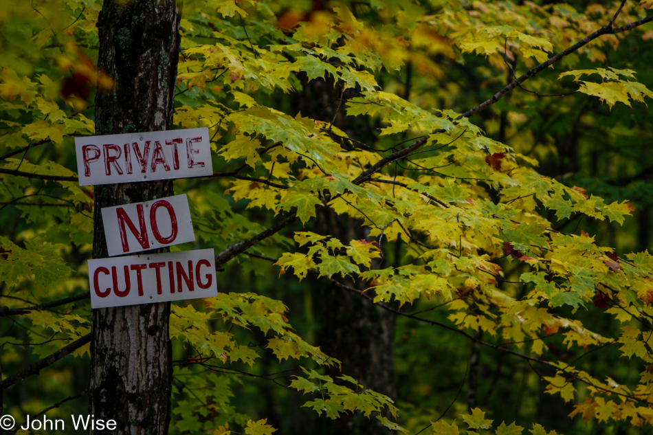
And back on the road heading to our next stop on this road trip to become acquainted with Michigan.
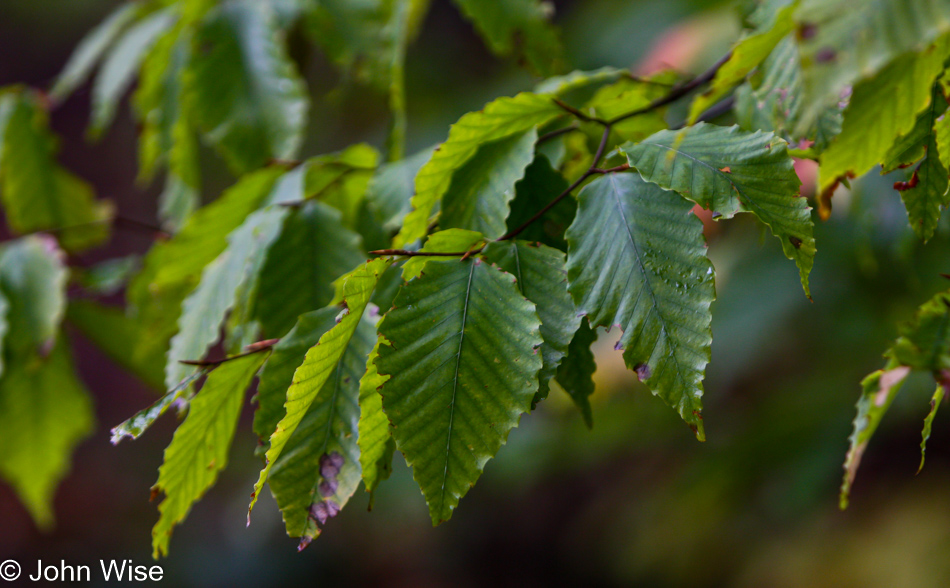
Here we are at the Upper Tahquamenon Falls State Park. Near the beginning of the trail heading to the falls is an interpretive trail showing us the types of trees that grow in the area. This is the American beech; pay attention, as we’ll be testing you at the end of this post.
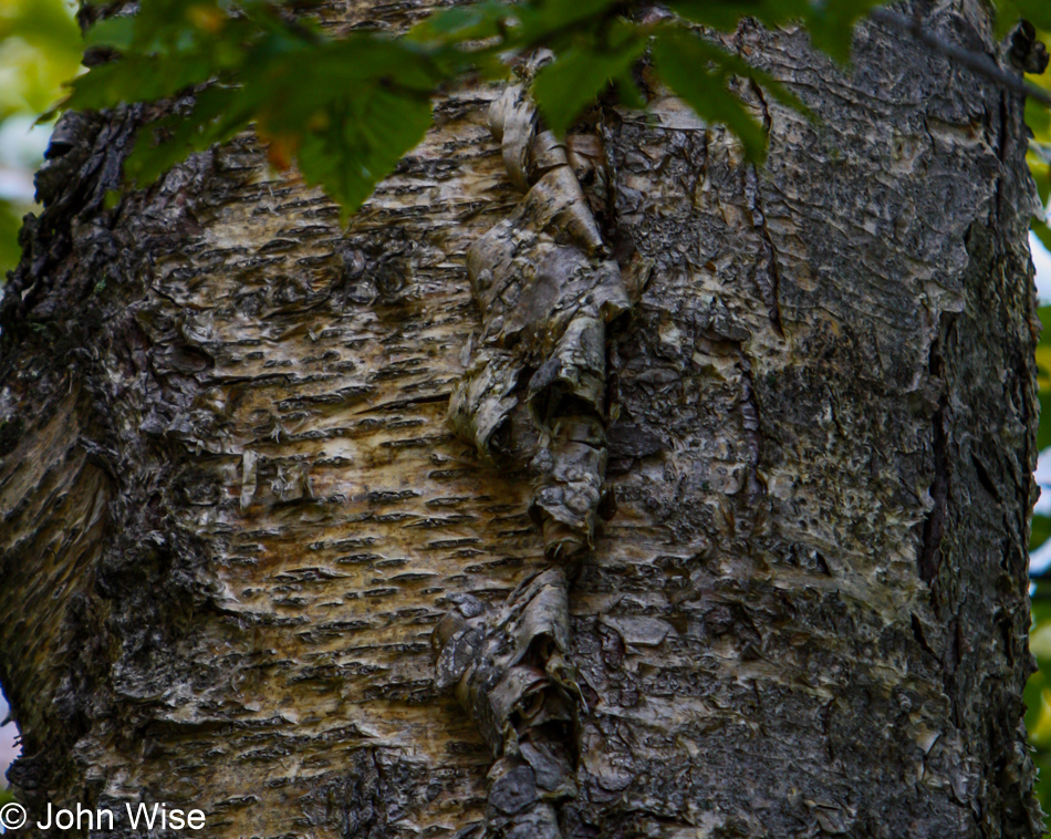
This tree here is yellow birch, which grows all over the region.
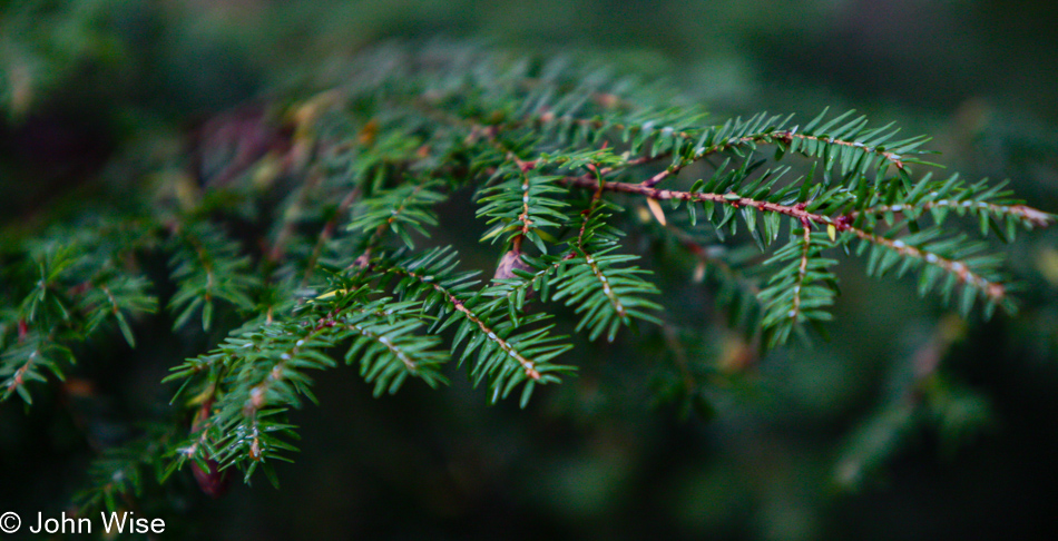
While these short needles are of the eastern hemlock.
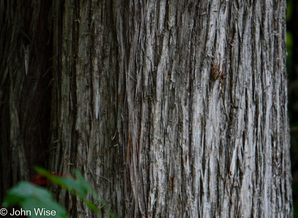
And with this bark of the northern white cedar, I’ll leave identifying the trees right here. I have more photos, but I don’t have enough words.
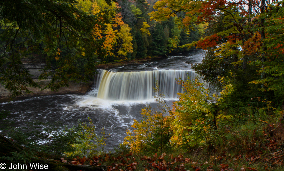
These are the upper falls of the Tahquamenon Falls State Park we’re in right now. I’ll just go ahead and share it right now that we also visited the lower falls, but those photos were weak so they are not included.
We moved from an overlook nearly in front of the falls to this one on the side.
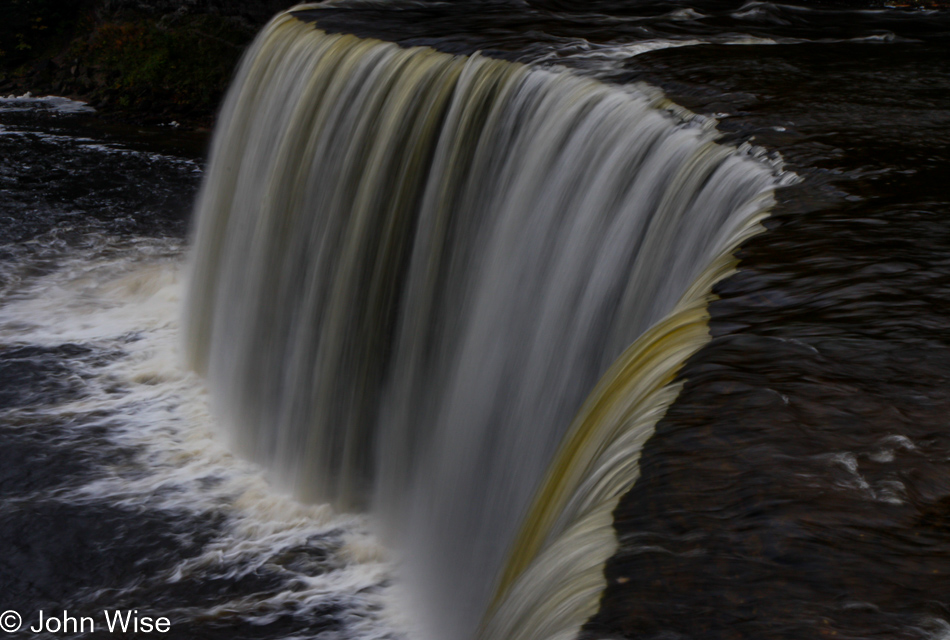
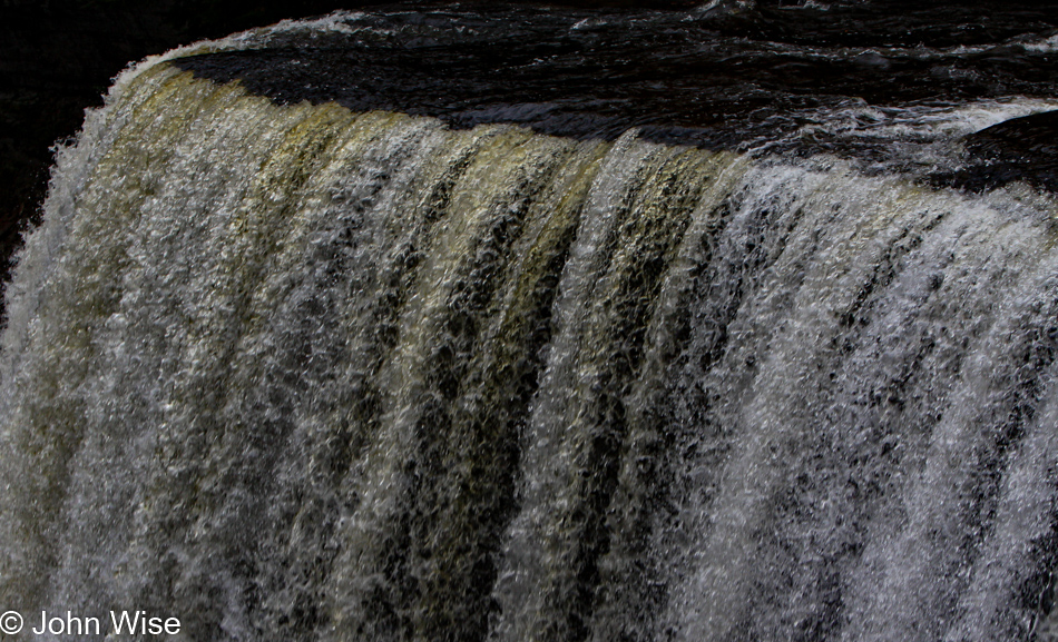
Compensating for not having the lower falls pictured here, I present you with a longer exposure and a different focal area of the photo I just shared above this one.
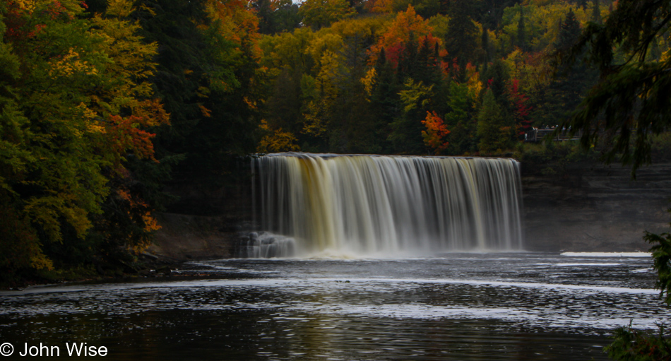
And then, from yet another perspective, here are the upper falls again. If you look closely just above the right side of the falls, you’ll see people standing on a platform where we were just minutes before we jumped into the fast-moving water and swam to this shore. Right, like that’s something we’d do?
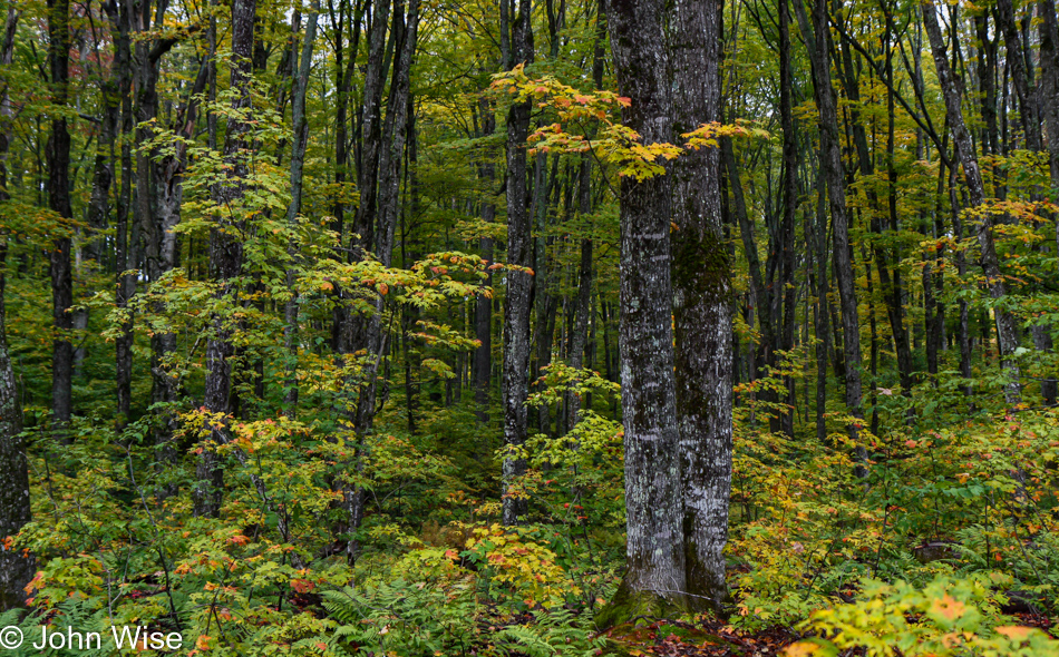
While the lower falls are not making an appearance, the walk to them was of a beauty certainly worth sharing.
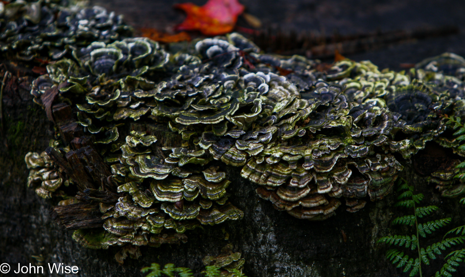
Never met a fungus we didn’t enjoy.
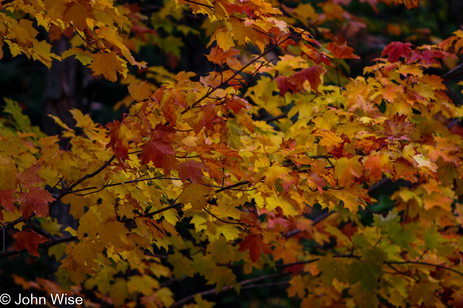
Oh yeah, before I lose sight of things by seeing only waterfalls and fungi, we are here for this leaf-peeping thing.
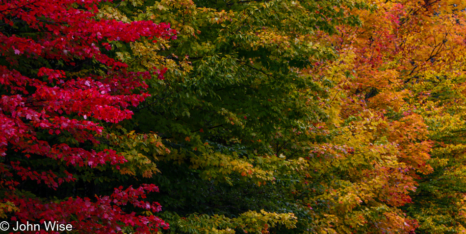
Ground rainbows that no one ever told us of are dotted across the Michigan landscape.
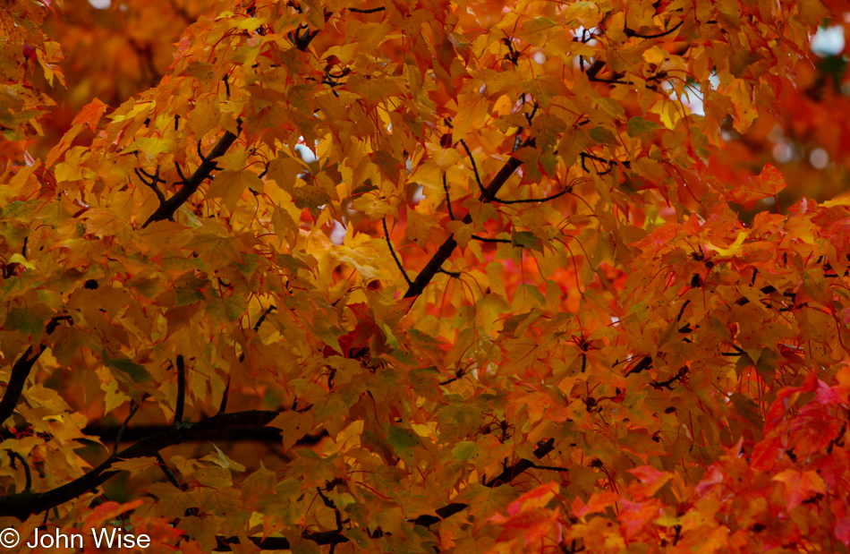
And when those rainbows give way to trees on fire, we can shift our gaze from trying to find leprechauns to basking in the flames of fall.
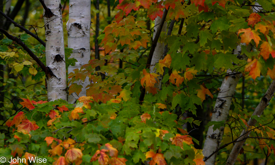
I keep photographing these things so I can bring even more of them along for my journey into me. Who doesn’t want wonderful memories of the sights and experiences that lent such defining moments to our sense of self?
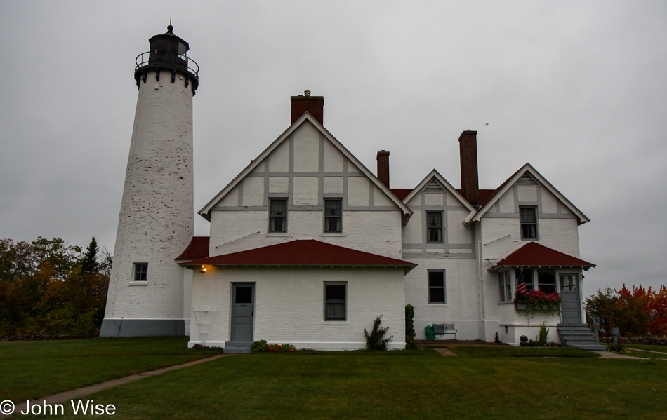
Point Iroquois Lighthouse in Brimley, Michigan, at the Hiawatha National Forest Historic Site, is only about 15 miles away from our destination for the night over in Sault Ste. Marie. What is it that’s drawing us up into that corner of Michigan just across from Canada? That will be answered in a couple of photos.
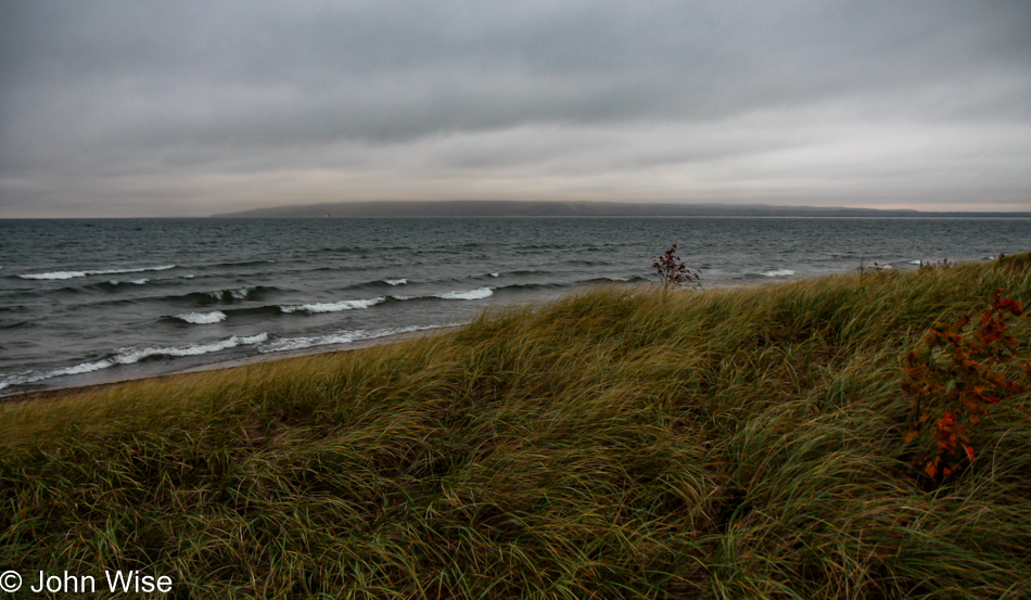
Is the weather finally turning against us? Does it matter?
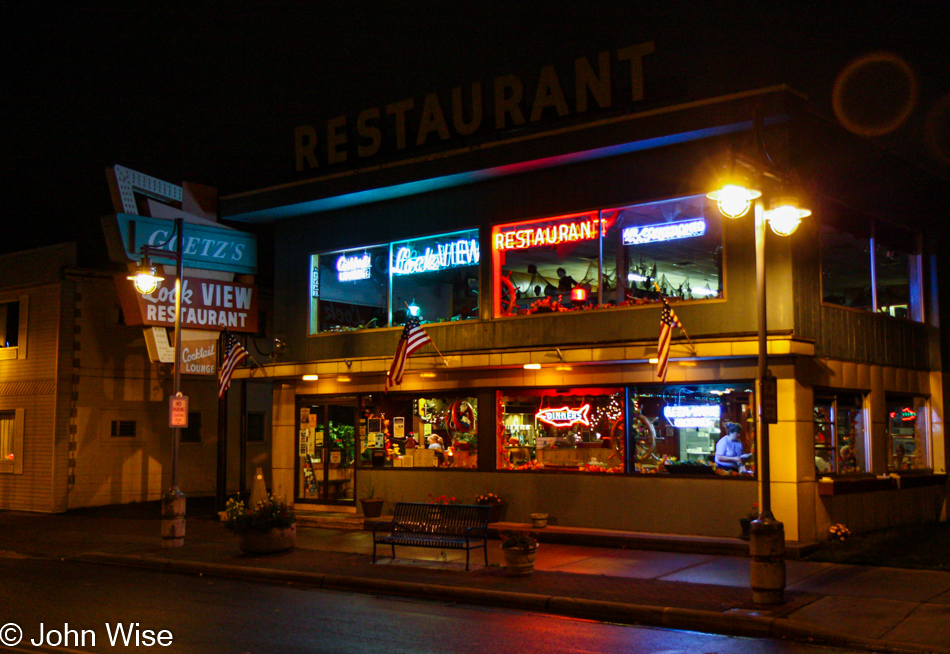
You might not be able to easily make out the sign of where we had dinner; it’s Goetz’s Lock View Restaurant and the operative words there are “lock” and “view.”
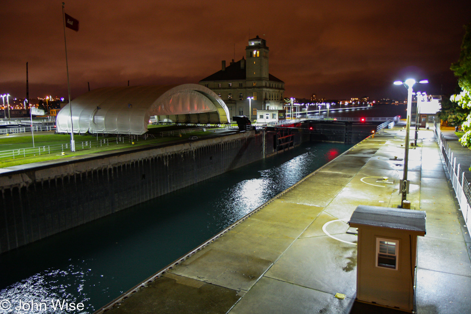
Would Caroline and I really possibly detour just to see a lock that facilitates travel between Lake Superior and Lake Huron? Yes, we are those nerds, but you should already know that as we are geeking out about colorful leaves of fall, waterfalls, and tree varieties.

The Long Ships Motel in Sault Ste. Marie is within walking distance of the Soo Locks. Tomorrow, we are hoping to see a ship pass through the lock, and the day will also mark our departure from the Upper Peninsula.