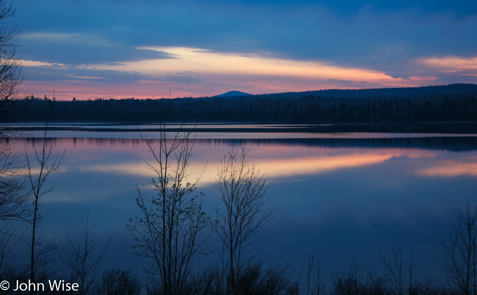
Had we not woken at 4:30 and hit the road an hour later, how would we have been able to win this view of the brightening sky reflected in the calm waters here in Maine?
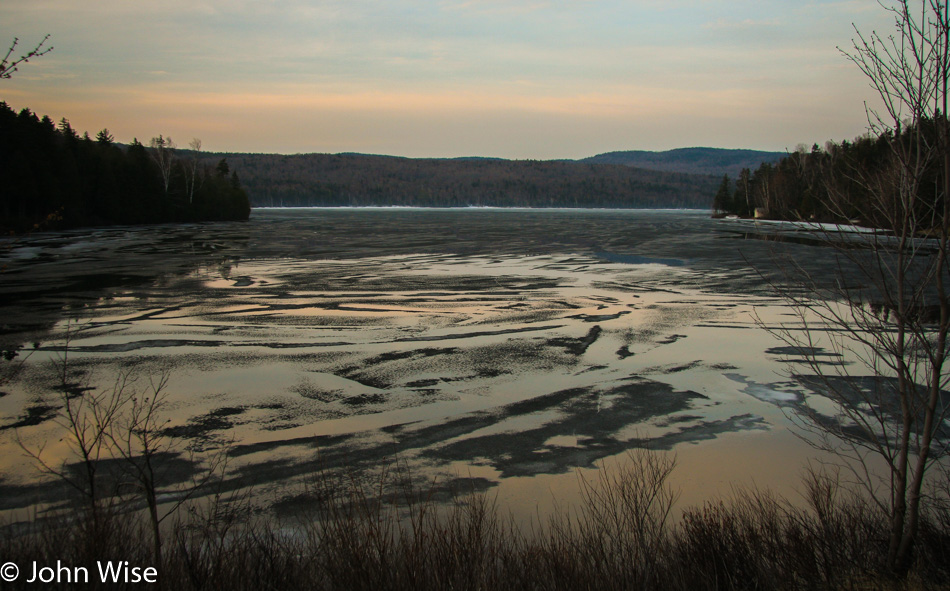
This is a powerful reminder of just how close to winter we still are. In the distance, you can see the snow between this mostly frozen lake and the forest.
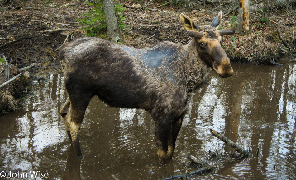
The moose are everywhere. Another dozen are seen this morning. They look a bit mangey as they shed their winter coat, and some look like they’ve been near starvation. The guy in this photo stared at me for a good two or three minutes before deciding to put more space between us.
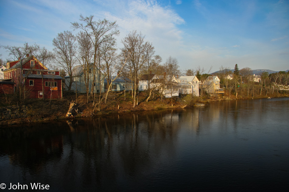
Sweet god, who does this route planning? Oh yeah, it’s me. In order to capture another 15 miles of the Rangeley Lakes Scenic Byway, we were heading south on Maine Highway 4 to Madrid and then up the 142 to Kingfield before heading southeast again, this time towards North Anson.
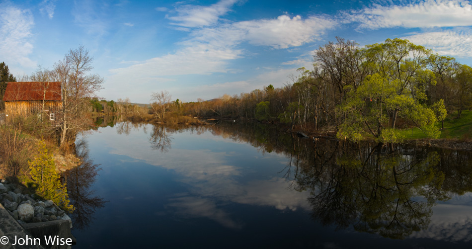
For our efforts to avoid major highways, we are rewarded with views such as these.
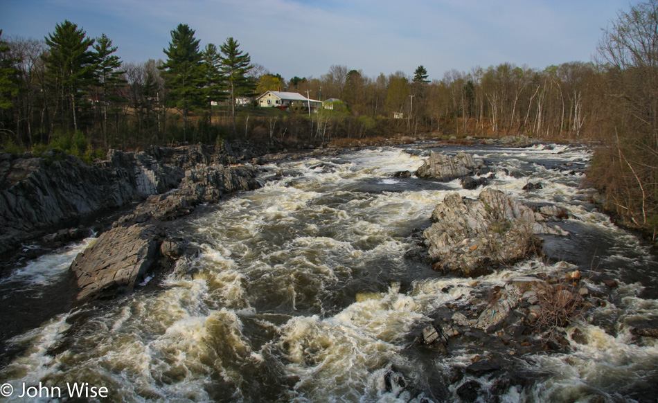
You’ll never see nor hear this from the freeway. Hopefully, we’ll get to come back through this area some late August or early September when the foliage is in full growth and the browns of winter have given way to the vibrant greens of summer, but then we’ll probably long for the warm colors of fall.
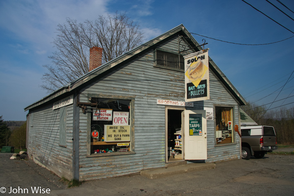
It should have taken us about 75 minutes to drive from Rangeley to Solon, Maine, but we were able to drag it out to take two-and-a-half hours. We are experts in slow. About shopping for bait, bolts, and bullets, well, we don’t know anything at all about this stuff, so we take a photo for the weird memory of it all.
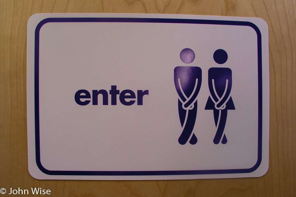
In the Village of Abbot, Maine, we saw this very accurate graphic representing the two of us as we scrambled for a bathroom. I should start a blog of all the cool signs we’ve seen across America.
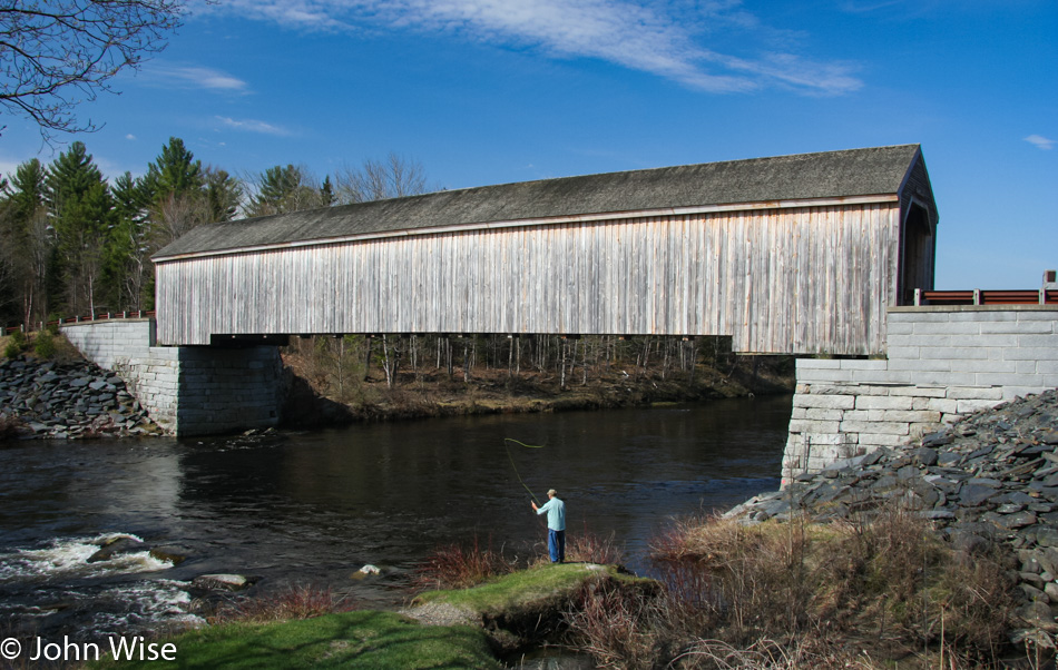
From Abbot on Highway 16, we picked up the Piscataquis River as we continued on our northeast drive. Like lighthouses, we have a soft spot for bridges of all types; add a fly fisherman on the banks of a river with the bridge in the background, and you’ll hear tires squealing as we pull over with an urgency that surprises us we’ve not been rear-ended yet. Then again, there have to be other people out here driving these remote roads to encounter us, so I guess we are mostly safe. As for our current location, we are at the Lowe’s Covered Bridge in Guildford.
At one time, there were about 120 covered bridges in Maine; today, this is one of the last nine still in existence, only five of which are open to traffic. The original bridge built in 1857 was lost during a flood in 1987 but was rebuilt in 1990. If you look closely at the photo, you can tell where the foundation of the old bridge was raised to avoid another washout. When you see how beautifully these bridges complement the surroundings, it is truly a shame that of the original 120, so few would remain standing.
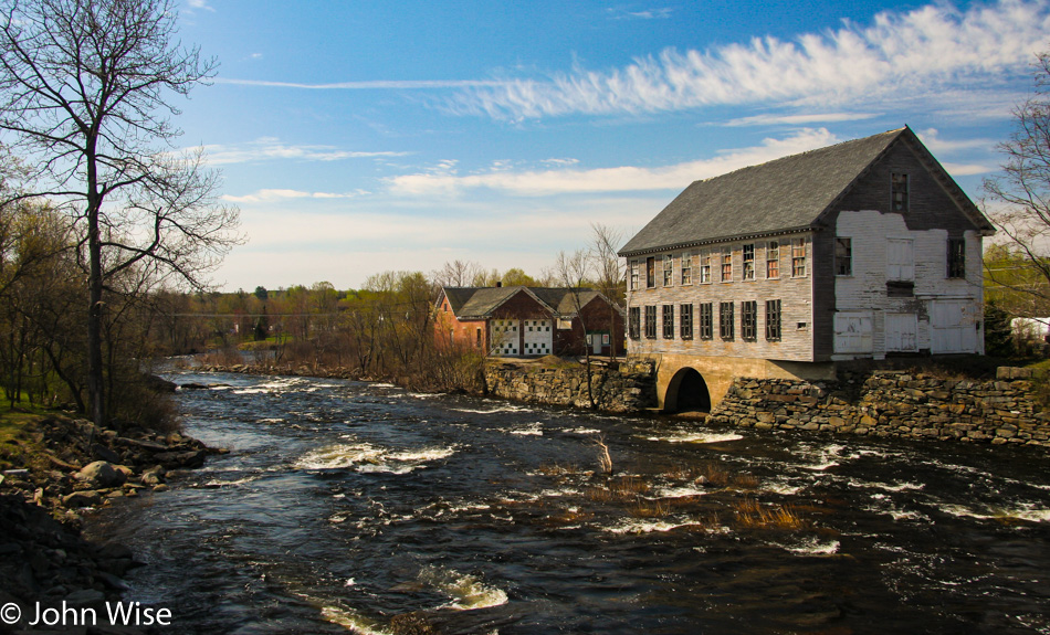
Who could ever forget this image on the Sebec River in Milo, Maine?
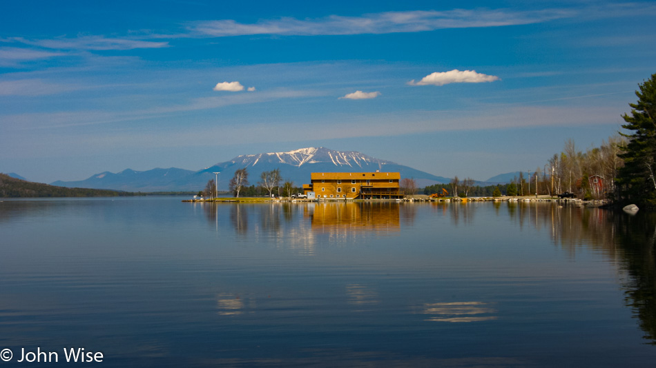
Welcome to Millinocket, Maine. We are stopping in front of the 5 Lakes Lodge on South Twin Lake with the snow-capped peak of Mt. Katahdin in the background. Once in town near lunchtime, we took a pause at the Scootic In Restaurant. These notes here are as much for us as it is for a reader: should we find ourselves back up this way these places will be on our list of to-dos.
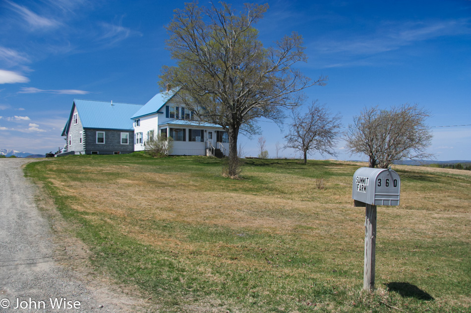
Stacyville, Maine, looks like somewhere we could live, except this is entering mid-May and not the dark, cold days of January. So how does one become wealthy enough to live out here and not worry about paying the bills?
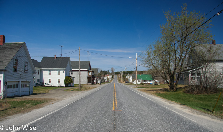
We drive north on the 11 until reaching Ashland, where we turn on the 227, followed by the 228 and the 161 until we start to approach and pass through Stockholm, Maine, where we are renting a cabin for the night. We are heading to the Canadian border so we can touch the furthest northeast point in the United States that we can reach.
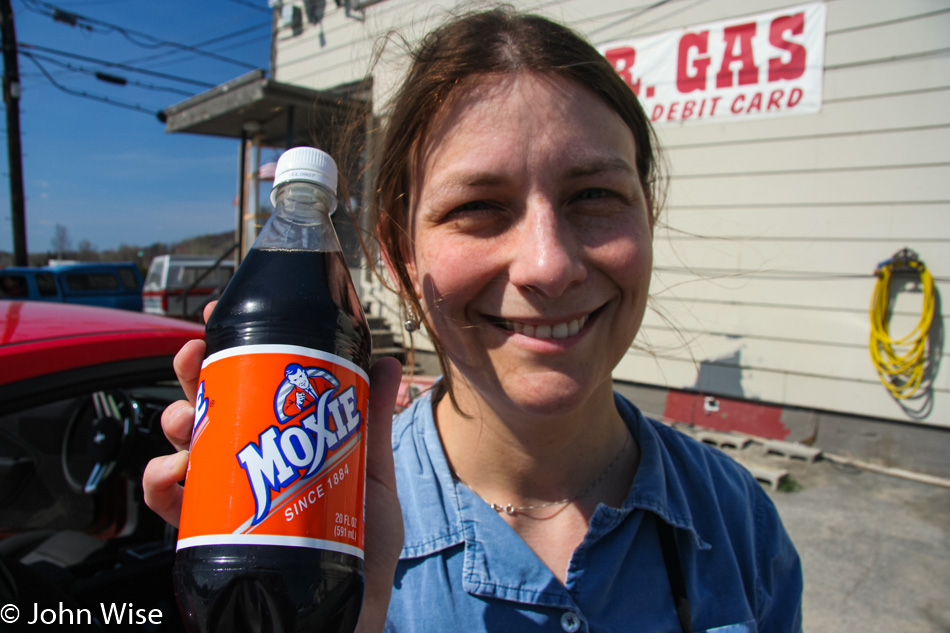
A pit stop introduces us to Moxie Nerve Food. While it’s now known simply as Moxie Soda, it is one of the oldest soda brands in America and is considered the taste of Maine. As for the sights of Maine, this upper part of the state appears significantly different than the southern part. We’re not sure if this area has simply been deforested as that’s the main economic resource of this state and nobody cares as it’s not a big tourism draw such as the coastal region. Similar to other areas, the roads out this way are wrecked; we can only figure it’s due to the heavy winter snow and the logging trucks that haul tons of logs down Maine’s highways.
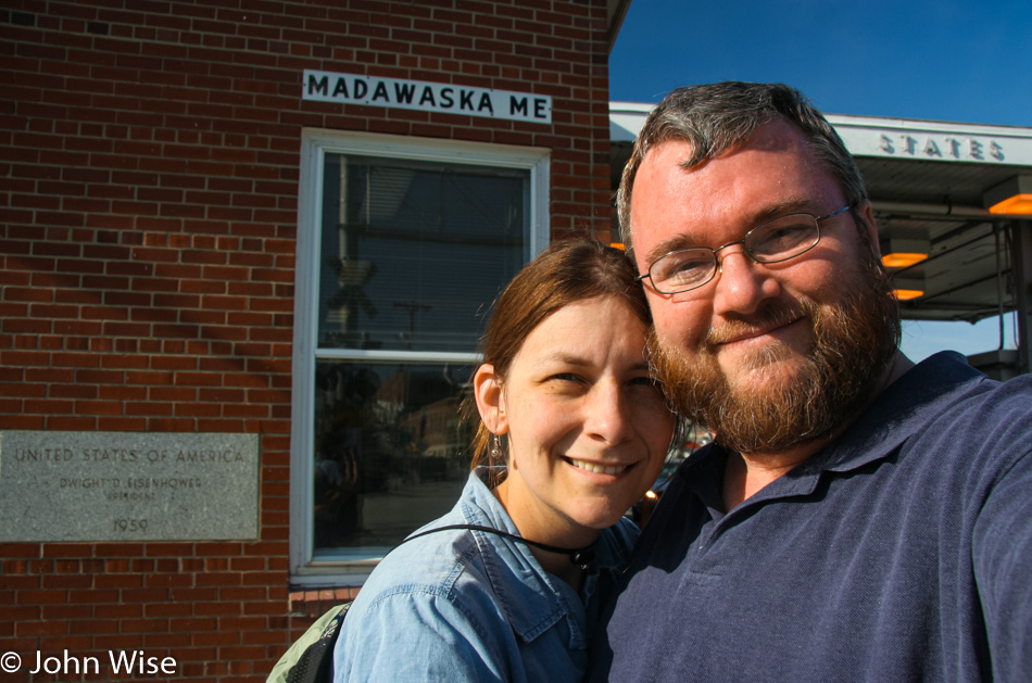
Here we are at the border control stop at the Canadian and American spot on the map that separates our countries.
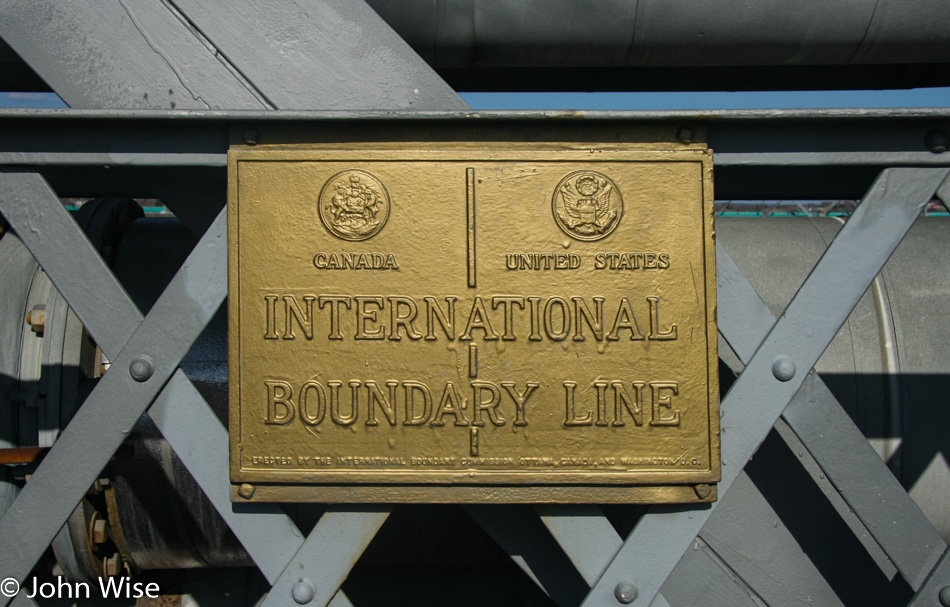
After talking with a border control agent, we found that we could walk out on a pedestrian bridge, and as long as we did not pass the International Boundary Line, we wouldn’t have to go through immigration on our return to America. Across the way in Edmunston, Canada, we can hear church bells ringing on this gorgeous 86-degree day.
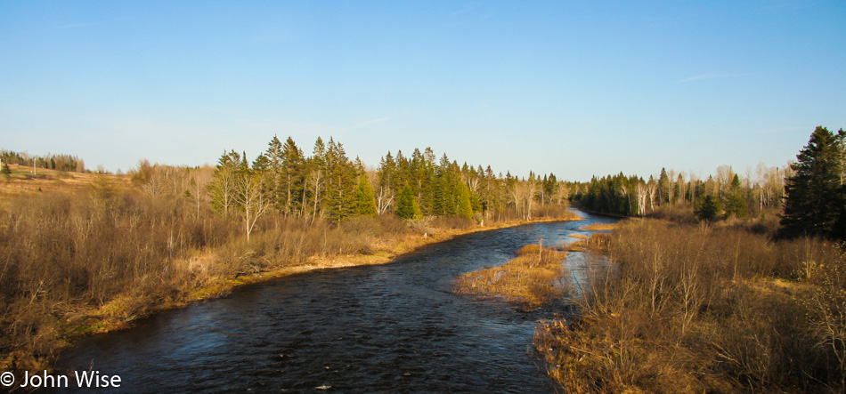
To get back to Stockholm, we are taking Highway 1, which hugs the Canadian border in Eastern Maine. When we get to Van Bruen, we cannot take the 1A due to it being closed by a chemical spill, so we continue on the 1 towards Acadia and Caribou. While in Caribou we stop at a store to pick up orange juice, hot cocoa, frozen veggies, mushrooms, and a steak so we can make dinner at our cabin.
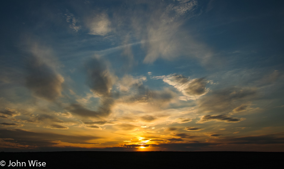
Back in Stockholm, we check into cabin #3 at the Fieldstone Cabins on Madawaska Lake. We have a barbecue, and there are washing facilities so not only do we get a home-cooked meal tonight, but we have the opportunity to catch up on laundry. Believe it or not, but we are deciding to sleep in as a couple of days of waking at 4:30 is starting to drag on us.