Hawaii Vacation – Day 1 (Oahu)

Disclaimer: Back in May of 2006, when I started posting about our vacation to the Hawaiian Islands, we were severely limited regarding photos I could share due to bandwidth limitations. Here in 2022, I’m updating these posts using the original image and text I shared, but I’m adding the rest of the photos I would have liked to share if bandwidth and storage had not been issues 16 years ago. 

Best flight ever to depart on, even though we were up at 4:00 a.m. this morning to arrive at the airport at 5:30. What made it so great? At the waiting area of our gate, there were two ladies who talked to everyone about the islands and performed a couple of hula dances. Even before leaving the crispy brown innards of the Arizona desert, we were in the mood for lush island life. Once in the air, we were treated to the taste of Aloha Pass-O-Guava, and over the next nearly dozen days, we’d fall in love with all things passion fruit.

We arrived in Honolulu on Oahu by direct flight at midday, but this was not our ultimate destination for the day. We have a six-hour stopover, allowing us to take a short drive around the southeastern corner of the island toward Diamond Head.

Caroline doesn’t always wear hibiscus flowers in her hair, but when she does, it’s in Hawaii.

There’s no need for us to try and get off some beaten path as every sight is new to us. This view is from the Lanai Lookout and is probably known to everyone who has visited Oahu, but we’d never seen it before, so this is the best location ever to stop at. Until we get to the next stop.

The view is from Highway 72, looking out to Kachikaipu and Manana Islands; the overlook is known as the Makapuu Lookout.

The reason the previous photo is from the Makapuu Lookout was that we were on the Makapuu Lookout Lighthouse Trail. The lighthouse can be seen off in the distance. With only about six hours on Oahu, we are trying to be well aware of how long we linger at every stop as we have no good idea of how far it is back to the airport.

Caroline doesn’t always stop to stand in the ocean but when she does….oh wait, she does stop to stand in every ocean, lake, river, stream, or other body of water she comes across.

Goodbye Honolulu, it’s like we barely got to know you, maybe another day.

Earlier in the day, we were in the state capital of conformity known as Phoenix, and now we’re on a lush green tropical island surrounded by blue. This kind of contrast made for a dramatic refocusing. After landing in Hilo, we tried sneaking into the Merrie Monarch Festival; okay, we didn’t really try sneaking in as much as we were on the grounds when someone asked to see our passes.

After a brief encounter with Hilo and effectively being kicked out of the festival, we took off down south to check into our lodging for the night at the Volcanoes National Park. Along the way, we ran into this crew who were operating a roadside restaurant in a couple of converted shipping containers. With their recommendations, we went with the pork laulau for me and the squid laulau on seaweed for Caroline. While certainly a cliche, should this have been our only day in Hawaii we’ve seen beautiful sights that will stay with us forever.

Hawaii

My apologies, but there will be no new postings to my Photo of the Day blog as my wife and I are taking off to Hawaii for nearly two weeks. With snorkel gear in hand, we are ready to check out the fishies, going to the Merrie Monarch Festival to get our fill of some serious hula dancing on the Big Island of Hawaii, where we will be staying up near the rim of the Volcanos National Park. After a few days, we’ll be on our way to Maui for more snorkeling and a 31-mile downhill bike ride from a volcano to the beach. The next stop will come after a yacht delivers us to Molokai for a day and a half, where we’ll take in some kayaking and, of course, more snorkeling. Another night on Maui and then a short flight to Kauai; I’m sure you guessed by now what we’ll be doing – that’s right, we are going to botanical gardens and doing some hiking on the Napali Coast. Check back in early May for the continuation and infill of my photos.

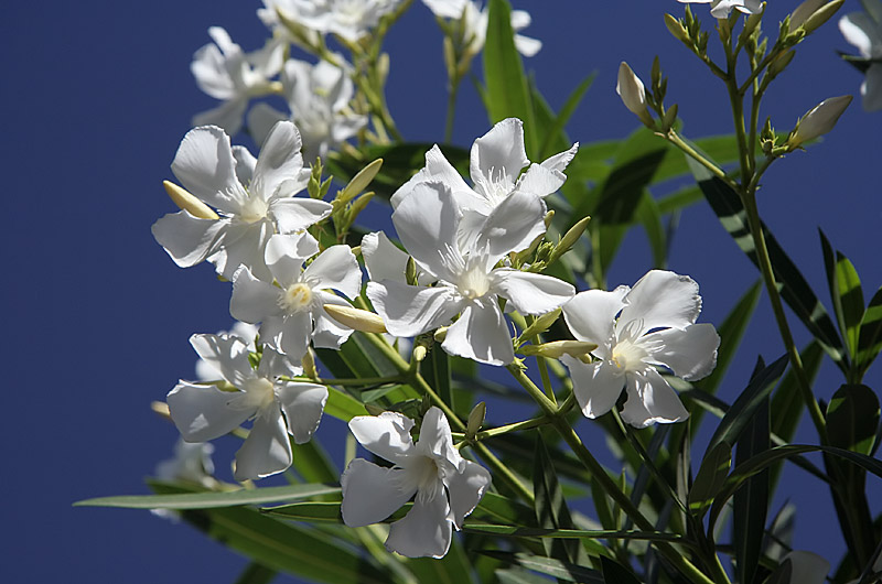
White Flowers

White flowers blooming on a local unidentified type of tree in Phoenix, Arizona

All I’ve been doing is getting ready for our trip to Hawaii this week. Taking these photos of the day has been a pain as I work through my arm’s length list of things to do before we can go. We have our GPS, the camera sensor is clean, I received my waterproof camera bag on Monday, had my sunglasses repaired, made arrangements for us getting to and from the airport, cleaned house, verified reservations, bought sandals, new contact lenses, shorts, mini-travel-shampoo, got my hair cut, did laundry, made arrangements to have our cat and plants cared for. All that’s left is to pack, print boarding passes, and buy some extra sunblock – weeeee.

Sensor is Clean

After cleaning the image sensor on my Canon Digital Rebel XT

This thrilling photo of pure blue sky is courtesy of a cleaned image sensor. When shooting a Digital SLR there is the disadvantage of gathering dust and debris on the glass protective cover on the CCD as opposed to using a point and shoot where the lens and sensor system is closed and sealed. With the D-SLR when you change lenses, or a high wind kicks up, or just because it happens that the sensor needs cleaning. First I try a bulb and try blowing the dust away, this doesn’t always work and you need to do what is called wet cleaning. Personally, I do not have the guts to do this one as I do not want a more expensive bill for fixing what I make really bad. A local company charges $35 to clean the camera or $10 more to stand over the technician’s shoulder while you gawk and try learning something – the only things I learned for my $10 idiot tax was that I am not going to attempt this at home and next time I’ll save the ten bucks. The photo here was taken pointing straight up with the aperture at 22. This aperture is horrible for showing dust on the sensor but very effective for letting you know how dirty it is. With a quick few dabs with his moistened cotton swab and a quick puff of compressed air, the sensor was better than new and we are ready to keep on taking photos.

Rez Dog and GPS

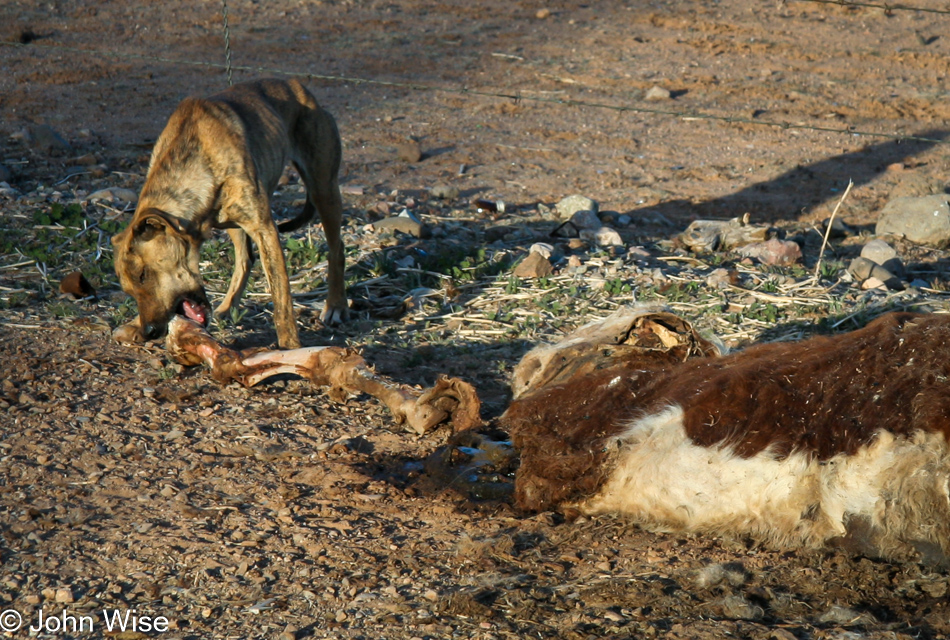
On the Tohono O'odham Reservation in Arizona a rez dog find a quick meal of roadkill.

I took a drive south today to further test using GPS when shooting photographs. With our Canon Digital Rebel XT, there is no elegant method for bringing GPS coordinates together with the EXIF data that is saved with an image. We are using a Garmin Legend C GPS unit with its Mapsource software. When I shoot a photo, I mark a waypoint on the GPS at nearly the same time. I synced the time of the GPS and the camera via my computer, which nearly doesn’t matter as the marked waypoint and the time the photo was shot will always be a few seconds off – at a minimum. Upon getting back to the computer, I dump the photos and the waypoint markers into their respective directories. Caroline then takes a tab-delimited text file of the waypoints, imports them into a database, and uses a script that displays the waypoints on Google Maps. By comparing time stamps, we are able to identify which photos belong to which waypoints and the images are mapped to their respective GPS locations on Google Maps. Shortly, the entire process will be automated, and all future photographs will find their way onto Google Maps.

The above photo was taken on the Tohono O’odham Reservation near Santa Rosa in Arizona. The GPS location was N32 22.531 W112 02.861. Our trip to Hawaii this week will feature extensive use of GPS; we hope to have map coordinates for every photo we shoot.
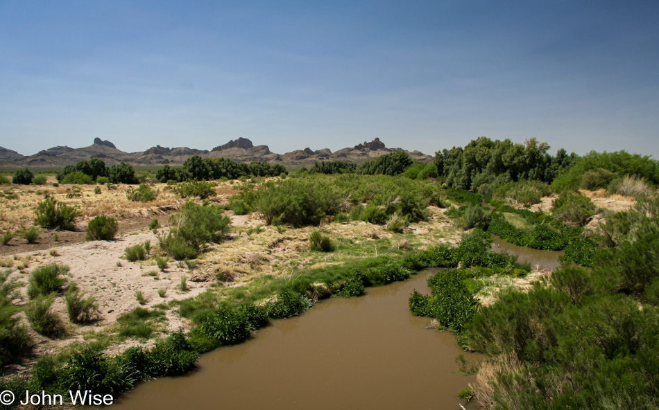
Somewhere on or near the Tohono O'odham Reservation in Arizona

Update: I returned to this post in 2023 to update the photo and check on the text; the paragraph and dog above are the original post while from this photo down are some of the other images I shot back on April 16, 2006.
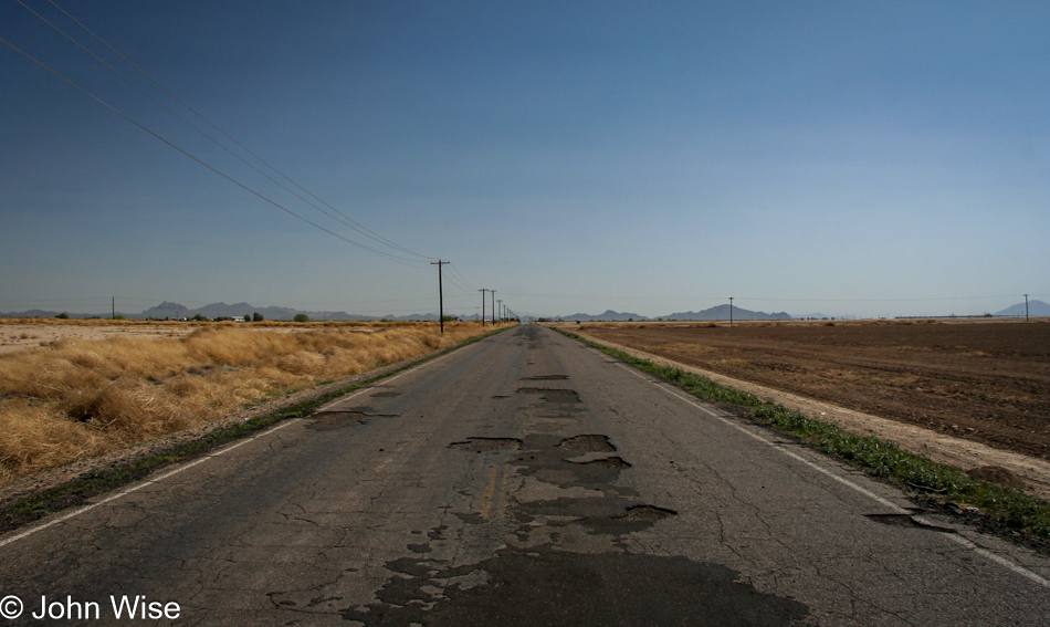
Somewhere on or near the Tohono O'odham Reservation in Arizona

There’s very little I can share about these images 17 years after I took them, but there were some clues such as I was driving south on the west side of Picacho Peak.
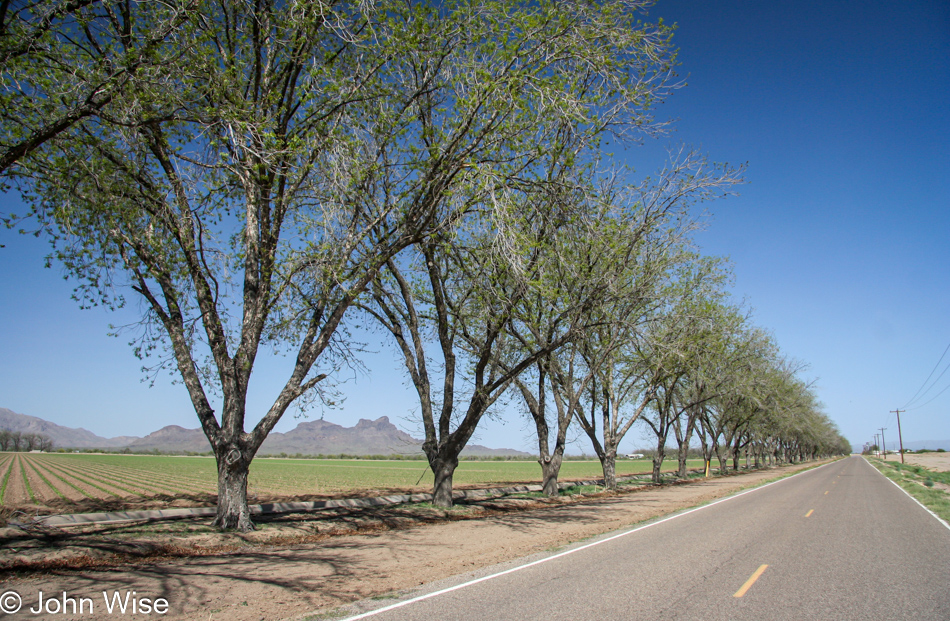
Somewhere on or near the Tohono O'odham Reservation in Arizona

I suppose street view could help with the locations, but I don’t see that precise data really being of any use.
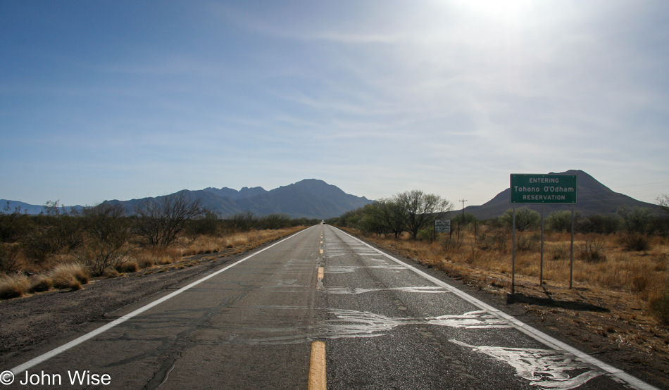
Somewhere on or near the Tohono O'odham Reservation in Arizona

Obviously, I was entering the Tohono O’odham Reservation at this time.
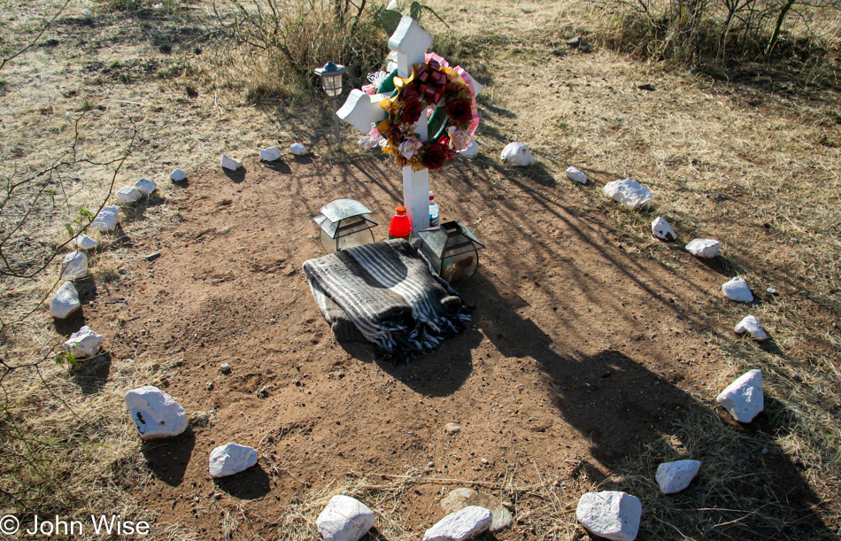
Somewhere on or near the Tohono O'odham Reservation in Arizona

Roadside memorials on the various Native American reservations are a relatively common site; somehow, I expect the worst and think this was likely a drunk driving incident as there’s very little traffic out these ways to believe it was a fatal accident with another vehicle.
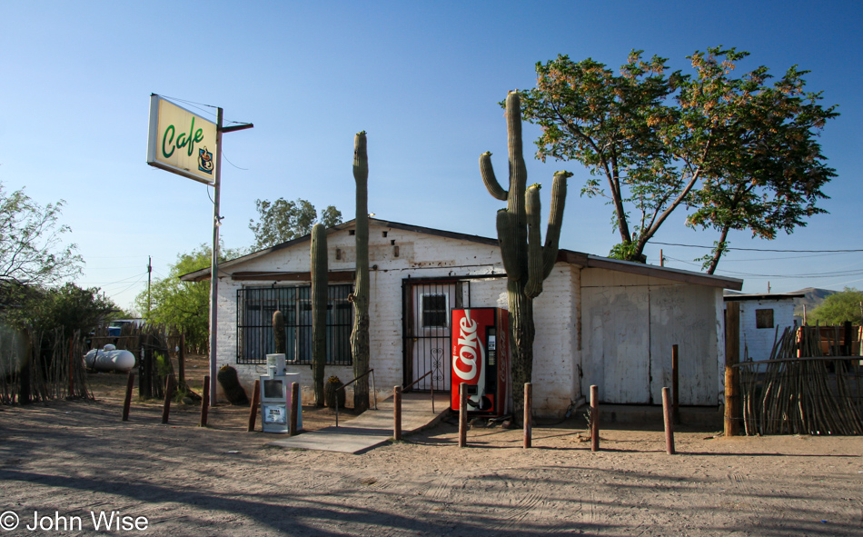
Somewhere on or near the Tohono O'odham Reservation in Arizona

There is a part of me that would like the know the old roads I took so I could revisit them and see what’s changed.
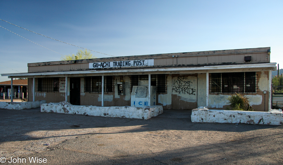
Somewhere on or near the Tohono O'odham Reservation in Arizona

It turns out that the Gu-Achi Trading Post on the Tucson Ajo Highway in the town of Maish Vaya is still open here in 2023, and if I’m not mistaken, Caroline and I have stopped in in the not-too-distant past.
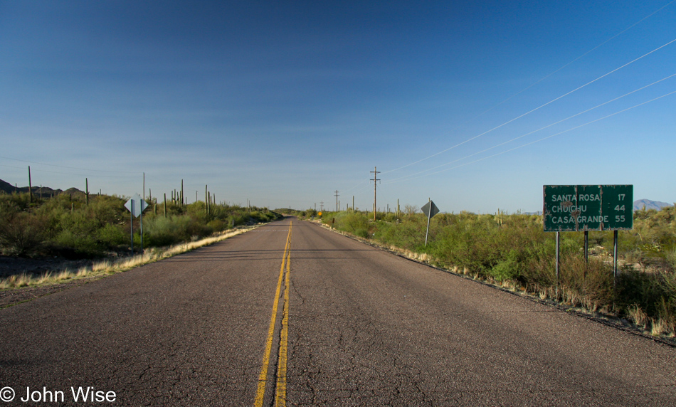
Somewhere on or near the Tohono O'odham Reservation in Arizona

I’ve turned around for the drive home.
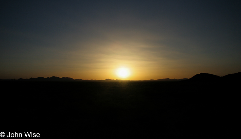
Somewhere on or near the Tohono O'odham Reservation in Arizona

I’ve loved these solo drives out on lonely roads to take my time seeing what’s out in the desert.