I took a drive south today to further test using GPS when shooting photographs. With our Canon Digital Rebel XT, there is no elegant method for bringing GPS coordinates together with the EXIF data that is saved with an image. We are using a Garmin Legend C GPS unit with its Mapsource software. When I shoot a photo, I mark a waypoint on the GPS at nearly the same time. I synced the time of the GPS and the camera via my computer, which nearly doesn’t matter as the marked waypoint and the time the photo was shot will always be a few seconds off – at a minimum. Upon getting back to the computer, I dump the photos and the waypoint markers into their respective directories. Caroline then takes a tab-delimited text file of the waypoints, imports them into a database, and uses a script that displays the waypoints on Google Maps. By comparing time stamps, we are able to identify which photos belong to which waypoints and the images are mapped to their respective GPS locations on Google Maps. Shortly, the entire process will be automated, and all future photographs will find their way onto Google Maps.
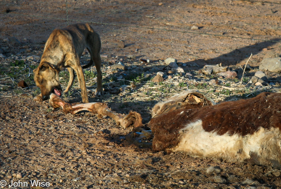
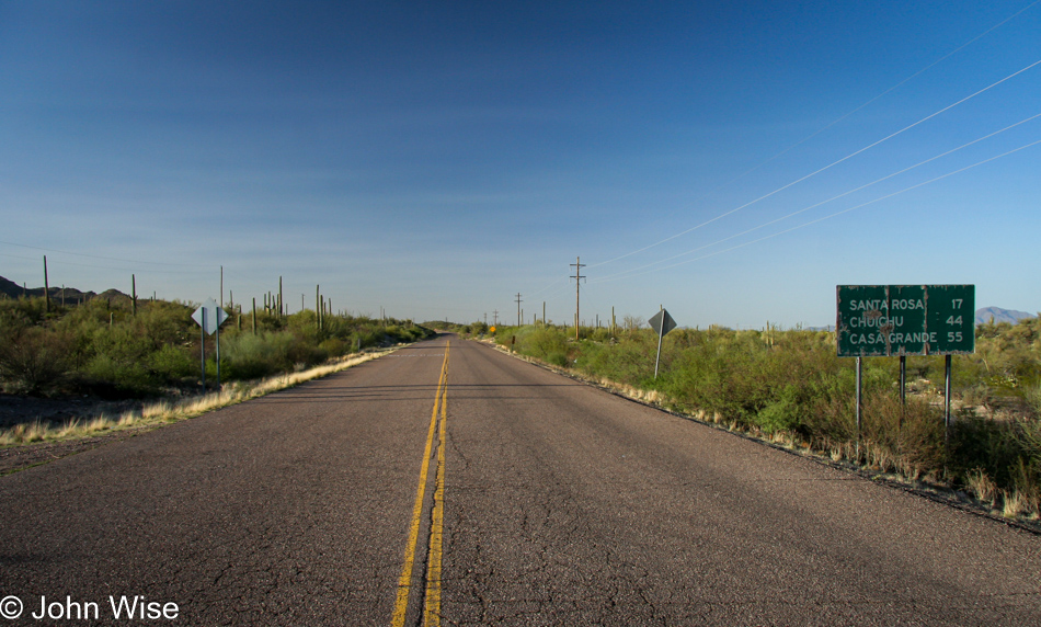
The above photo was taken on the Tohono O’odham Reservation near Santa Rosa in Arizona. The GPS location was N32 22.531 W112 02.861. Our trip to Hawaii this week will feature extensive use of GPS; we hope to have map coordinates for every photo we shoot.
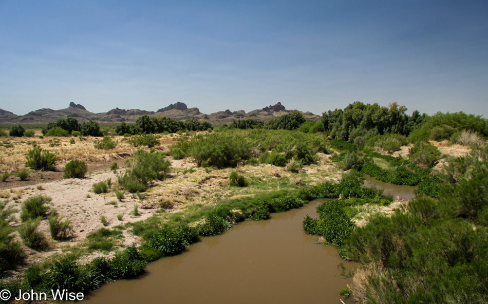
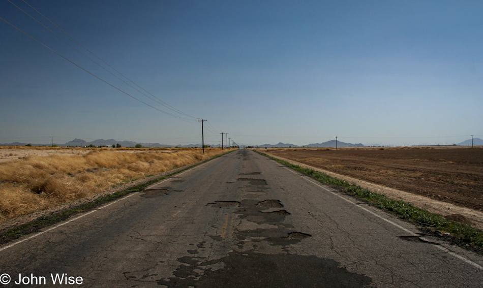
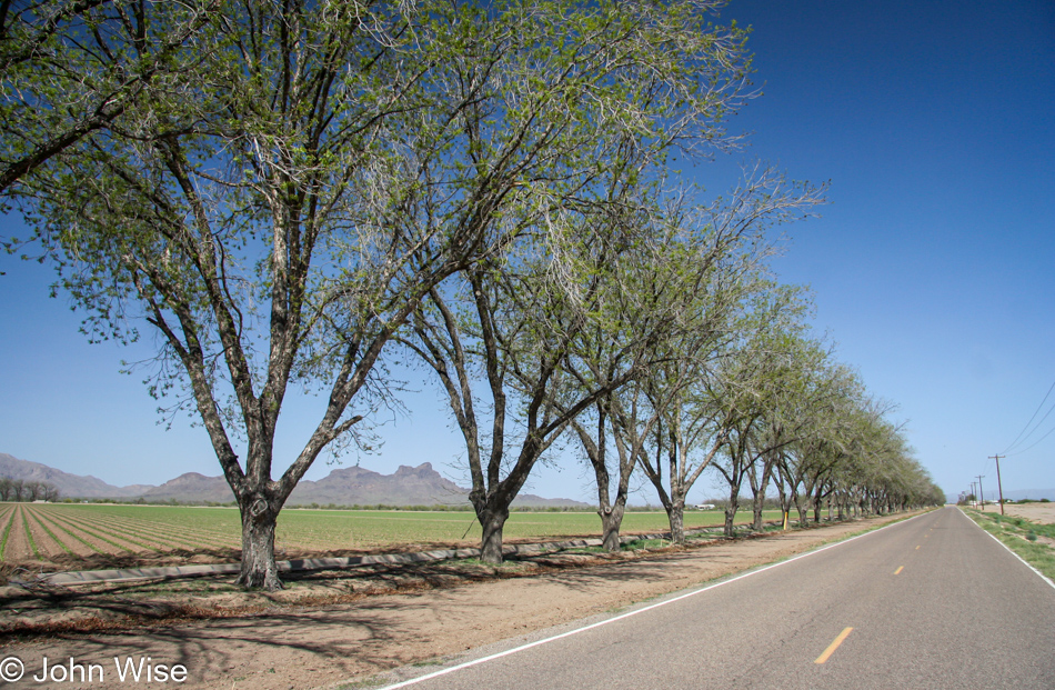
Update: I returned to this post in 2023 to update the photo and check on the text; the paragraph and dog above are the original post while from this photo down are some of the other images I shot back on April 16, 2006.
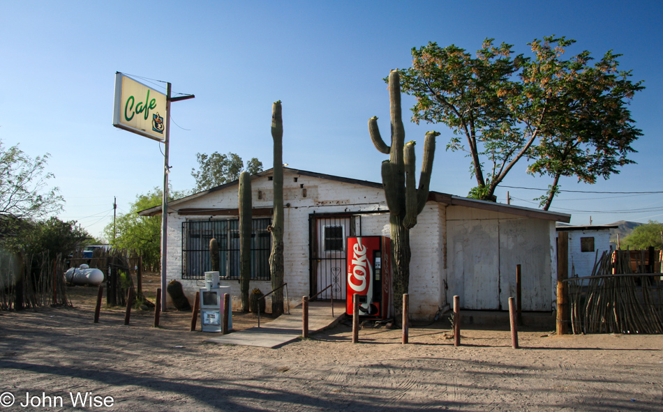
There’s very little I can share about these images 17 years after I took them, but there were some clues such as I was driving south on the west side of Picacho Peak.
I suppose street view could help with the locations, but I don’t see that precise data really being of any use.
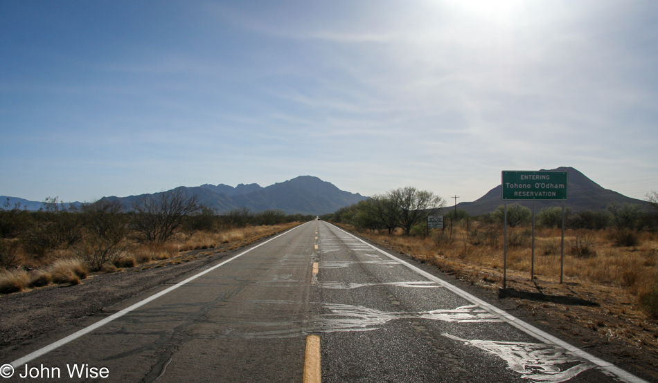
Obviously, I was entering the Tohono O’odham Reservation at this time.
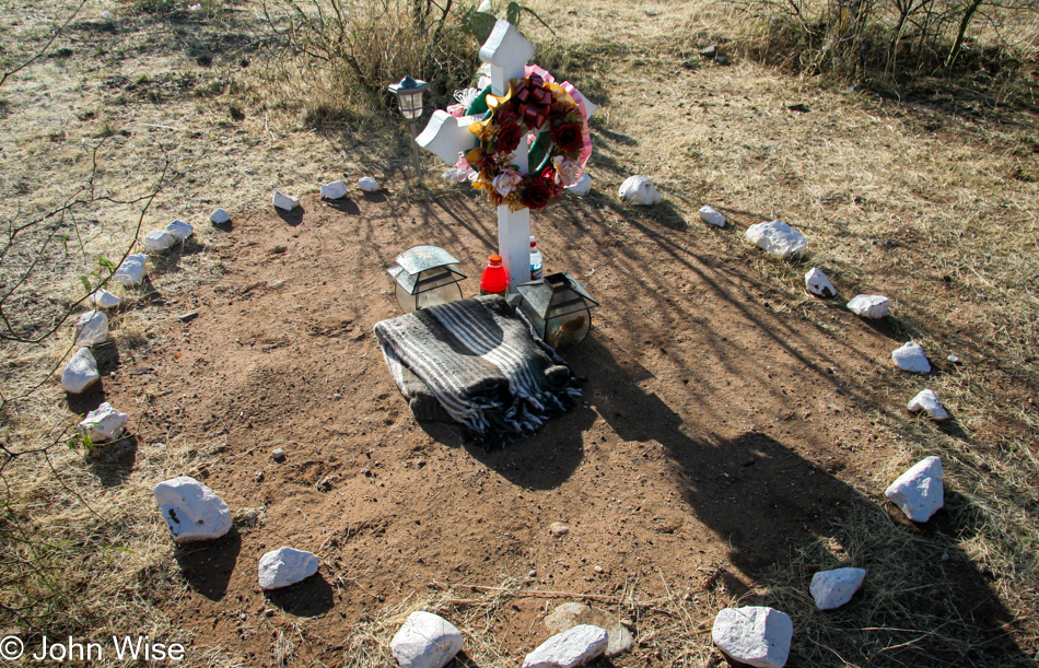
Roadside memorials on the various Native American reservations are a relatively common site; somehow, I expect the worst and think this was likely a drunk driving incident as there’s very little traffic out these ways to believe it was a fatal accident with another vehicle.
There is a part of me that would like the know the old roads I took so I could revisit them and see what’s changed.
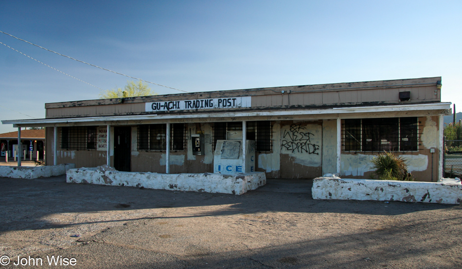
It turns out that the Gu-Achi Trading Post on the Tucson Ajo Highway in the town of Maish Vaya is still open here in 2023, and if I’m not mistaken, Caroline and I have stopped in in the not-too-distant past.
I’ve turned around for the drive home.
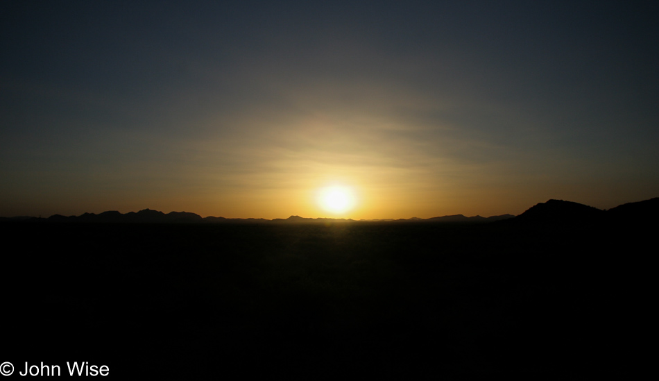
I’ve loved these solo drives out on lonely roads to take my time seeing what’s out in the desert.
That is a very good idea to map the photos with GPS. Hmmm… Sice I love to travel, I should start doing so as well.
How do you like the Garmin GPS?
Anyway, Have a nice trip to Hawaii. I am on the way to taking Curise to Mexico.
http://www.terencechang.com/