
Disclaimer: This post was updated in November 2022, as the original only included 1 photo. The bigger details were written back then, although a few things needed to be figured out.
Today’s return to Arizona started with us fueling up at El Camino Family Restaurant, as we’ll never miss an opportunity to eat there. Once out of town and heading west, it was inevitable that we would be passing the VLA (Very Large Array – see the movie Contact with Jodie Foster to see what I’m talking about).
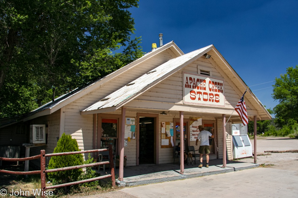
Maybe living in Europe for ten years helped me better appreciate these unique American sights; I never tire of the old-fashioned places if, for no other reason than walking in, we might get to hear the creaky wood floor announcing our arrival. Well, that and buying ice cream to support the local economy.
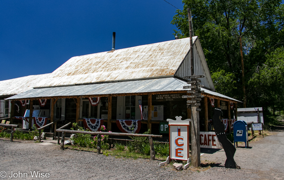
Another 30 minutes further east and it’s already to stop again, this time in Luna, New Mexico, for refreshments.
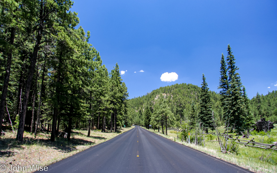
Back in Arizona, we stopped for homemade ice cream at the Lollipop Shoppe in Alpine and then took a turn south on the 191.

This was the original “Photo of the Day:” wildflowers along the Coronado Trail just north of Hannagan Meadows, taken by Caroline. This is one of my most recommended scenic drives in Arizona.
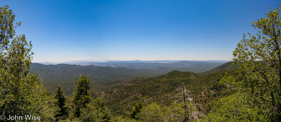
State Route 191, also known as “The Devil’s Highway,” is the Coronado Trail Scenic Byway. This road descends 5,000 feet (1,600 meters) over 60 miles (97km) via 525 sharp curves and switchbacks. The byway closely follows the route Coronado took back in 1540.
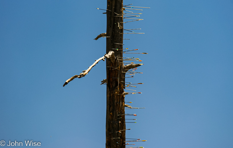
One has to wonder, who drives around with their bow and arrows so they can shoot an arrow at a dead tree, hoping to actually hit it? I’m only showing you a section of the tree; just imagine how many arrows are in the surrounding forest from those who missed their shot.
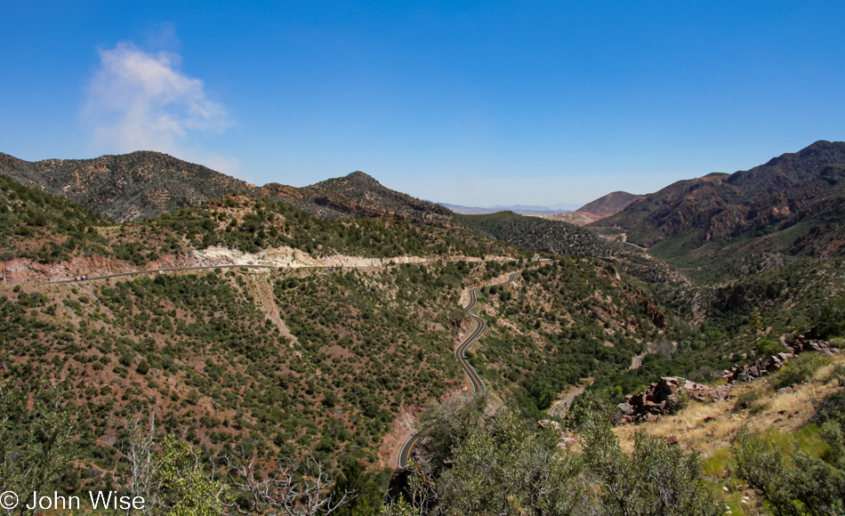
Approaching the end of the Coronado Scenic Byway, the smoke on the left is actually dust from what lies just over the way.
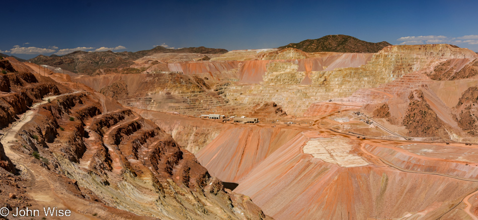
This is the rather giant Morenci mine, the biggest copper-producing open-pit mine in all of North America.
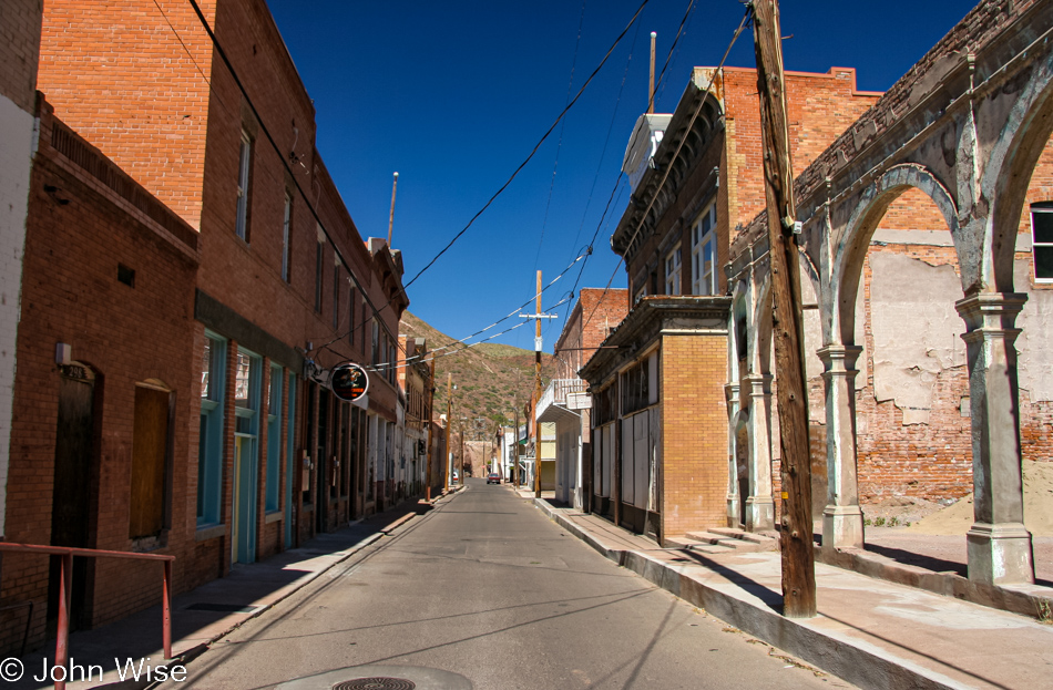
The mine has its own town, also named Morenci, and just down the road is the old town of Clifton, which appears to be falling into disrepair.
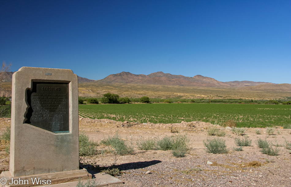
Welcome to Geronimo that really isn’t anything much of something anymore. Aside from some nearby ruins and a couple of roadside signs that always seem to go missing, go figure as they just say “GERONIMO,” there’s just this monument giving a tiny bit of background about the Chiricahua Apache rebels and how the U.S. Government built them a “camp” called Fort Thomas where they were supposed to stay next to the Gila River and be good little Indians. Apparently, medicine man Geronimo didn’t appreciate the concentration camp. And before you get your panties into a bunch, I said concentration camp, not death camp.