Disclaimer: This blog entry wasn’t written until 17 years after the trip. It should be noted that it was a huge mistake to have not written it way back when. Sometimes, after writing so much about other days, it happens that at the time directly after the trip (or even during), I convince myself that the details are not that important. Years later, these details are that important, and pulling them out of foggy memories is difficult. The photos help and often leave clues, and then Caroline’s memories are usually far clearer than mine. With that said, here goes.
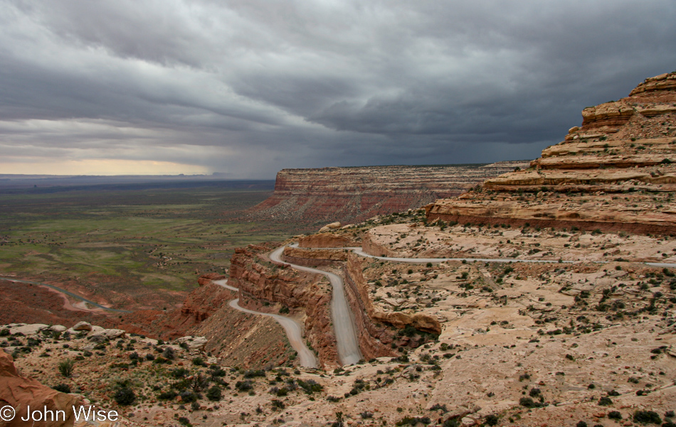
There is no swinging steak and eggs for breakfast at the Mexican Hat Lodge, and Monument Valley is not on the itinerary for this trip, so we are heading into new territory on Jutta’s behalf. Regarding the weather, no worries. I’ve looked ahead in my photos and see that we’ll be enjoying blue skies later in the day, but for now, we have drama above.
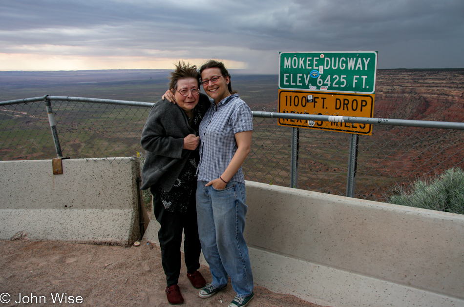
There’s also the matter of drama in our backsides as we drive up this narrow gravel road known as the Mokee Dugway, which, while beautiful, is fraught with nail-biting fear as the edge of oblivion is always too close for comfort. Yep, it’s cold and windy up here at this overlook, and Jutta’s thin little cardigan ain’t cutting it.
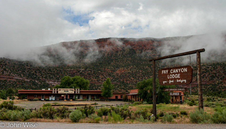
We used to take photos of places as reminders with the idea that one day, we’d return and stay at that place. Well, it turns out that Fry Canyon Lodge was closed for renovations, except those renovations would never end or maybe never begin because it never opened again.
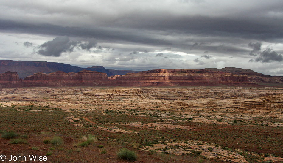
There’s a river out there, a mighty and great river.
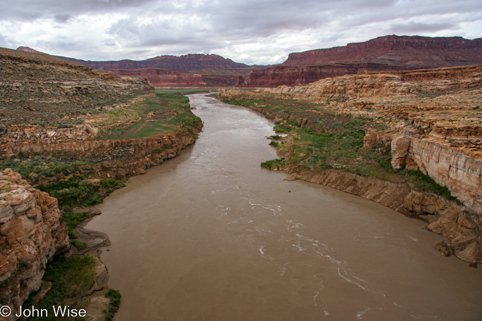
It’s called Colorado.
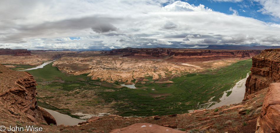
Little did we know that the era of Lake Powell reaching all the way up here to the Hite Marina was well over. Across the way, on the right, you might be able to make out the boat ramp, obviously, it no longer reaches the water. The bleached rock was underwater just a few years before, but in 2002, the lake level dropped too far.
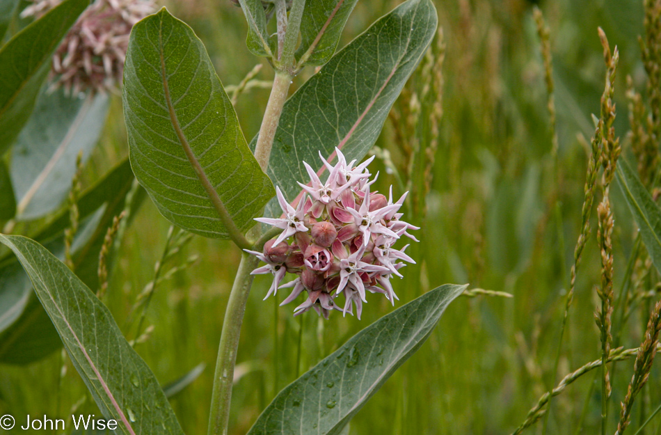
Reminder to self: not all views must be vistas and dramatic horizons; there are spectacles closer to us if we slow down and check out what’s around us.
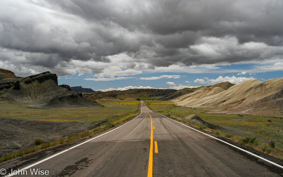
We’ll continue on Utah State Route 95 a ways further as our destination is mostly to the west.
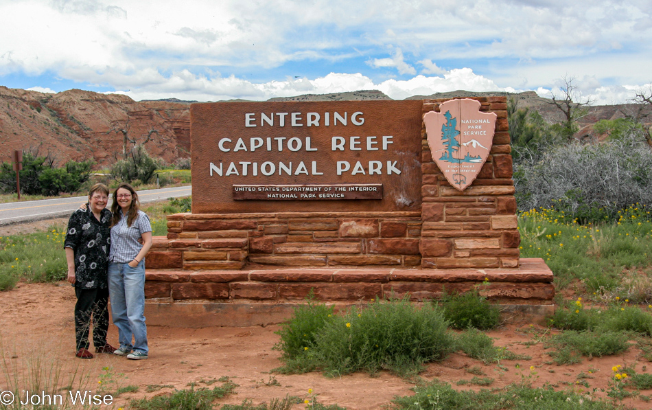
No, Jutta didn’t just go and get tough; it was warming up by the time we reached the Capitol Reef National Park.
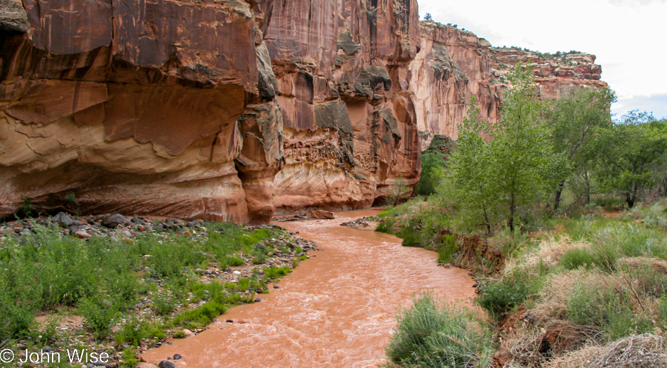
With water flowing through the park, we’d be extra cautious as it’s been drilled into Caroline and me regarding the threat of flash floods. We are far too timid to risk something like being caught by one.
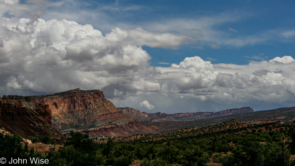
So, instead, we’ll take the high road.
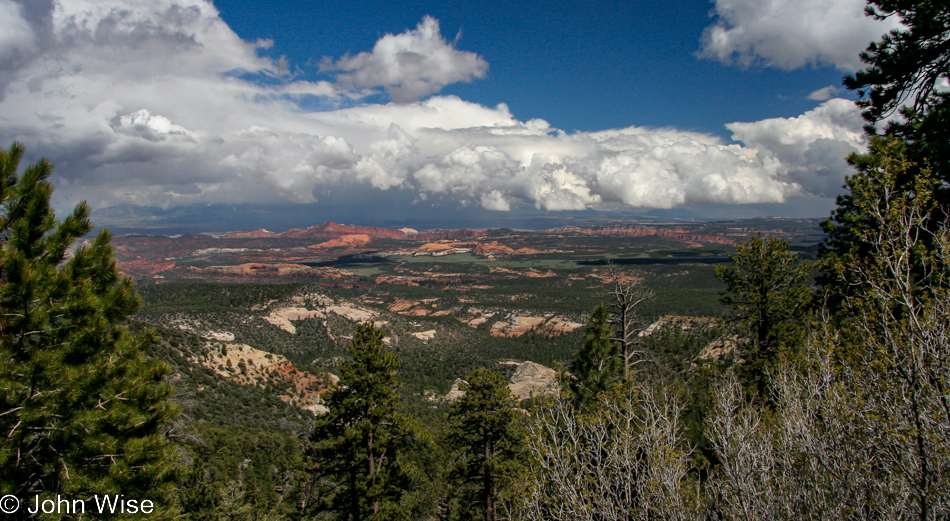
The really high road overlooking the entirety of Earth!

Oh my god, I don’t know if I can drive over that. Both sides fall off at such an angle that only death can result from leaving the road. Why are there no guardrails on this ridge? My plan was to look way out there and ensure I wouldn’t see one other car ahead of us and then drive right down the yellow stripe, and that worked I can only hope I never have to drive this again in my life.
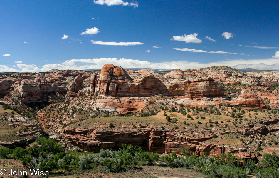
Well, if this is the reward for maneuvering the precarious tiny slice of road, maybe it was worth it.
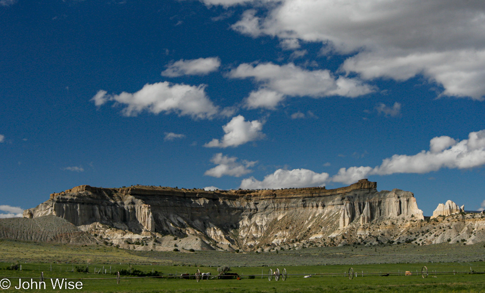
I’ll bet a dollar that before engine-driven water pumping all the beauty in the world didn’t make up for how hard it was to farm out here. Now that we can extract every drop of fresh water from below our feet, you can bet that’s just what we’ll do.
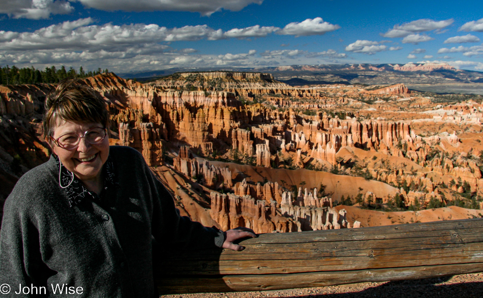
National Park number two is right here at Bryce. Years ago, when we first brought Jutta through the area, we only got as far as Zion, so now we’re closing the loop.
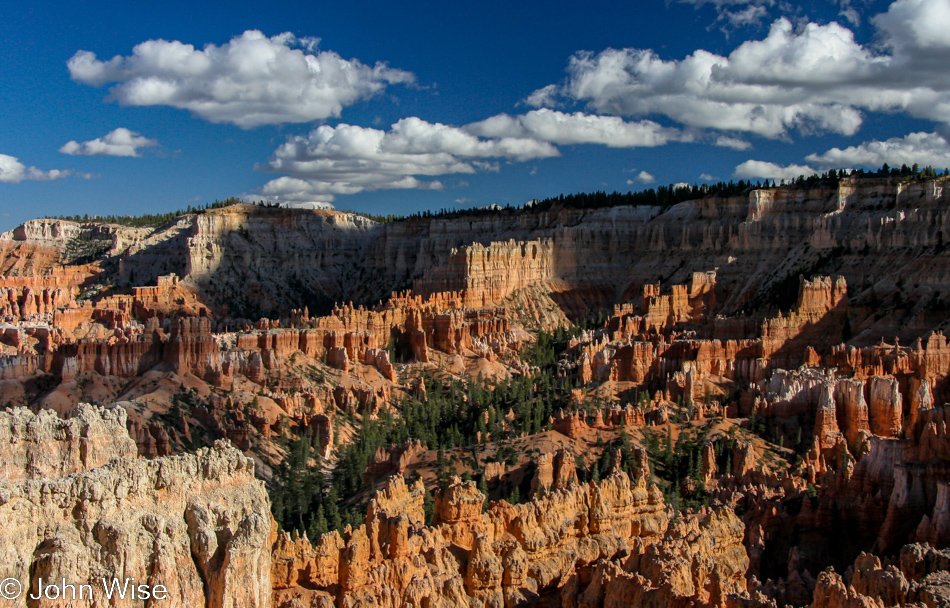
It’s late in the day when we got here, which you can easily tell by the shadows, huh? So there will be no hikes into the hoodoos, but then again, nobody would ever expect that of us as we race across the United States, the entire western United States.
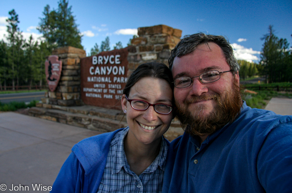
Sometimes, a selfie with just the two of us reminds us that we are here together, which can easily be lost when Jutta and Caroline try to spend as much quality time together as possible while taking in a million new sights and experiences.