Well, we’re finally in North Dakota. I’ve been warned about this state: “It’s boring,” “there’s nothing to do,” and the ominous admonition of “You don’t want to go there.” I’d read in the state’s own visitor literature that it’s North Dakota’s black soil that makes the state special, not the most compelling reason for visiting a place. The movie Fargo didn’t add much to its appeal, either. One thing I’ve learned in visiting these forsaken places in years past is that Caroline and I always find something so endearing that we’re compelled to come back. I hope this isn’t the state to which we don’t want to come back.
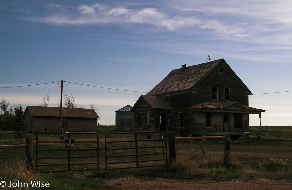
The sun was up early, earlier than we were. An obligatory abandoned farmhouse sits alone, surrounded by fields freshly plowed, awaiting the first burst of new life to break ground. Checking into our motel last night, I learned of the Olsons and their world-famous gas station down the street in Sentinel Butte. Turns out Oprah Winfrey and others in the media have had an interest in this gas station the Olsons own as it’s where locals have keys and pay on the honor system. Sadly for us, we filled up in Wibaux the night before and haven’t driven 10 miles.
Medora, North Dakota, is a historic little town dating back to April 1883. It was founded by a 24-year-old French Nobleman who named the town after his wife, Medora Von Hoffman. Within three years, they left to return to France, their enterprise in ruin. It was during this time that a young Theodore Roosevelt visited the area and set up two ranches, bonding him to the area, which profoundly influenced the 26th President of the United States.
From experiencing life in these badlands, Theodore Roosevelt became America’s first conservationist president. During his tenure, he established the U.S. Forest Service in addition to proclaiming 18 national monuments and helping obtain congressional approval for the establishment of five national parks and 51 wildlife refuges. One hundred fifty of the national forests across America owe their designation to President Roosevelt. Although he failed to make the Grand Canyon a national park from the get-go, it was proclaimed a national monument in 1908. From establishing Crater Lake National Park, Mesa Verde National Park, Chaco Culture National Historical Park, and the Muir Woods to the Petrified Forest and Devils Tower as national monuments, our country can take the example of this great man for the legacy he left to the future generations who now enjoy the greatest national parks system in the world.
It is here in Medora that we find the gateway to the national park named in Roosevelt’s honor. Theodore Roosevelt National Park is broken into two primary areas, the South Unit and the North Unit, with two smaller areas also available to visit; we begin in the south. Prairie dogs and bison are the first wildlife we encounter as we venture into the park for a 36-mile loop tour.
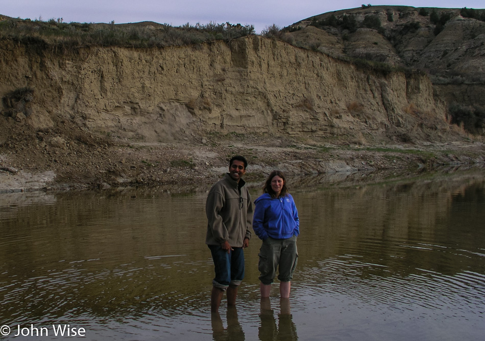
At 8:00 a.m., I see a campground that appears to be close to the Little Missouri River: it is. We drive past campers and pull into an empty campsite as close to the river as we can. A short walk through the grasses and past a lone Bison and we are at the muddy shore of the Little Missouri River. It’s the same routine as the other rivers, with the shoes and socks coming off, rolling up the pants, and stepping into the cold waters, this time with mud gushing between toes.
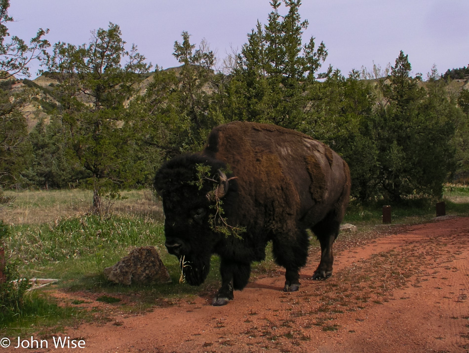
Leaving the campground, a capital specimen of bison makes the earth rumble as it saunters by with slow grace and demand for respect. Wild horses are nearby bringing the car to a stop again, allowing us to admire the perfection of this idyllic moment, truly appreciated by us city dwellers here in the national park.
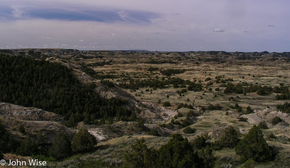
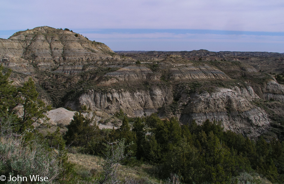
Bison wander the extent of the park, we see them off in the distance, and sometimes they are here right outside our window on the edge of the road. The badlands themselves are eroded prehistoric sedimentary hills carved by ravines slicing through cliffs. From the exposed rock, a kaleidoscope of color splashes the landscape, blue-grays, orange, and red, with rust butting up against yellowed greens. Odd shapes appear to be melting from the years of weather bearing down on these once-alluvial lands created by the detritus flowing over the plains from the Rocky Mountains millions of years ago. These are the grounds where fossils and petrified woods are found emerging through the surface; they are a vivid look into the past.
The road climbs, falls, and twists through this erupting landscape past scrub, box elder, and juniper, through a dozen different grasses, herbs, the occasional wild turkey, and vistas that stretch as far as the eye can see. The surprise here is the description of this being a badlands. When I hear that, I conjure seeing a land that is greatly unappealing, but to the contrary, this part of America has an attraction that requires a more thoughtful look.
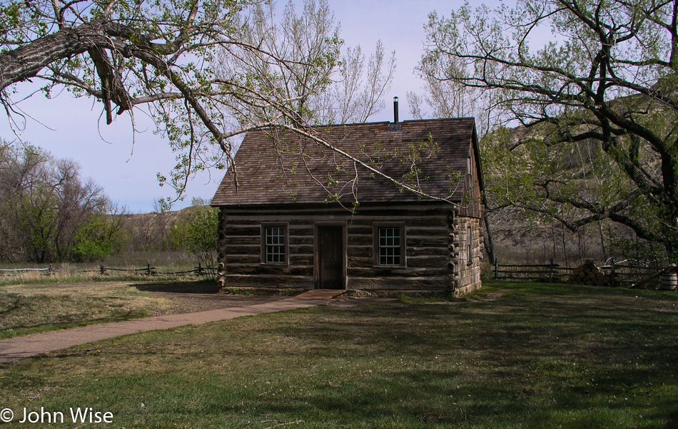
The visitor’s center was still closed during our early bird arrival, but it is now open. From here, we gain entrance to the grounds of the Maltese Cross Ranch Cabin, which Roosevelt had custom-made and where he lived during his years in the badlands. The cabin had originally been located seven miles south of where it rests today. The one-and-one-half-story cabin had a cellar prior to its move, and the upper half floor is where ranch hands would have slept. A few of the items in the cabin originally belonged to Roosevelt, with others being from the period to better demonstrate the living conditions of our future president back in the 1880s.
Back on the road, the car is quiet with the nodding tourists who could use a coffee right about now. At a gas station, Caroline and I clear the front seat of food, bags, CDs, maps, binoculars, crumbs, umbrellas, ponchos, empty cans, bottles, wrappers, and other miscellaneous stuff. We fold up the armrest, pull out the buried seat belt, and make space for a third person in the front seat.
To help keep Jay awake, we are stuffing him into the front seat so there will be no nodding off behind the sunglasses and insisting that he really was awake. Intimate would be a good description of conditions up here; tight and a bit uncomfortable would also describe things. Wacky and fun, though, are at the top of the list, and we pop in the CD from the Hindi film ‘Dil Chahta Hai,’ a favorite of all of ours. Dil Chahta Hai is a road trip movie following three friends and their quest to find love. In one particular scene, the guys are driving south in India to the beaches of Goa to a piece of music that is fitting to our moment squished into the front seat of our fire engine red Impala, except we are drifting through the grasslands of North Dakota far removed from any beaches.
The grasslands are part of the Little Missouri National Grasslands that encompass the Theodore Roosevelt National Park and remain to our left for the duration of our journey to the Northern Unit of the Roosevelt Park.
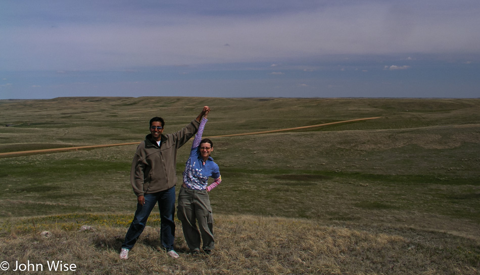
Not content to simply pass through, we turn off at Fairfield Pasture in the Grasslands to explore the details of what constitutes a national grassland. Following the dirt road until we are well away from the main road, we park and hike up the tallest hill around us to have a panoramic view of the area. Not a mountain in sight; trees and roofs are the tallest objects in our view. While this must be the flat land so many people lament, it is still very hilly, nearly ocean-like in its own way.
As is usual with our multi-thousand-mile road trips, we don’t have a lot of time in any particular location, and this one is the same. Before departing, I take a moment to really look around and give thought to the quantity and diversity of grasses that surround us. I have to get down on my knees, though, and take a more serious look to begin to appreciate how complex the flora is in our National Grasslands. This isn’t the grass we find in our front yards or on the golf course; these grasses are wild, colorful, bushy, thin, clumped together, weed-like, and flowering; they are many in their species and characteristics.
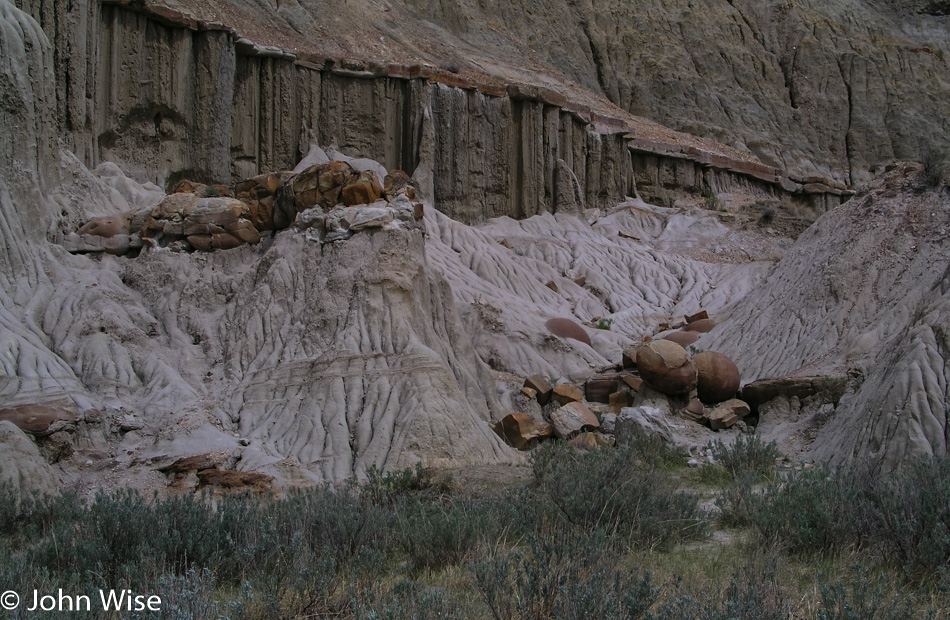
Crossing the Little Missouri River, we turn into the North Unit of Theodore Roosevelt National Park and lose an hour passing into the Central Time zone. The 14-mile road that traverses this segment of the park follows the river, although it’s out of view for most of the drive. With a turkey, more bison, and the return of the badland landscape, the park is at once familiar to us as it shares some similarities to its southern partner. Strikingly different is the tableland we cross between badland areas, offering a dramatic view of grasslands populated with grazing bison. This is a view as old as the earliest settlers would have seen all across the midsection of the United States.
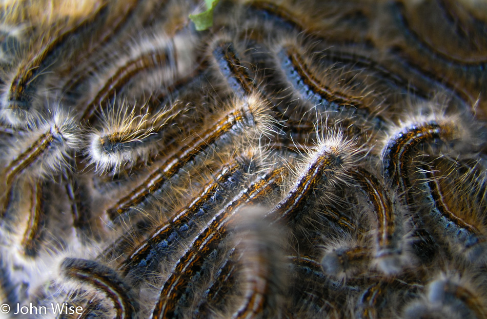
Wildflowers have started blooming here, lending more color to the already colorful landscape. The visitor center pointed out more than two dozen flowers in bloom that we unmercifully drove by, not having more time to stop and smell. The few we do stop for are splendid; a bumblebee flits around the blooms while in large silk cocoons hanging within ravaged milkweed plants are thousands of caterpillars.
We leave the park after only a cursory overview. We are still on the west side of North Dakota, and by evening, we need to be on the east side, just across the border from Minnesota.
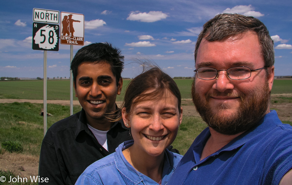
Driving across America, Caroline and I have seen countless signs that point out the Lewis & Clark Trail. From Fort Clatsop in Oregon to the Bitterroot Mountains in Idaho, from St. Joseph to Hermann, Missouri, and various other spots along the trail, we’ve seen more of the Lewis & Clark Trail than anyone we know and feel lucky to have done so.
The Missouri River outside of Williston passes below us, wide and muddy. A detour takes us back west to visit Fort Union Trading Post National Historic Site. Unknown to us, we crossed back into Montana to turn into the parking lot of the Trading Post. Set back from the banks of the Missouri, the Fort is perched on a hill, but back in 1828, when the Trading Post became operational, the Fort was literally on the banks of the river. At that time, a visitor would step off a boat and walk 50 feet to the front entrance. The Fort is an important part of the history of the northern United States as the fur trade preceded gold and farming as the business that allowed settlers to take root on these lands.
Prior to the arrival of whites, it was the Assiniboine, Crow, Cree, Ojibway, Blackfeet, and Hidatsa Tribes who claimed these lands as their own. It was the voyageurs and other fur traders who, with the help of the Native population, made trading posts such as this an essential frontier stop for the commerce that was beginning to change the way of life that had been practiced for centuries before.
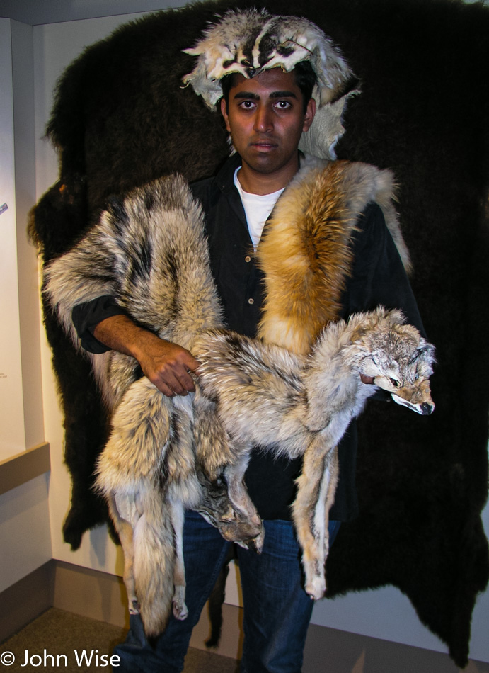
The Fort is well maintained, and from the accessible tower, you look out over the Missouri and see the world in much the same way it was seen more than 175 years ago. The museum on the grounds is small compared to other sites the park service administers. The real treasures of the museum are the various furs on display for the visitor to pick up, feel, and compare to the other furs. Jay makes a serious attempt to don a number of furs and get into the mountain man slash fur trapper mood but doesn’t quite get all that believable.
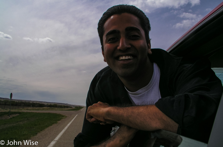
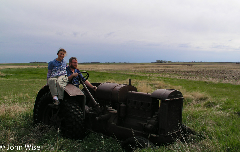
Leaving the fort, we reenter Montana only to turn around and go back to North Dakota. The route chosen was to allow us to trace the Missouri River to where it is called Lake Sakakawea backed up behind the Garrison Dam. The road doesn’t come close to the lake often enough to call this a river road; most of the time, we are driving through the rolling hills of the grasslands. An abandoned tractor is sinking into the earth next to a similarly deserted ramshackle box of a former dwelling. A look inside the old house it’s a wonder if this place ever kept the winds at bay. A single room, four windows, two doors, a rusty bed frame, a shelf, a small table, and some rusty cans: all reminders of that thing someone called home.
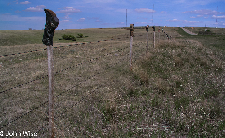
We’ve seen a few grain elevators so far, but now they are becoming far more numerous. The hills are flattening out the further we move east of the badlands, but the countryside continues to roll. Midwest humor or cowboy artist, someone has taken the time to mount a couple hundred boots and shoes along a stretch of fence posts; we accept the gift and smile our way down the road.
Down the street, we spot a church, or what’s left of it. The graveyard still looks well kept, but the church may never return to its former glory. Glass is gone, doors are gone, the piano is broken and half missing, and some broken chairs still stand upright by walls shedding their paint. Maybe it’s that North Dakota black soil pulling that which doesn’t belong on these plains into itself to erase the things that shouldn’t exist here?
We fill up in Garrison where the lone gas station sells pizza and subs, bait and tackle, ice, and cigs. As far as we can tell, this is the grocery store/mall/the closest thing to Wal-Mart between Minot and Bismarck, which are separated by 116 miles of road. Nearing 7:00 p.m. and exactly 2,500 miles down the road, we pay $23 for 11 gallons of gas; only 214 miles left to Mayville, North Dakota.
The smoke blew for miles during our approach without us knowing its origins. Crossing Lake Sakakawea, we learned its source. To the east, the grasses burn slowly with a long fireline of a low height, casually clearing the land. No fire trucks, no water tankers, no live-action helicopters reporting breathlessly back to the local TV station, and no commotion on the bridge to watch the fire. Just the fire doing what fire has done here on the plains for many a thousand years.
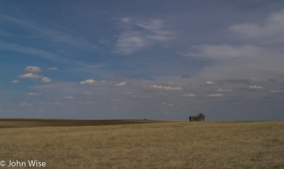
We stop again, this time another abandoned home. Only at this stop did we become acquainted with some wildlife we were not prepared for; wolves would have been more welcome. After traipsing around the empty, darkened cabin, we are back in the car and again driving east when Jay exclaims, nearly screaming in panic, that something is on him. The scream suggests Jay got back in the car with either a skunk attached to his leg or a weasel latched onto his back. As calmly as possible, I stop the car short of skidding off the road, and myself, now near panic, scream back at Jay, “WHAT IS IT?” Jay fitfully convulses out his answer: “It’s a bug!” “[The deity of your choice] on a bike, a bug?” I ask him. Jay squeaks back, “Yes!”
It’s on Jay’s hand; it’s multi-legged, brown, and beyond our ability to squish it, meaning its superpower is unsquishability. It’s a tick. Later, we learn it’s a dreaded wood tick. After failing to flatten it, Jay puts down his window and throws it from his hand. I gas it as the window finishes closing and we are speeding away from this monster that till this moment had been known of but never seen by the three of us. For the rest of the night, we will scratch imagined bugs.
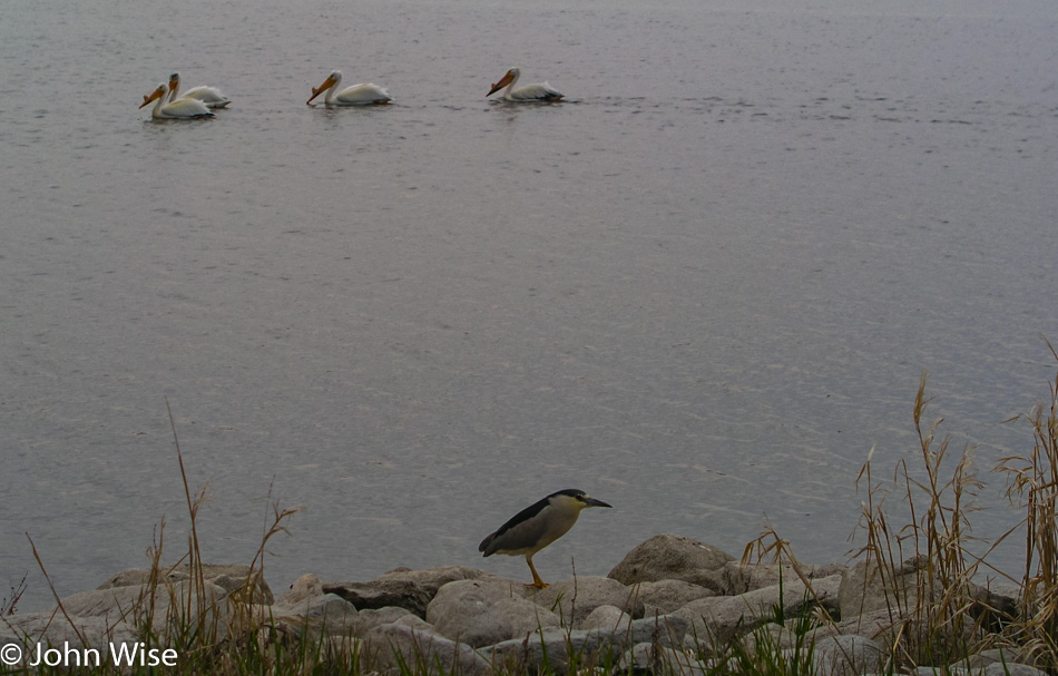
Farmland, just miles, and miles of farmland we are driving through. More elevators and then a total surprise, well not at first, but we start to pass water: ponds, small lakes, slightly larger lakes, so much water that migratory birds are in abundance here. We spot pelicans and more pelicans, kingfishers standing on the rocks at the water’s edge, diving cormorants, yellow-headed blackbirds with a most striking repertoire of songs. Pheasants and red-winged blackbirds are perched on cattails. We drive slowly with open windows, listening to the songbirds, watching kingfishers scatter at our approach, and stop from time to time to appreciate nature’s display.
Still itchy, scratchy, and certain we feel a bug on us every other moment, we find a way to make our bloodsucking tick encounter worse by talking about the diseases they impart on us, innocent victims. After the sun has set and dusk’s blue light is being overtaken by evening, it’s Caroline’s turn: “ON THE ITINERARY….IT’S ON THE PAPERS!” That tick didn’t get flicked off Jay’s hand; it made a mad jump back into the car. We must believe that the tick jumped back in as otherwise, we might think we were infested with the evil little things. Carefully, pinched between her fingers and sandwiched between the sheets of paper, Caroline places the tick outside the car on the ground, keeping her eye on it as I inch away.
Another hour in the car is in front of us. Nothing but a full inspection and shower is going to pacify our need to scratch and pick. And then, with the final light of day, it starts. At first, we think it’s raining; it sounds like rain but there’s no water on the windshield. That’s strange because it really does sound like rain. The sound stops, and we wonder what the heck that was, and then it starts again. Hmm, it sounds just like rain. It’s bugs, more bugs, bigger bugs, smaller bugs, lots of bugs, and clouds of bugs. So many bugs that we need a gas station to clean the windshield.
At the gas station, we describe the demon creature haunting our road trip; the girl at the front counter assures us that it’s not a tick phew. Yet the Sheriff in the shop insists it is. I think that the slight smile on the corners of the Sheriff’s mouth was the giveaway that he had recognized city folk freaking out over a tick and that it couldn’t hurt that much if we went on thinking we were being stalked by nature’s evil spawn.
By the time we arrive in Mayville, North Dakota, we are exhausted from our twitching, contorting, the acrobatics of fending off imaginary bugs crawling through our hair, down our necks, and on our legs that we forego the showers and fall immediately into bed and pass out. It’s 10:30 p.m.